The Black River
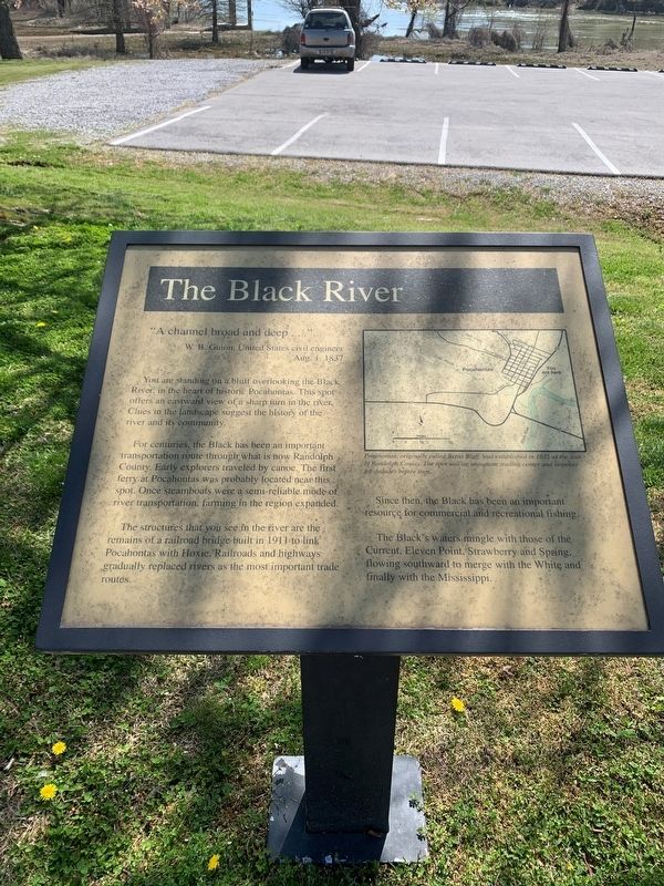
"A channel broad and deep…"
W B Guion, United States civil engineer
Aug. 1 1837
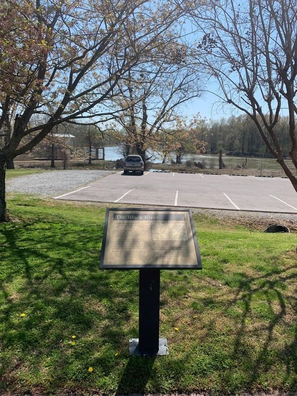
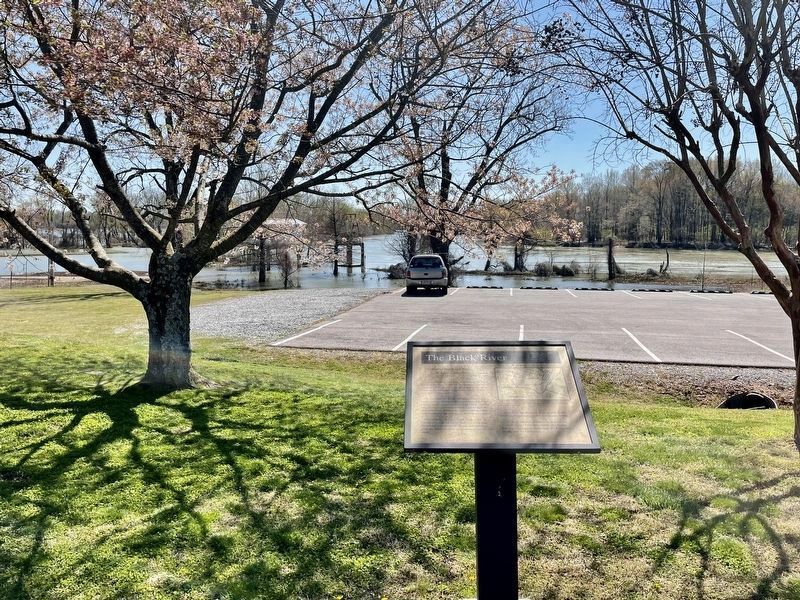
You are standing on a bluff overlooking the Black River, in the heart of historic Pocahontas. This spot offers an eastward view of a sharp turn in the river. Clues in the landscape suggest the history of the river and its community.
For centuries, the Black has been an important transportation route through what is now Randolph County. Early explorers traveled by canoe. The first ferry at Pocahontas was probably located near this spot. Once steamboats were a semi-reliable mode of river transportation farming in the region expanded.
The structures that you see in the river are the remains of a railroad bridge built in 1911 to link Pocahontas with Hoxie, Railroads and highways gradually replaced rivers as the most important trade routes.
Since then, the Black has been an important resource for commercial and recreational fishing.
The Black's water mingle with those of the Current, Eleven Point, Strawberry and Spring, flowing southward to mergewith the White and finally with the Mississippi.
[Caption:]
Pocahontas, originally called Bettis Bluff, was established in 1835 as the seat of Randolph County. The spot was an important trading center and stopover for decades before then.
Topics.
this page online
Location. 36° 15.585′ N, 90° 58.162′ W. Marker is in Pocahontas, Arkansas, in Randolph County. It is at the intersection of Bettis Street (U.S. 62/67) and Pope Street, on the right when traveling south on Bettis Street. Touch for map. Marker is at or near this postal address: 705 Bettis St, Pocahontas AR 72455, United States of America. Touch for directions.

Regionally, this marker is in the American South, specifically in the Upper South, and in the Ozarks. Globally, it is in North America, the Western Hemisphere, the Western World, and the Anglosphere. Historically, it finds itself in what was once the territory of the Mississippian Culture, the Louisiana Purchase, one of the Confederate States of America, and the Antebellum South.
Other nearby markers. At least 8 other markers are within walking distance of this marker: The River Basin (a few steps from this marker); Native American Culture (within shouting distance
Credits. This page was last revised on April 8, 2021. It was originally submitted on April 6, 2021, by Thomas Smith of Waterloo, Ill. This page has been viewed 750 times since then and 45 times this year. Photos: 1, 2. submitted on April 6, 2021, by Thomas Smith of Waterloo, Ill. 3. submitted on April 6, 2021, by Mark Hilton of Montgomery, Alabama. • Devry Becker Jones was the editor who published this page.
