Carrollton in Carroll County, Mississippi — The American South (East South Central)
Malmaison
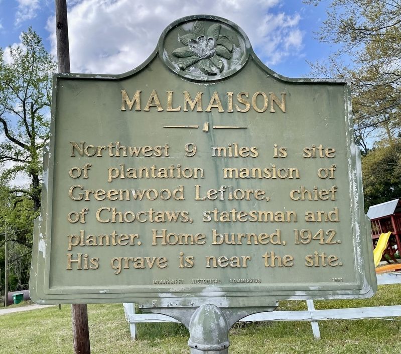
Photographed by Mark Hilton, April 5, 2021
1. Malmaison Marker
Erected 1951 by Mississippi Historical Commission.
Topics and series. This historical marker is listed in this topic list: Indigenous Peoples and Communities. In addition, it is included in the Mississippi State Historical Marker Program series list. A significant historical year for this entry is 1942.
Location. 33° 29.918′ N, 89° 55.565′ W. Marker is in Carrollton, Mississippi, in Carroll County. It is at the intersection of U.S. 82 and Lexington Street, on the right when traveling west on U.S. 82. Touch for map. Marker is in this post office area: Carrollton MS 38917, United States of America. Touch for directions.

Regionally, this marker is in Central Mississippi. It is also in the American South, specifically in the Deep South, and in the Mississippi Delta. Globally, it is in North America, a Gulf of Mexico state, the Western Hemisphere, the Western World, and the Anglosphere. Historically, it finds itself in what was once the territory of the
this page online
Other nearby markers. At least 8 other markers are within 11 miles of this marker, measured as the crow flies: Carrollton (here, next to this marker); Elizabeth Spencer (approx. 0.7 miles away); Namour & Smith (approx. 0.7 miles away); Carrollton Lodge No. 36 (approx. 0.8 miles away); Carroll County Tabernacle (approx. 1.1 miles away); Ensign William Devotie Billingsley (approx. 10.4 miles away); Winona Confederate Monument (approx. 10.6 miles away); Roebuck "Pops" Staples (approx. 10.9 miles away). Touch for a list and map of all markers in Carrollton.
Also see . . . Wikipedia article on Greenwood Leflore. (Submitted on April 6, 2021, by Mark Hilton of Montgomery, Alabama.)
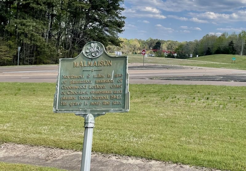
Photographed by Mark Hilton, April 5, 2021
2. View from Malmaison Marker towards U.S. Highway 82.
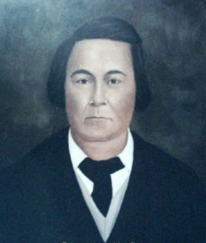
Public domain
3. Portrait of Chief Greenwood Leflore (June 3, 1800 – August 31, 1865)
Credits. This page was last revised on April 6, 2021. It was originally submitted on April 6, 2021, by Mark Hilton of Montgomery, Alabama. This page has been viewed 1,541 times since then and 142 times this year. Photos: 1, 2, 3. submitted on April 6, 2021, by Mark Hilton of Montgomery, Alabama.
