Dardenelle in Yell County, Arkansas — The American South (West South Central)
Old Brearley Cemetery
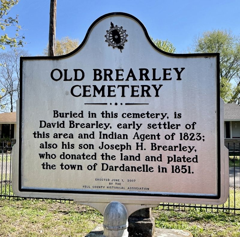
Photographed by Mark Hilton, April 4, 2021
1. Old Brearley Cemetery Marker
Erected 2007 by Yell County Historical Association.
Topics. This historical marker is listed in these topic lists: Cemeteries & Burial Sites • Settlements & Settlers. A significant historical year for this entry is 1823.
Location. 35° 13.878′ N, 93° 9.574′ W. Marker is in Dardenelle, Arkansas, in Yell County. It is on Brearley Street east of North Front Street, on the left when traveling east. Touch for map. Marker is at or near this postal address: 1212 Brearley Street, Dardanelle AR 72834, United States of America. Touch for directions.

Regionally, this marker is in the Arkansas River Valley and in the Ouachita Mountains. It is also in the American South and specifically in the Upper South. Globally, it is in North America, the Western Hemisphere, the Western World, and the Anglosphere. Historically, it finds itself in what was once the territory of the Mississippian Culture, the Louisiana Purchase, one
this page online
Other nearby markers. At least 8 other markers are within walking distance of this marker: Council Oak (about 300 feet away, measured in a direct line); Action at Dardenelle (approx. half a mile away); Jefferson Davis Highway (approx. 0.6 miles away); Dardanelle Confederate Monument (approx. 0.6 miles away); Yell County First Court House (approx. 0.6 miles away); Yell County Council Oaks (approx. 0.6 miles away); The First Presbyterian Church (approx. ¾ mile away); Historic Downtown Dardanelle (approx. 0.8 miles away). Touch for a list and map of all markers in Dardenelle.
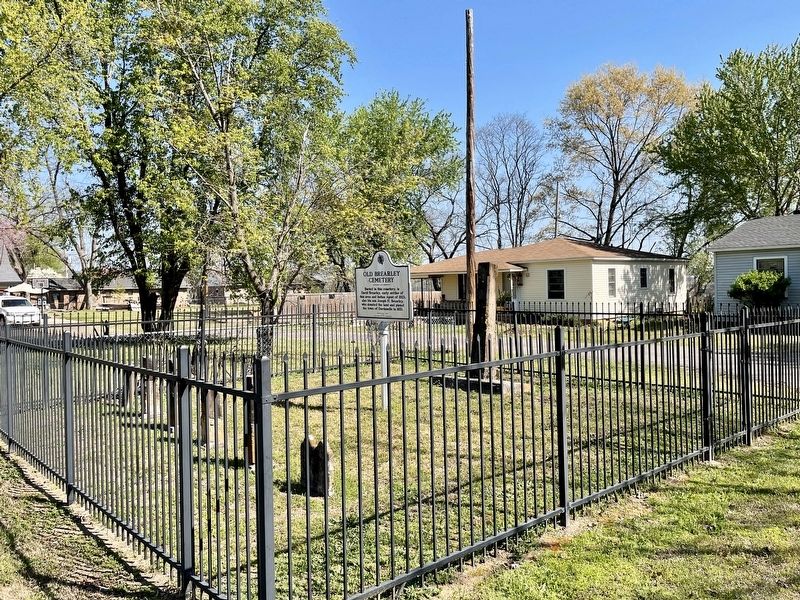
Photographed by Mark Hilton, April 4, 2021
2. Old Brearley Cemetery and marker.
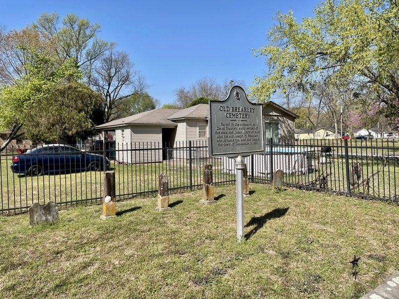
Photographed by Mark Hilton, April 4, 2021
3. Old Brearley Cemetery and marker.
Credits. This page was last revised on April 7, 2021. It was originally submitted on April 7, 2021, by Mark Hilton of Montgomery, Alabama. This page has been viewed 745 times since then and 68 times this year. Photos: 1, 2, 3. submitted on April 7, 2021, by Mark Hilton of Montgomery, Alabama.
