Bryan in Brazos County, Texas — The American South (West South Central)
Mount Calvary Cemetery
Photographed by James Hulse, April 3, 2021
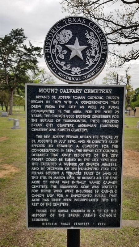
1. Mount Calvary Cemetery Marker
Bryan's St. Joseph Roman Catholic Church began in 1873 with a congregation that drew from the city as well as rural communities in the area. For the next 25 years, the church used existing cemeteries for the burials of parishioners. These included Bryan City Cemetery, Moravian (Smetana) Cemetery and Kurten Cemetery.
The Rev. Joseph Pelnar began his tenure at St. Joseph's in July 1890, and he directed early efforts to establish a cemetery for the congregation. In 1896, the Bryan City council declared that only residents of the city proper could be buried in the city cemetery. This excluded a number of church members, and in December of the following year Rev. Pelnar bought a ten-acre tract of land at this site. In March 1898, he blessed all but one acre of what was initially named Calvary Cemetery. The remaining acre was reserved for those who were ineligible by Catholic Canon Law for a sanctioned burial. That acre has since been incorporated into the rest of the cemetery.
Today, the burial ground is a tie to the history of the Bryan area's Catholic residents.
Historic Texas Cemetery - 2004
Erected 2004 by Texas Historical Commission. (Marker Number 13298.)
Topics. This historical marker is listed in this topic list: Cemeteries & Burial Sites. A significant historical month for this entry is March 1898.
Location. 30° 41.497′ N, 96° 21.638′ W. Marker is in Bryan, Texas, in Brazos County. It can be reached from Old Kurten Road 0.2 miles Legion Court. The marker is located in the Mount Calvary Cemetery near the entrance. Touch for map. Marker is at or near this postal address: 2801 Old Kurten Road, Bryan TX 77803, United States of America. Touch for directions.

Regionally, this marker is in the Prairies & Lakes Region. It is also in the American South. Globally, it is in North America, a Gulf of Mexico
this page online
Other nearby markers. At least 8 other markers are within one mile of this marker, measured as the crow flies: Earl Graham Post 159 (approx. 0.3 miles away); Old Bryan City Cemetery (approx. 0.4 miles away); Isom Palmer (approx. 0.7 miles away); Charles Eric Jenkins (approx. 0.7 miles away); Confederate Veterans in Bryan City Cemetery (approx. 0.7 miles away); Bryan City Cemetery (approx. 0.8 miles away); Black Education in Bryan (approx. one mile away); Allen Military Academy (approx. 1.1 miles away). Touch for a list and map of all markers in Bryan.
Photographed by James Hulse, April 3, 2021
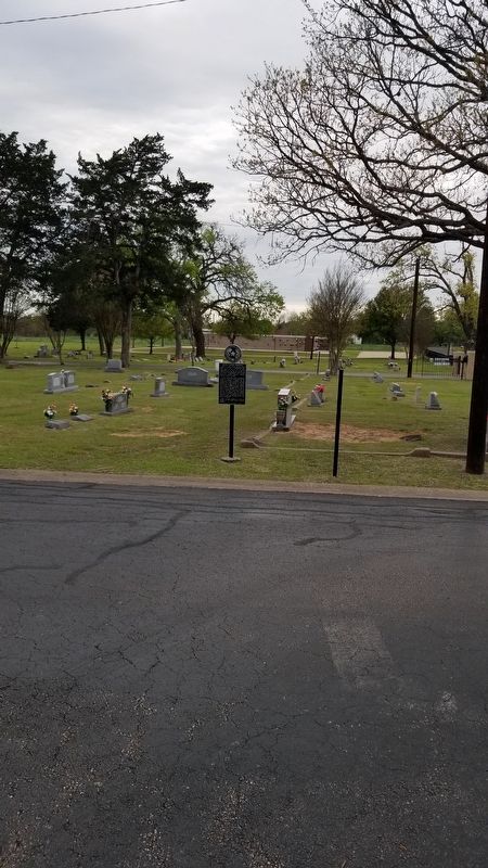
2. Mount Calvary Cemetery Marker
Photographed by James Hulse, April 3, 2021
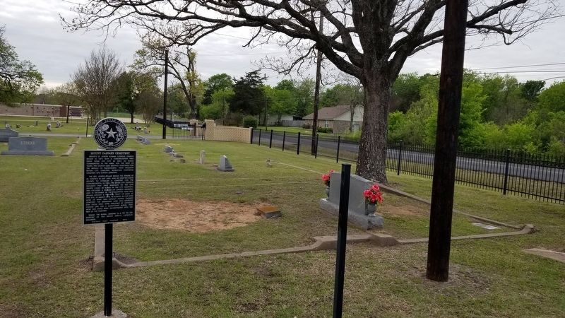
3. The view of the Mount Calvary Cemetery Marker by the road
Credits. This page was last revised on April 7, 2021. It was originally submitted on April 7, 2021, by James Hulse of Medina, Texas. This page has been viewed 496 times since then and 39 times this year. Photos: 1, 2, 3. submitted on April 7, 2021, by James Hulse of Medina, Texas.
