Wrightsville in York County, Pennsylvania — The American Northeast (Mid-Atlantic)
Wrightsville Engagement
Fight for the Bridge
— Gettysburg Campaign —
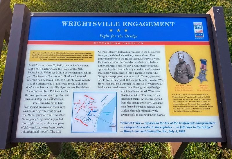
After a stunning victory at Chancellorsville in May 1863, Confederate General Robert E. Lee led the Army of Northern Virginia through Maryland into Pennsylvania, marching east to threaten Philadelphia, Baltimore, and Washington, D.C. The Army of the Potomac marched north from the capital, searching for Lee. On July 1-3, the armies collided at Gettysburg in one of the pivotal battles of the Civil War. Three days later, after a bloody defeat, the Confederates began retracing their steps to Virginia.
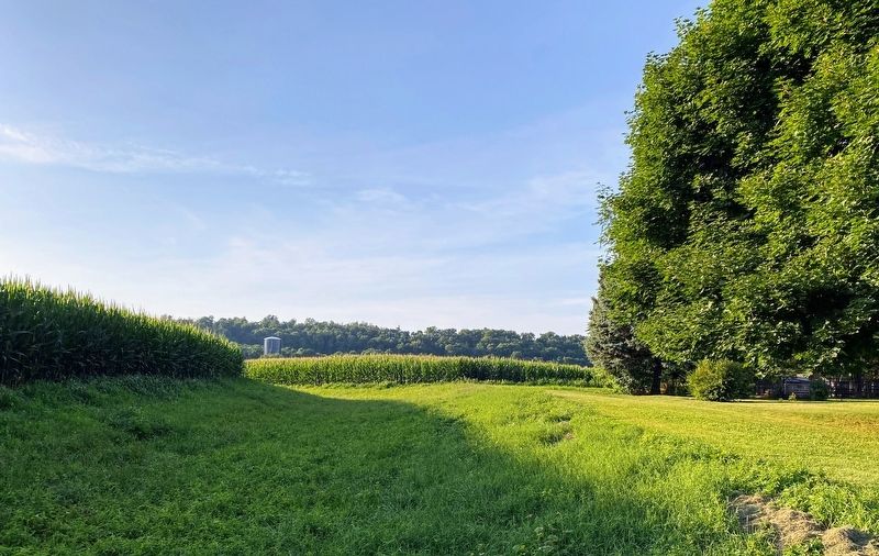
At 6:57 P.M. on June 28, 1863, the crack of a cannon sent a shell hurtling over the heads of the 27th Pennsylvania Volunteer Militia entrenched just behind you. Confederate General John B. Gordon's hardened veterans had deployed in these fields "to move rapidly …to the bridge, seize it, and cross to the Columbia side," as he later wrote. His objective was Harrisburg. Union Col. Jacob G. Frick's men had thrown up earthworks to protect the town and stop the Confederates.
The Pennsylvanians had been issued muskets only six days earlier, during what was called the "Emergency of 1863." Another "emergency" regiment supported their right flank, while a company of African Americans from nearby Columbia held the left. The 31st Georgia Infantry deployed skirmishers in the fields across from you, and Gordon's artillery moved closer. Two guns unlimbered in the Huber farmhouse (Hybla) yard. Half an hour after the first shot, as shells and bullets unnerved Frick's men, he saw a Confederate regiment approaching the river on the right and ordered a retreat that quickly disintegrated into a panicked flight. The Georgians swept past here in pursuit. Twenty-year-old Sgt. Francis Hudgins, 38th Georgia Infantry, wrote, "We drove them pell-mell through the streets of Wrightsville." Frick's men raced across the mile-long railroad bridge, which had been mined. When the charges failed to blow it up, Frick ordered it burnt. As the fire spread from the bridge into town, Gordon's men formed a bucket brigade and worked through midnight with townspeople to extinguish the flames.
"Colonel Frick …exposed to the fire of the Confederate sharpshooters …whispered an order to the captains …to fall back to the bridge." —Miner's Journal, Pottsville, Pa., July 4, 1863
[Sidebar:]
Col. Jacob G. Frick saw action at the Battle of Fredericksburg, Virginia, on December 13, 1862, and the next spring at the Battle of Chancellorsville on May 3, 1863. In each battle he saved the regimental colors, the second time engaging in hand-to-hand combat with the Confederate soldier who had seized them. In 1892 he was awarded the Medal of Honor for his bravery.
Erected 2019 by Pennsylvania Civil War Trails.
Topics and series. This historical marker is listed in this topic list: War, US Civil. In addition, it is included in the Pennsylvania Civil War Trails series list. A significant historical date for this entry is June 28, 1863.
Location. 40° 1.602′ N, 76° 32.415′ W. Marker is in Wrightsville, Pennsylvania, in York County. Marker is on Cherry Street west of North 7th Street, on the right when traveling west. To access the marker, park at the dead-end of 600 Cherry Street. Touch for map. Marker is at or near this postal address: 600 Cherry Street, Wrightsville PA 17368, United States of America. Touch for directions.
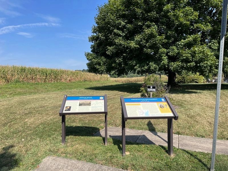
Other nearby markers. At least 8 other markers are within walking distance of this marker. Mifflin House (here, next to this marker); World War Memorial (approx. ¼ mile away); Road of Remembrance (approx. ¼ mile away); Springetsbury Manor (approx. ¼ mile away); Veterans Memorial (approx. ¼ mile away); Wrightsville (approx. 0.3 miles away); U.S.S. Maine Memorial (approx. 0.4 miles away); Flame of Freedom (approx. 0.4 miles away). Touch for a list and map of all markers in Wrightsville.
More about this marker. The center-bottom of the marker features a map of the Union & Confederate positions during the battle.
Credits. This page was last revised on September 7, 2022. It was originally submitted on December 16, 2020, by Shane Oliver of Richmond, Virginia. This page has been viewed 287 times since then and 13 times this year. Last updated on April 7, 2021, by Carl Gordon Moore Jr. of North East, Maryland. Photos: 1. submitted on December 16, 2020, by Shane Oliver of Richmond, Virginia. 2. submitted on September 7, 2022, by Devry Becker Jones of Washington, District of Columbia. 3. submitted on December 16, 2020, by Shane Oliver of Richmond, Virginia. • Bernard Fisher was the editor who published this page.


