Lower Chanceford Township near Airville in York County, Pennsylvania — The American Northeast (Mid-Atlantic)
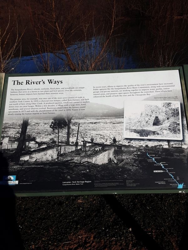
The River's Ways
This pristine area, for example, was once one of the most active centers of trade in southern York County. In 1830, a charcoal iron furnace, called York Furnace, was built just north of here along Otter Creek. It produced pig iron, which was carried to markets down river on canal barges. Within a few decades, a village with a large store, hotel, warehouse, and several wharves evolved. Businesses closed when the furnace ceased operations in 1875 and with the abandonment of the canal in 1894. Nature is now slowly erasing the human imprint at York Furnace.
In recent years, efforts to improve the quality of the river's environment have increased. Public agencies like the Susquehanna River Basin Commission, along with environmental groups and private interests, are working together to improve water quality, restore natural areas, and preserve open spaces throughout the watershed. These efforts have enhanced the health of both the river and the Chesapeake Bay.
A photo of the ice gorge on the Susquehanna River and the ruins of the York Furnace, January 4, 1911.
Courtesy York County Heritage Trust
York Furnace at Otter Creek circa 1938.
Courtesy York County Heritage Trust
Lancaster - York Heritage Region
Susquehanna River Water Trail
This project was completed with generous financial contributions from the following project partners:
-National Park Service Chesapeake Bay Gateway & Water Trail Network
-Pennsylvania Department of Conservation and Natural Resources Bureau of Recreation and Conservation Growing Greener & Heritage Park Programs
-Lancaster County Planning Commission
-East Donegal Township
-Marietta Borough
-PPL Holtwood LLC
-Exelon
-Safe Harbor Water Power Corporation
-York Haven Power Company
-The John Wright Company
[map labels]
Harrisburg
Middletown
Goldsboro
York Haven Dam
Marietta
Columbia
Wrightsville
Safe Harbor Dam
YOU ARE HERE
Holtwood Dam
PA
MASON-DIXON LINE
MD
Conowingo Dam
Havre de Grace
Chesapeake Bay
Interpretive Exhibits
Major Towns
Chesapeake Bay Gateways Network
wwww.baygateways.net
Erected by Chesapeake Bay Gateways Network.
Topics. This historical marker is listed in these topic lists: Environment • Waterways & Vessels. A significant historical date for this entry is January 4, 1911.
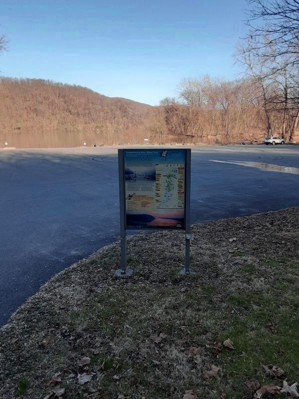
Location. 39° 52.345′ N, 76° 22.835′ W. Marker is near Airville, Pennsylvania, in York County. It is in Lower Chanceford Township. Marker is on Indian Steps Road, on the left when traveling south. Head a very short distance from where PA 425 curves 180 degrees to left (in its northbound direction just before reaching western Susquehanna River shore). Plaque is just off the river on the grounds of the York Furnace Boat Ramp. Touch for map. Marker is in this post office area: Airville PA 17302, United States of America. Touch for directions.
Other nearby markers. At least 8 other markers are within walking distance of this marker. Susquehanna River Water Trail (within shouting distance of this marker); York Furnace Bridge (approx. 0.2 miles away); Susquehanna Canal (approx. 0.2 miles away); Susquehanna and Tidewater Canal (approx. 0.2 miles away); Indian Steps Cabin (approx. 0.7 miles away); Indian Steps (approx. 0.7 miles away); A Story Told by Our Totem Pole (approx. 0.7 miles away); Indigenous Peoples of the Susquehanna Valley (approx. 0.7 miles away). Touch for a list and map of all markers in Airville.
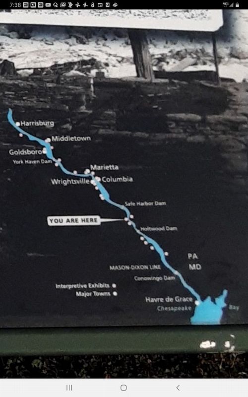
Regarding The River's Ways. On the map, Major Towns in the downstream direction are Harrisburg, Middletown, Goldsboro, Marietta, Columbia, Wrightsville, Havre de Grace [Md.]. "You Are Here" is between Safe Harbor Dam and Holtwood Dam.
Credits. This page was last revised on February 7, 2023. It was originally submitted on March 23, 2021, by Carl Gordon Moore Jr. of North East, Maryland. This page has been viewed 191 times since then and 11 times this year. Last updated on April 7, 2021, by Carl Gordon Moore Jr. of North East, Maryland. Photos: 1, 2, 3. submitted on March 23, 2021, by Carl Gordon Moore Jr. of North East, Maryland. • Bill Pfingsten was the editor who published this page.


