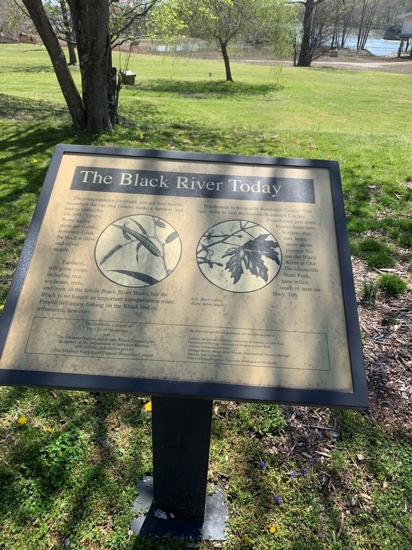
The Black River Today
The contemporary riverbank you see here barely resembles the site that fishers, hunters, farmers, and traders visited for 10,000 years. Some native trees are visible, however. Look for black willow and silver maple.
Farmers still grow crops, including rice, soybeans, milo, and corn, in the fertile Black River basin, but the Black is no longer an important transportation route. People still enjoy fishing on the Black and its tributaries, however.
Pocahoptas is the seat of Randolph County. You may want to visit the historic Randolph County Courthouse just three blocks from here. Visitors also can learn more about pioneer life on the Black River at Old Davidsonville State Park, nine miles south of here on Hwy. 166.
Erected by The City of Pocahontas, Arkansas; The Arkansas Natural and Scenic Rivers Commission.
Topics. This historical marker is listed in these topic lists: Agriculture • Political Subdivisions • Settlements & Settlers • Waterways & Vessels.
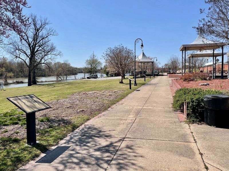
Location. 36° 15.614′ N, 90° 58.142′ W. Marker is in Pocahontas, Arkansas, in Randolph County. Marker is on U.S. 62/67 north of South Bettis Street, on the right when traveling north. Touch for map. Marker is at or near this postal address: 109 Hwy 67, Pocahontas AR 72455, United States of America. Touch for directions.
Other nearby markers.
Regarding The Black River Today. Left Black willow, Right Silver maple
Credits. This page was last revised on April 10, 2021. It was originally submitted on April 7, 2021, by Thomas Smith of Waterloo, Ill. This page has been viewed 139 times since then and 11 times this year. Photos: 1. submitted on April 7, 2021, by Thomas Smith of Waterloo, Ill. 2. submitted on April 8, 2021, by Mark Hilton of Montgomery, Alabama. • Devry Becker Jones was the editor who published this page.

