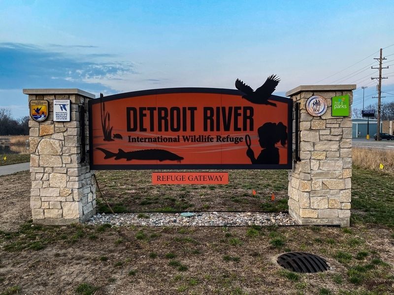
Trenton in Wayne County, Michigan — The American Midwest (Great Lakes)
The Detroit River / Detroit River Recovery
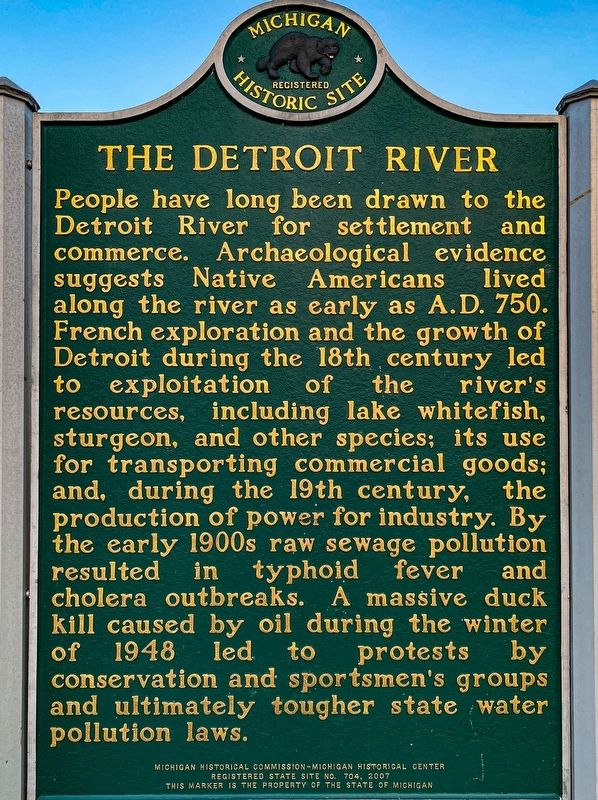
The Detroit River
People have long been drawn to the Detroit River for settlement and commerce. Archaeological evidence suggests Native Americans lived along the river as early as A.D. 750. French exploration and the growth of Detroit during the 18th century led to exploitation of the river's resources, including lake whitefish, sturgeon, and other species; its use for transporting commercial goods; and, during the 19th century, the production of power for industry. By the early 1900s raw sewage pollution resulted in typhoid fever and cholera outbreaks. A massive duck kill caused by oil in the winter of 1948 led to protests by conservation and sportsmen's groups and ultimately tougher state water pollution laws.
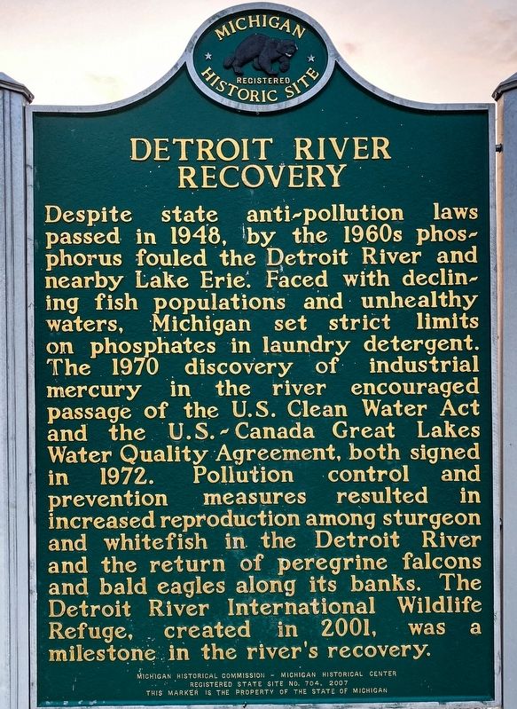
Detroit River Recovery
Despite state anti-pollution laws passed in 1948, by the 1960s phosphorus fouled the Detroit River and nearby Lake Erie. Faced with declining fish populations and unhealthy waters, Michigan set strict limits on phosphates in laundry detergent. The 1970 discovery of industrial mercury in the river encouraged passage of the U.S. Clean Water Act and the U.S. - Canada Great Lakes Water Quality Agreement, both signed in 1972. Pollution control and prevention measures resulted in increased reproduction among sturgeon and whitefish in the Detroit River and the return of peregrine falcons and bald eagles along its banks. The Detroit River International Wildlife refuge, created in 2001, was a milestone in the river's recovery.
Erected 2007 by Michigan Historical Commission - Michigan Historical Center. (Marker Number S704.)
Topics and series. This historical marker is listed in these topic lists: Environment • Settlements & Settlers • Waterways & Vessels. In addition, it is included in the Michigan Historical Commission series list. A significant historical year for this entry is 1948.
Location. 42° 6.956′ N, 83° 11.047′ W. Marker is in Trenton, Michigan, in Wayne County. Marker can be reached from West Jefferson Avenue, 0.1 miles south of Toledo Street, on the right when traveling north. Touch for map. Marker is at or near this postal address: 5437 West Jefferson Avenue, Trenton MI 48183, United States of America. Touch for directions.
Other nearby markers. At least 8 other markers are within 3 miles of this marker, measured as the crow flies. Times of Change (approx. one mile away); Michigan Wyandot and Monguagon / Battle of Monguagon (approx. 1.1 miles away); Historical Shipyard Site (approx. 1.6 miles away); The Old Burial Ground (approx. 1.6 miles away); Anchor from the schooner "Oak Leaf" (approx. 1.6 miles away); First Trenton High School (approx. 1.8 miles away); Wagstaff-Duddleston Home (approx. 1.9 miles away); Military Outpost (approx. 2.2 miles away). Touch for a list and map of all markers in Trenton.
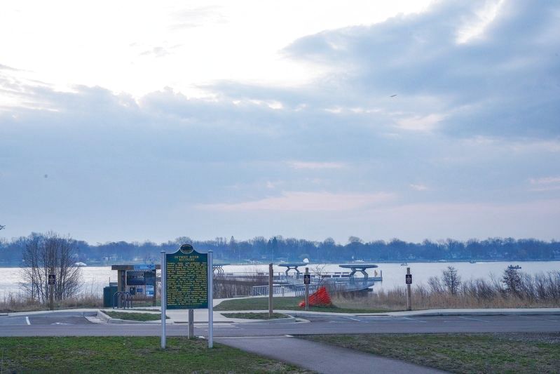
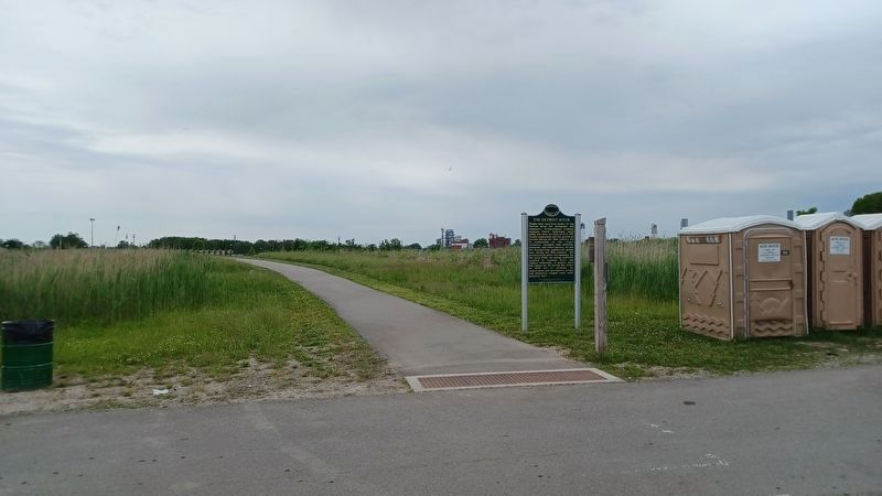
More about this marker. The marker is located in the Detroit River International Wildlife Refuge at the far eastern part of the park along the Detroit River.
Also see . . . Detroit River. Wikipedia article that includes sections on History and Pollution and conservation efforts. (Submitted on June 26, 2022, by Joel Seewald of Madison Heights, Michigan.)
Credits. This page was last revised on June 26, 2022. It was originally submitted on April 7, 2021, by J.T. Lambrou of New Boston, Michigan. This page has been viewed 298 times since then and 47 times this year. Photos: 1, 2, 3. submitted on April 7, 2021, by J.T. Lambrou of New Boston, Michigan. 4. submitted on June 26, 2022, by Joel Seewald of Madison Heights, Michigan. 5. submitted on April 7, 2021, by J.T. Lambrou of New Boston, Michigan. • Mark Hilton was the editor who published this page.
