Tulsa in Tulsa County, Oklahoma — The American South (West South Central)
Tulsa's 11th Street Bridge
Spanning History
Photographed by Jason Voigt, April 7, 2021
1. Tulsa's 11th Street Bridge Marker
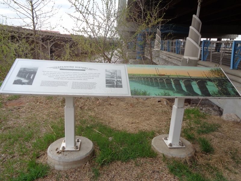
The 11th Street Bridge underwent maintenance and improvements in the decade following its incorporation into Route 66. Railings and ornamentation were replaced in the modern, geometric Art Deco architectural style popular in Tulsa's booming downtown. Funding from the Public Works Administration, a federally sponsored Depression-era program, widened the bridge by 16 feet through the addition of a second set of concrete spans.
After World War II, American automobile ownership soared to a new high and travelers sought leisure and entertainment along Route 66. Large-scale folk sculptures and Wild West-themed attractions lined the highway through Oklahoma. Nevertheless, by the 1970s the construction of the Interstate Highway System had bypassed Route 66 across the
this page online
Topics and series. This historical marker is listed in these topic lists: Architecture • Bridges & Viaducts • Industry & Commerce • Roads & Vehicles. In addition, it is included in the U.S. Route 66 series list.
Location. 36° 8.668′ N, 96° 0.22′ W. Marker is in Tulsa, Oklahoma, in Tulsa County. It can be reached from Southwest Avenue (Old U.S. 66) near Riverside Drive. Marker is near Cyrus Avery Centennial Plaza. Touch for map. Marker is at or near this postal address: 1399 U.S Rte 66, Tulsa OK 74127, United States of America. Touch for directions.

Regionally, this marker is in the Muscogee Nation, specifically in the Cherokee Nation, and in Northeast Oklahoma—Green Country. It is also in the American South, specifically on the prairies, and on the Southern Plains. Globally, it is in North America, the Western Hemisphere, the Western World, and the Anglosphere.

Photographed by Jason Voigt, April 7, 2021
2. Tulsa's 11th Street Bridge Marker
Marker is underneath the I-244 bridge, where there are walkways underneath it. Marker can be accessed by bike trails and the Cyrus Avery Centennial Plaza.
Other nearby markers. At least 8 other markers are within walking distance of this marker: "East Meets West" (within shouting distance of this marker); Cyrus Stevens Avery (within shouting distance of this marker); Cyrus Avery Route 66 Memorial Bridge (within shouting distance of this marker); a different marker also named Tulsa's 11th Street Bridge (within shouting distance of this marker); The Bridge Builder (within shouting distance of this marker); The Bridge that Saved Tulsa (about 400 feet away, measured in a direct line); Oil Capital Motel (approx. 0.3 miles away); Will Rogers Motor Court (approx. 0.3 miles away). Touch for a list and map of all markers in Tulsa.
Another marker is no longer nearby. 11th Street Bridge, Tulsa, Oklahoma (was within shouting distance of this marker but has been permanently removed).
Also see . . . 11th Street Bridge on Wikipedia. The bridge was added to the National Register of Historic Places in 1996, and was renamed the Cyrus Avery Route 66 Memorial Bridge in 2004. It has been closed to vehicular traffic since 1980 and pedestrians since 2008. (Submitted on April 7, 2021, by Jason Voigt of Glen Carbon, Illinois.)
Credits. This page was last revised on April 7, 2021. It was originally submitted on April 7, 2021, by Jason Voigt of Glen Carbon, Illinois. This page has been viewed 535 times since then and 32 times this year. Photos: 1, 2. submitted on April 7, 2021, by Jason Voigt of Glen Carbon, Illinois.
