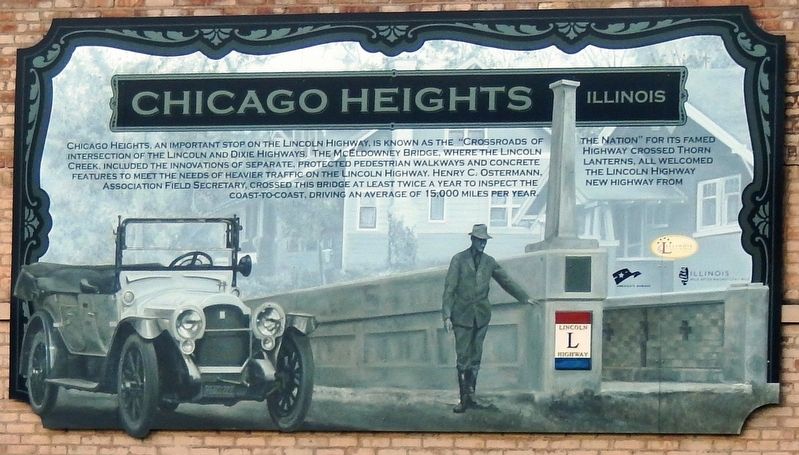
Chicago Heights in Cook County, Illinois — The American Midwest (Great Lakes)
Chicago Heights
Illinois
Erected by Illinois Lincoln Highway Coalition.
Topics and series. This historical marker is listed in these topic lists: Bridges & Viaducts • Roads & Vehicles. In addition, it is included in the Lincoln Highway series list.
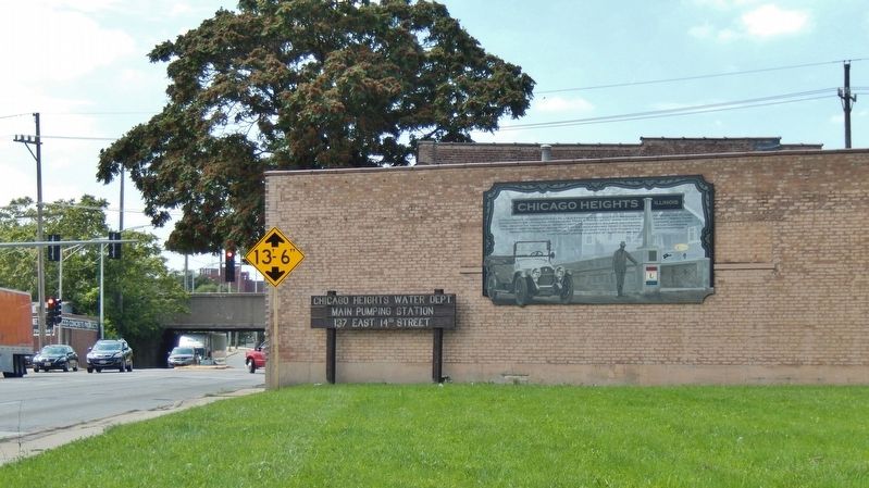
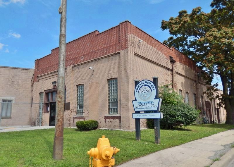
Location. 41° 30.38′ N, 87° 37.917′ W. Marker is in Chicago Heights, Illinois, in Cook County. Marker is at the intersection of East Lincoln Highway (East 14th Street) (U.S. 30) and Lowe Avenue, on the right when traveling west on East Lincoln Highway (East 14th Street). Marker panel is mounted above eye-level on the east side of the Chicago Heights Water Department building at this address. Touch for map. Marker is at or near this postal address: 137 East 14th Street, Chicago Heights IL 60411, United States of America. Touch for directions.
Other nearby markers. At least 8 other markers are within 5 miles of this marker, measured as the crow flies. Site of Absolem Wells Cabin (approx. half a mile away); Dedicated to Adam Brown (approx. 1.8 miles away); Park Forest, Illinois (approx. 3 miles away); Matteson, Illinois (approx. 3.8 miles away); Camp Thornton #2605 and the Civil Conservation Corps (approx. 3.9 miles away); Sauk Village (approx. 4.1 miles away); Dixie Highway connected Chicago to Miami in the early days of automobile travel (approx. 4.1 miles away); Dixie Highway (approx. 4.1 miles away).
Also see . . . The Lincoln Highway in Illinois. The Lincoln Highway enters Illinois from the east [Indiana] on U.S. 30. The route runs west through Chicago Heights, where the highway crossed the Dixie Highway, commemorated at Arche Park. (Submitted on April 7, 2021, by Cosmos Mariner of Cape Canaveral, Florida.)
Credits. This page was last revised on January 30, 2023. It was originally submitted on April 7, 2021, by Cosmos Mariner of Cape Canaveral, Florida. This page has been viewed 370 times since then and 33 times this year. Photos: 1, 2, 3. submitted on April 7, 2021, by Cosmos Mariner of Cape Canaveral, Florida.


