Tulsa in Tulsa County, Oklahoma — The American South (West South Central)
Whittier Square
Kendall-Whittier Historic Site
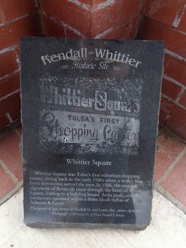
Photographed by Jason Voigt, April 7, 2021
1. Whittier Square Marker
Topics and series. This historical marker is listed in these topic lists: Industry & Commerce • Roads & Vehicles. In addition, it is included in the U.S. Route 66 series list. A significant historical year for this entry is 1926.
Location. 36° 9.584′ N, 95° 57.482′ W. Marker is in Tulsa, Oklahoma, in Tulsa County. It is on South Lewis Avenue near East Admiral Boulevard, on the right when traveling north. Marker is actually underneath a shelter, at the northwest corner of a parking lot. Touch for map. Marker is at or near this postal address: 5 S Lewis Ave, Tulsa OK 74104, United States of America. Touch for directions.

Regionally, this marker is in the Muscogee Nation, specifically in the Cherokee Nation, and in Northeast Oklahoma—Green Country. It is also in the American
this page online
Other nearby markers. At least 8 other markers are within walking distance of this marker: A different marker also named Whittier Square (here, next to this marker); The Church Studio (approx. 0.7 miles away); Borden's Restaurant (approx. 0.9 miles away); Casa Loma Hotel (Campbell Hotel) (approx. 0.9 miles away); Tulsa Monument Company (approx. 0.9 miles away); Bama Pie Company (approx. 0.9 miles away); Dry Cleaners (approx. 0.9 miles away); Admiral Place (approx. 0.9 miles away). Touch for a list and map of all markers in Tulsa.
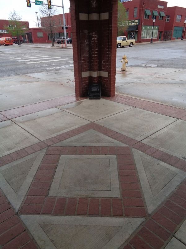
Photographed by Jason Voigt, April 7, 2021
2. Whittier Square Marker
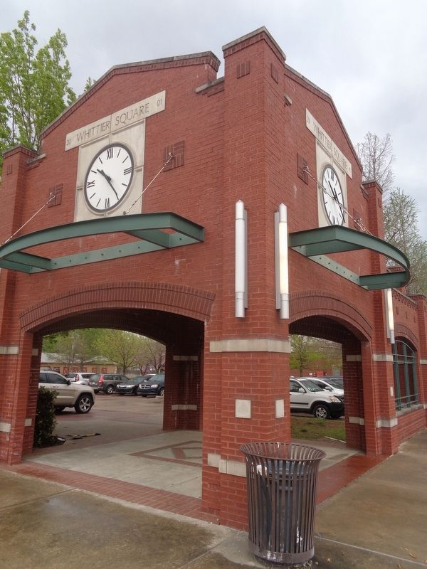
Photographed by Jason Voigt, April 7, 2021
3. Whittier Square Marker
Marker is underneath this sheltered area
Credits. This page was last revised on April 7, 2021. It was originally submitted on April 7, 2021, by Jason Voigt of Glen Carbon, Illinois. This page has been viewed 608 times since then and 33 times this year. Photos: 1, 2, 3. submitted on April 7, 2021, by Jason Voigt of Glen Carbon, Illinois.
