Etowah in Mississippi County, Arkansas — The American South (West South Central)
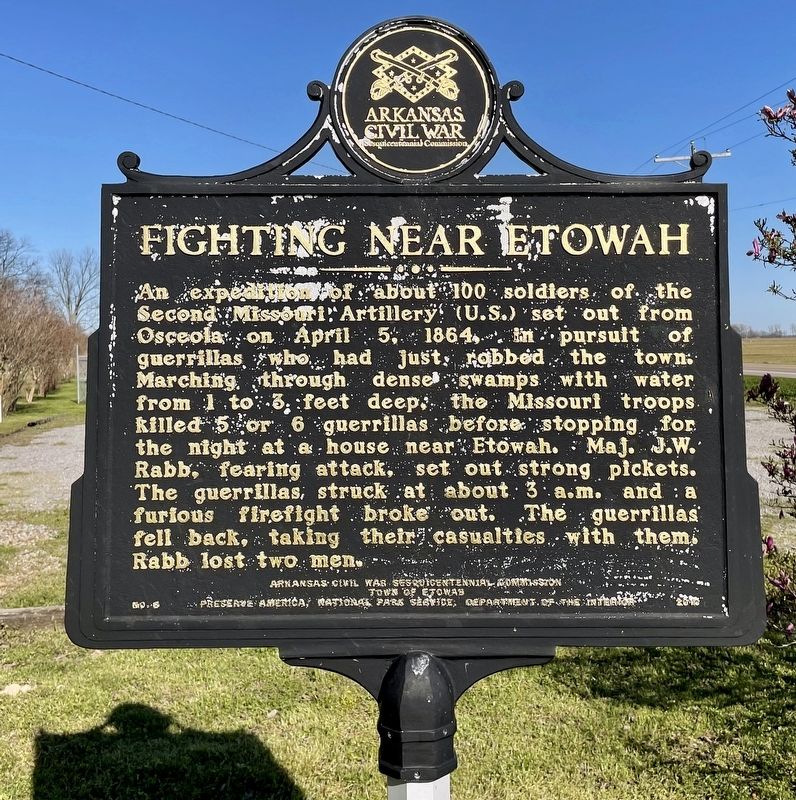
Fighting Near Etowah
Erected 2010 by Arkansas Civil War Sesquicentennial Commission, Town of Etowah, Preserve America, National Park Service, Department of the Interior. (Marker Number 8.)
Topics and series. This historical marker is listed in this topic list: War, US Civil. In addition, it is included in the Arkansas Civil War Sesquicentennial Commission series list. A significant historical date for this entry is April 5, 1864.
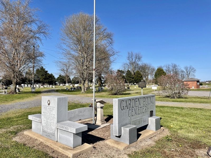
Location. 35° 41.977′ N, 90° 14.365′ W. Marker is in Etowah, Arkansas, in Mississippi County. Marker is on Arkansas Route 140 east of Arkansas Route 136. Located at the Garden Point Cemetery (also known as Three Way Cemetery). Touch for map. Marker is at or near this postal address: 4802 AR-140, Etowah AR 72428, United States of America. Touch for directions.
Other nearby markers. At least 8 other markers are within 8 miles of this marker, measured as the crow flies. Joseph Allen Sisco (a few steps from this marker); Garden Point Cemetery Veterans Memorial (a few steps from this marker); Garden Point Cemetery (a few steps from this marker); Garden Point United Methodist Church (within shouting distance of this marker); Johnny Cash (approx. 7.1 miles away); Community Building (approx. 7˝ miles away); School (approx. 7.6 miles away); Cafe & Shops (approx. 7.7 miles away). Touch for a list and map of all markers in Etowah.
Credits. This page was last revised on April 7, 2021. It was originally submitted on April 7, 2021, by Mark Hilton of Montgomery, Alabama. This page has been viewed 203 times since then and 21 times this year. Photos: 1, 2. submitted on April 7, 2021, by Mark Hilton of Montgomery, Alabama.

