Fort Pierre in Stanley County, South Dakota — The American Midwest (Upper Plains)
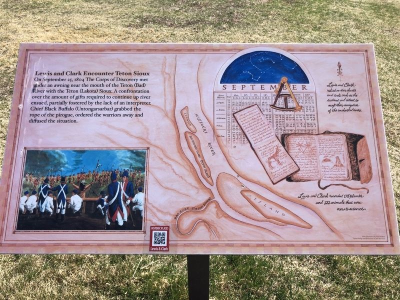
Lewis and Clark Encounter Teton Sioux
[Photo captions]
Lewis and Clark relied on star charts and tools such as the sextant and octant to make their navigation of the uncharted rivers.
Lewis and Clark recorded 178 plants and 122 animals that were new to science.
Topics. This historical marker is listed in these topic lists: Exploration • Native Americans. A significant historical date for this entry is August 25, 1804.
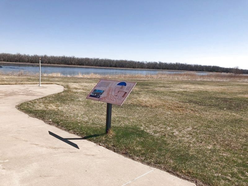
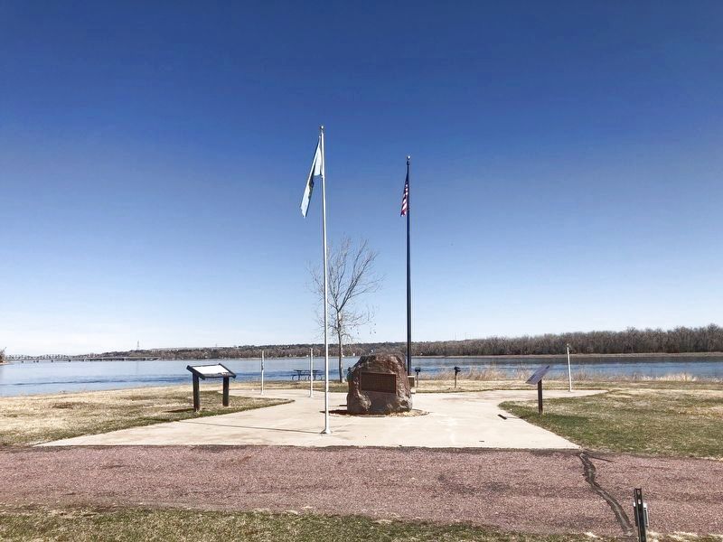
Location. 44° 21.184′ N, 100° 22.093′ W. Marker is in Fort Pierre, South Dakota, in Stanley County. Marker is on 2 Rivers Street. Located in the Fischers Lilly Park. Touch for map. Marker is at or near this postal address: 2 Rivers St, Fort Pierre SD 57532, United States of America. Touch for directions.
Other nearby markers. At least 8 other markers are within walking distance of this marker. Lewis and Clark First Sioux Nation Meeting (here, next to this marker); The Lewis and Clark Expedition (a few steps from this marker); The Fort Pierre Plain (within shouting distance of this marker); Andy's Meat Market (about 800 feet away, measured in a direct line); Stockgrowers Bank (approx. 0.2 miles away); The Stockgrowers Bank of Fort Pierre (approx. 0.2 miles away); Stanley County Jail 1905 (approx. 0.3 miles away); Stanley County Courthouse Veteran's Memorial (approx. 0.3 miles away). Touch for a list and map of all markers in Fort Pierre.
Credits. This page was last revised on April 9, 2021. It was originally submitted on April 8, 2021, by Ruth VanSteenwyk of Aberdeen, South Dakota. This page has been viewed 189 times since then and 26 times this year. Photos: 1, 2, 3. submitted on April 8, 2021, by Ruth VanSteenwyk of Aberdeen, South Dakota. • Mark Hilton was the editor who published this page.


