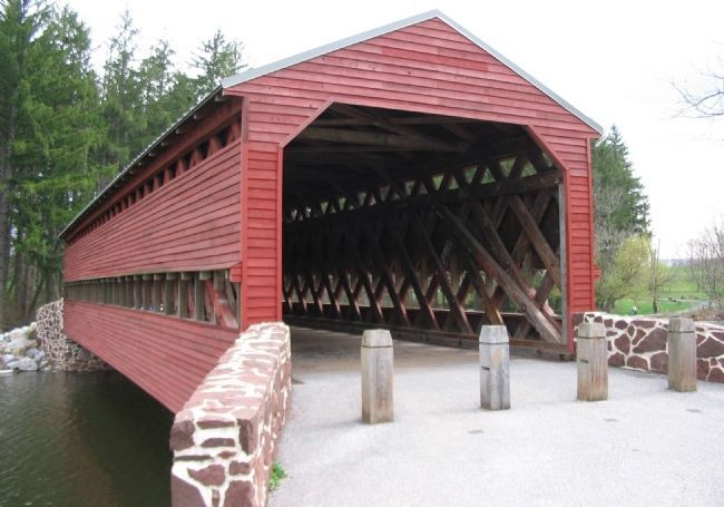
Cumberland Township near Gettysburg in Adams County, Pennsylvania — The American Northeast (Mid-Atlantic)
"…the most historic covered bridge in Pennyslvania…"
Inscription.
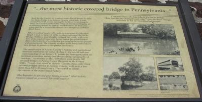
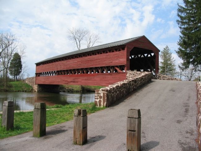
Built for the County by workers under David Stoner in 1852, the Sachs Bridge is an Adams County landmark. It was crossed by both armies during the battle of Gettysburg in 1863, and carried parts of the Army of Northern Virginia as it retreated. Before its 1996-97 rehabilitation, its deck was supported by a truss-lattice based on a design by architect Ithiel Town.
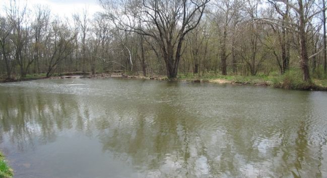
After it washed nearly 100 yards downstream in a flooded Marsh Creek on June 18, 1996, workers salvaged the Sachs Bridge. Within a year it again bridged the creek, with over 90% of its original truss and lattice intact. Its rehabilitation shows the benefits of an effective partnership between people and government. The County worked with many individuals and groups to preserve this part of its history.
The preservation of Adams County's historic and agricultural resources reinforces our sense of place in the world and our understanding of our history. It resists the homogenization so common in modern society and the resulting "geography of nowhere." As recently as the 1930s there were nearly 900 covered bridges in Pennsylvania, the most in the United States. Twenty-four stood in Adams County. Now, only three covered bridges survive in Adams County, with only a few more than 200 in Pennsylvania. They stand as silent documents of the state's rural history.
What keepsakes do you and your family preserve? What historic resources should we preserve? For what reasons?
Erected 1998 by County of Adams.
Topics and series. This historical marker is listed in these topic lists: Bridges & Viaducts • War, US Civil. In addition, it is included in the Covered Bridges series list. A significant historical year for this entry is 1852.
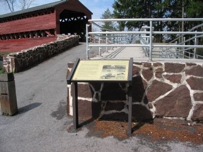
Location. 39° 47.854′ N, 77° 16.553′ W. Marker is near Gettysburg, Pennsylvania, in Adams County. It is in Cumberland Township. Marker can be reached from the intersection of Water Works Road and Pumping Station Road, on the left when traveling south. Water Station Road crosses the bridge, but is closed to vehicle traffic. Parking areas are located on either end of the bridge. Touch for map. Marker is in this post office area: Gettysburg PA 17325, United States of America. Touch for directions.
Other nearby markers. At least 8 other markers are within walking distance of this marker. Sachs Covered Bridge (a few steps from this marker); Civil War Hospital (about 500 feet away, measured in a direct line); a different marker also named Sachs Covered Bridge (approx. 0.2 miles away); John Eisenhower Bridge (approx. 0.4 miles away); The Helicopter Landing Pad (approx. 0.7 miles away); President Eisenhower’s Gettysburg Farm (approx. 0.7 miles away); The Guest House (approx. 0.7 miles away); Guest House Railings (approx. 0.7 miles away). Touch for a list and map of all markers in Gettysburg.
More about this marker. On the right side of the marker is a collection of photographs under the heading: Compare these photographs of the Sachs Bridge. How has the site changed over time? How are these changes reflected in the surrounding landscape? Immediately below the heading is a photograph from June 19, 1996. Swept from its abutments, the bridge rests by the dam downstream. On the lower left of the collection, The 1890s. The Sachs Bridge before the automobile. In the right center The 1930s: Carrying cars between Cumberland and Freedom Townships. And in the lower right 1994: Structural deterioration of a bridge long closed to traffic.
Below the photographs is this attribution: Financial support provided through a Local History Grant from the Pennsylvania Historical and Museum Commission, the County of Adams, and the Gettysburg Battlefield Preservation Association, 1998.
Also see . . . Sach's Covered Bridge. Some additional details about the bridge. (Submitted on June 7, 2008, by Craig Swain of Leesburg, Virginia.)
Credits. This page was last revised on February 7, 2023. It was originally submitted on June 7, 2008, by Craig Swain of Leesburg, Virginia. This page has been viewed 6,774 times since then and 55 times this year. Last updated on April 8, 2021, by Annette Fillmore of York, Pennsylvania. Photos: 1, 2, 3, 4, 5. submitted on June 7, 2008, by Craig Swain of Leesburg, Virginia. • Bill Pfingsten was the editor who published this page.
