Edmond in Oklahoma County, Oklahoma — The American South (West South Central)
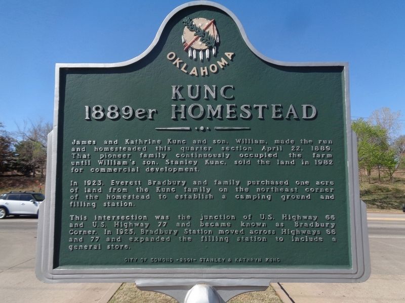
Kunc 1889er Homestead
Photographed by Jason Voigt, April 8, 2021
1. Kunc 1889er Homestead Marker
In 1923, Everett Bradbury and family purchased one acre of land from the Kunc family on the northeast corner of the homestead to establish a camping ground and filling station.
This intersection was the junction of U.S. Highway 66 and U.S. Highway 77 and became known as Bradbury Corner. In 1925, Bradbury Station moved across Highways 66 and 77 and expanded the filling station to include a general store.
Erected 2001 by City of Edmond, Stanley & Kathryn Kunc.
Topics and series. This historical marker is listed in these topic lists: Industry & Commerce • Roads & Vehicles • Settlements & Settlers. In addition, it is included in the U.S. Route 66 series list. A significant historical date for this entry is April 12, 1889.
Location. 35° 39.152′ N, 97° 25.799′ W. Marker is in Edmond, Oklahoma, in Oklahoma County. It is on East 2nd Street (U.S. 77) west of Meline Drive, on the
this page online

Regionally, this marker is in Central Oklahoma — Frontier Country and in Greater Oklahoma City. It is also in the American South, specifically on the prairies, and on the Southern Plains. Globally, it is in North America, the Western Hemisphere, the Western World, and the Anglosphere. Historically, it finds itself in what was once the territory of the Mississippian Culture and also the Louisiana Purchase.
Other nearby markers. At least 8 other markers are within 3 miles of this marker, measured as the crow flies: Old North Tower (approx. 2½ miles away); Shannon Miller Park (approx. 2.6 miles away); Classen's Grove (approx. 2.7 miles away); Kivlehen House (approx. 2.7 miles away); Central State College (approx. 2.7 miles away); Replica of the Statue of Liberty (approx. 2.7 miles away); National Guard Armory (approx. 2.7 miles away); Stephenson Park (approx. 2.7 miles away). Touch for a list and map of all
Photographed by Jason Voigt, April 8, 2021
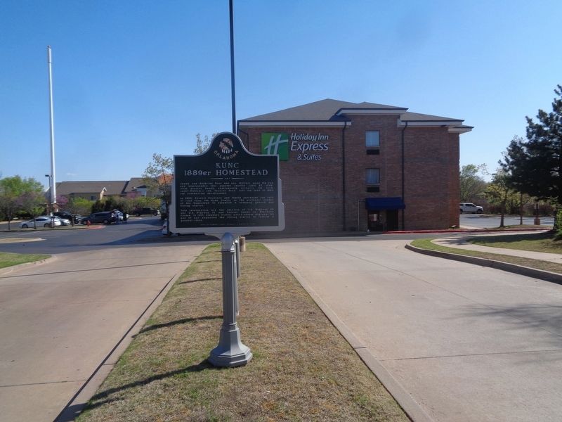
2. Kunc 1889er Homestead Marker
At the entrance of Holiday Inn off US 77
More about this marker. Marker repeats on both sides.
Credits. This page was last revised on April 9, 2021. It was originally submitted on April 9, 2021, by Jason Voigt of Glen Carbon, Illinois. This page has been viewed 713 times since then and 64 times this year. Photos: 1, 2. submitted on April 9, 2021, by Jason Voigt of Glen Carbon, Illinois.
