Columbia in Adair County, Kentucky — The American South (East South Central)
Columbia-Union Presbyterian Church
Photographed by Tom Bosse
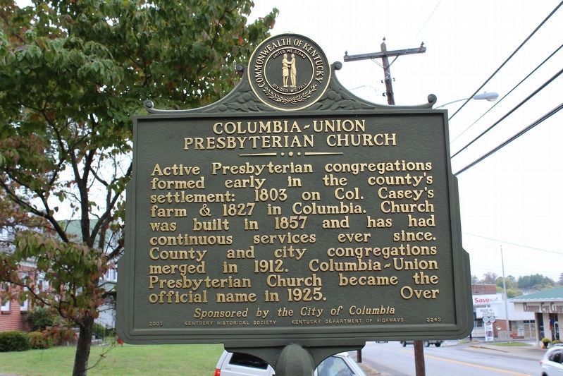
1. Columbia-Union Presyterian Church Marker (Side 1)
Active Presbyterian congregations formed early in the county’s settlement: 1803 on Col. Casey’s farm & 1827 in Columbia. Church was built in 1857 and has had continuous services ever since. County and city congregations merged in 1912. Columbia-Union Presbyterian Church became the official name in 1925. Over
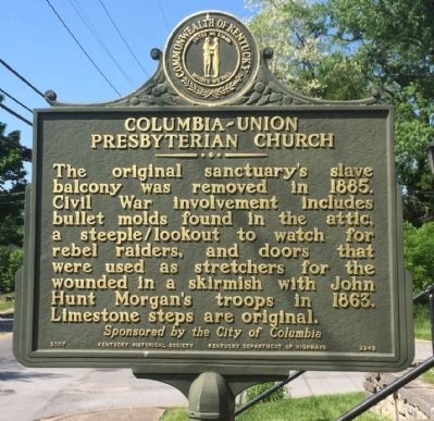
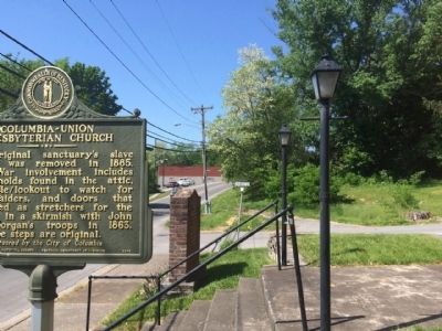
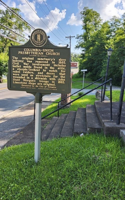
The original sanctuary’s slave balcony was removed in 1885. Civil War involvement includes bullet molds found in the attic, a steeple/ lookout to watch for rebel raiders, and doors that were used as stretchers for the wounded in a skirmish with John Hunt Morgan’s troops in 1863. Limestone steps are original.
Erected 2007 by Kentucky Historical Society and Kentucky Department of Highways. (Marker Number 2243.)
Topics and series. This historical marker is listed in these topic lists: Religion & Religious Structures • War, US Civil. In addition, it is included in the Kentucky Historical Society series list. A significant historical year for this entry is 1803.
Location. 37° 6.072′ N, 85° 18.527′ W. Marker is in Columbia, Kentucky, in Adair County. It is at the intersection
this page online

Regionally, this marker is in the Pennyroyal Region. It is also in the American South and specifically in the Upper South. Globally, it is in North America, the Western Hemisphere, the Western World, and the Anglosphere. Historically, it finds itself in what was once the territory of the Mississippian Culture and also the Antebellum South.
Other nearby markers. At least 8 other markers are within walking distance of this marker: Male and Female High School Site / Student Parking in the 1850s (approx. 0.2 miles away); Adair County World War I Memorial (approx. 0.2 miles away); Adair County Revolutionary War Memorial (approx. 0.2 miles away); Confederate Raids (approx. 0.2 miles away); Jane Lampton Home (approx. 0.2 miles away); Adair County Courthouse (approx. 0.2 miles away); Col. Frank L. Wolford (approx. 0.2 miles away); Home of Sergeant Dakota Meyer (approx.
Photographed by Mark Hilton, May 8, 2015
2. Columbia-Union Presbyterian Church Marker (Side 2)
Another marker is no longer nearby. County Named, 1801 (was approx. 0.2 miles away but has been confirmed missing).
Also see . . . Explore Kentucky History article on church. (Submitted on May 18, 2015, by Mark Hilton of Montgomery, Alabama.)
Photographed by Tom Bosse
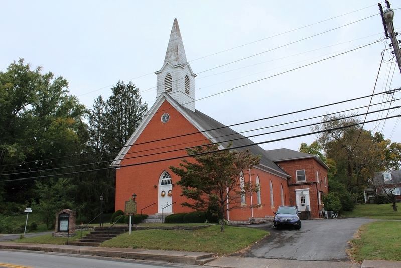
3. Columbia-Union Presyterian Church Marker
Photographed by Mark Hilton, May 8, 2015
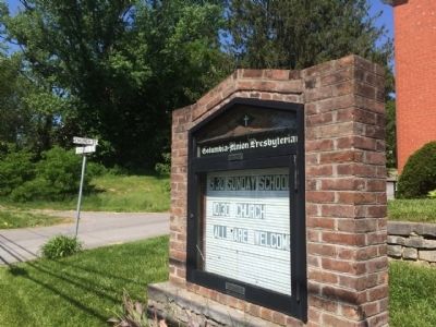
4. Church and street signs near marker.
Photographed by Mark Hilton, May 8, 2015
5. Area photo looking south on Burkesville Street.
Photographed by Richard Hawkins, June 22, 2025
6. Columbia-Union Presbyterian Church Marker
Credits. This page was last revised on June 23, 2025. It was originally submitted on May 18, 2015, by Mark Hilton of Montgomery, Alabama. This page has been viewed 1,054 times since then and 39 times this year. Last updated on April 9, 2021, by Carl Gordon Moore Jr. of North East, Maryland. Photos: 1. submitted on October 18, 2016, by Tom Bosse of Jefferson City, Tennessee. 2. submitted on May 18, 2015, by Mark Hilton of Montgomery, Alabama. 3. submitted on October 18, 2016, by Tom Bosse of Jefferson City, Tennessee. 4, 5. submitted on May 18, 2015, by Mark Hilton of Montgomery, Alabama. 6. submitted on June 22, 2025, by Richard Hawkins of Phelan, California. • Bill Pfingsten was the editor who published this page.
