Scottsville in Allen County, Kentucky — The American South (East South Central)
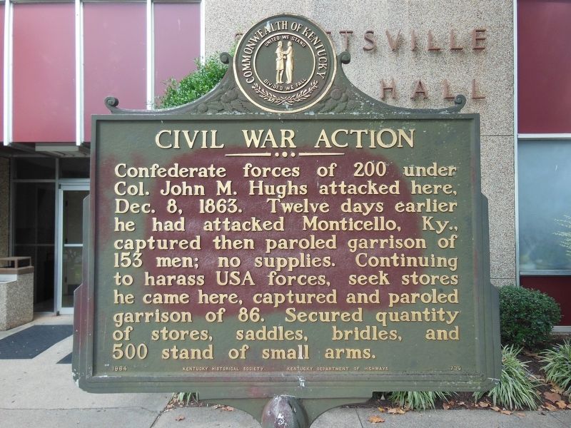
Civil War Action
Erected 1964 by Kentucky Historical Society and Kentucky Department of Highways. (Marker Number 730.)
Topics and series. This historical marker is listed in this topic list: War, US Civil. In addition, it is included in the Kentucky Historical Society series list. A significant historical date for this entry is December 8, 1863.
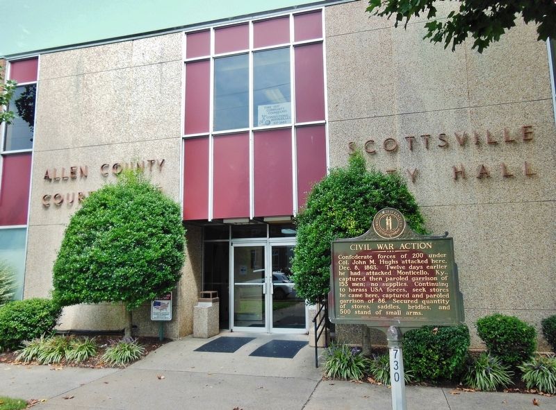
Location. 36° 45.215′ N, 86° 11.508′ W. Marker is in Scottsville, Kentucky, in Allen County. Marker is on West Main Street (Kentucky Route 2152) west of South Cemetery Street, on the right when traveling west. Marker is located on the right (east) side of the sidewalk at the Allen County Courthouse/Scottsville City Hall entrance. Touch for map. Marker is at or near this postal address: 201 West Main Street, Scottsville KY 42164, United States of America. Touch for directions.
Other nearby markers. At least 8 other markers are within walking distance of this marker. County Named, 1815 (here, next to this marker); Jacksonian Hotel (within shouting distance of this marker); Morgan in Scottsville (about 300 feet away, measured in a direct line); Scottsville Public Spring (approx. 0.2 miles away); Scottsville, 1862 (approx. 0.4 miles away); An Army Restored (approx. half a mile away); An Army in Crisis (approx. half a mile away); Lilly’s Artillery (approx. half a mile away). Touch for a list and map of all markers in Scottsville.
Credits. This page was last revised on June 3, 2021. It was originally submitted on March 20, 2019, by Cosmos Mariner of Cape Canaveral, Florida. This page has been viewed 490 times since then and 39 times this year. Last updated on April 9, 2021, by Carl Gordon Moore Jr. of North East, Maryland. Photos: 1, 2. submitted on March 21, 2019, by Cosmos Mariner of Cape Canaveral, Florida. • Bill Pfingsten was the editor who published this page.

