Near Lusk in Niobrara County, Wyoming — The American West (Mountains)
Hat Creek Stage Station
1876 - 1887
Photographed by Barry Swackhamer, June 7, 2016
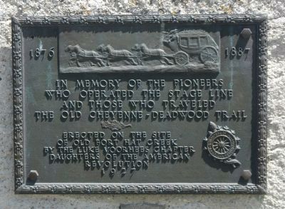
1. Hat Creek Stage Station Marker
In memory of the pioneers who operated the stage line and those who traveled the old Cheyenne-Deadwood Trail
Erected on the site of Old Fort Hat Creek by…
Erected 1927 by Daughters of the American Revolution, Luke Voorhies Chapter.
Topics and series. This historical marker is listed in these topic lists: Communications • Forts and Castles • Roads & Vehicles. In addition, it is included in the Daughters of the American Revolution (DAR) series list. A significant historical year for this entry is 1876.
Location. 42° 55.818′ N, 104° 20.574′ W. Marker is near Lusk, Wyoming, in Niobrara County. It is on Stage Road near Hat Creek Road, on the right when traveling south. Touch for map. Marker is at or near this postal address: 860 Stage Road, Lusk WY 82225, United States of America. Touch for directions.

Regionally, this marker is in Wyoming’s Laramie Basin. It is also in the American Mountain West, on the Great Plains, and specifically on the High Plains. Globally, it is in North America, the Western Hemisphere, the Western World, and the Anglosphere. Historically, it finds itself in what was
this page online
Other nearby markers. At least 8 other markers are within 13 miles of this marker, measured as the crow flies: Along the Cheyenne to Deadwood Stage: Hat Creek Stage Station (approx. 1½ miles away); Redwood Water Tank (approx. 12.7 miles away); a different marker also named Redwood Water Tank (approx. 12.7 miles away); Monuments to Wyoming History (approx. 12.9 miles away); Texas Trail - 1866 - 1897 (approx. 12.9 miles away); Wyoming National Guard Armory (approx. 12.9 miles away); The Lusk House (approx. 12.9 miles away); The Iron Clad Store (approx. 12.9 miles away). Touch for a list and map of all markers in Lusk.
Also see . . . Hat Creek Station - Niobrara County Library. The Hat Creek Stage Station lies below a ridge of pine clad hills (or brakes) that separates the high plain called the Divide and the land at the foot of the hills known as the Hat Creek Valley. The station is on the old stage road which later became Highway 85. In 1875 troops of soldiers were sent from Fort Laramie to establish an outpost on Hat Creek in western Nebraska. Confused, they set up a post on Sage Creek,
Photographed by Barry Swackhamer, June 7, 2016
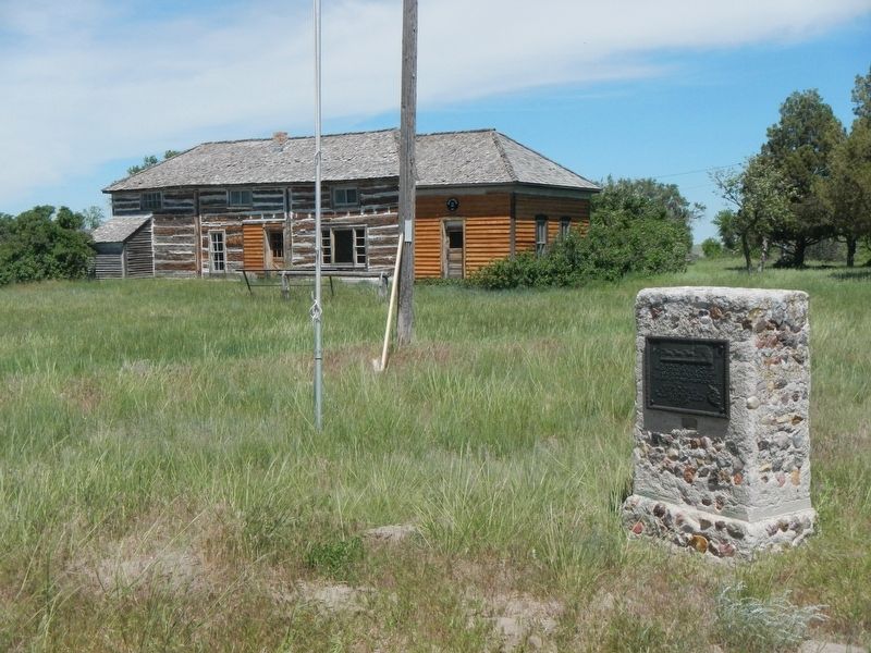
2. Hat Creek Stage Station and Marker
Photographed by Barry Swackhamer, June 7, 2016
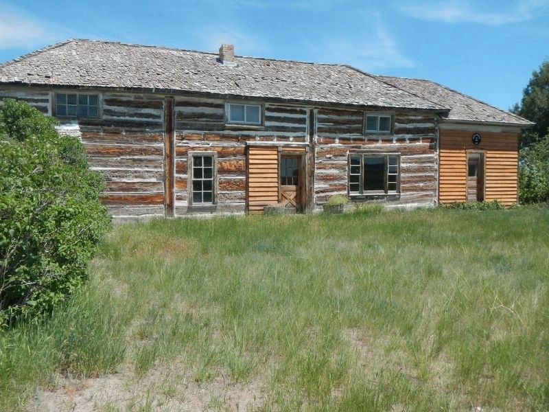
3. Hat Creek Stage Station
Photographed by Barry Swackhamer, June 7, 2016
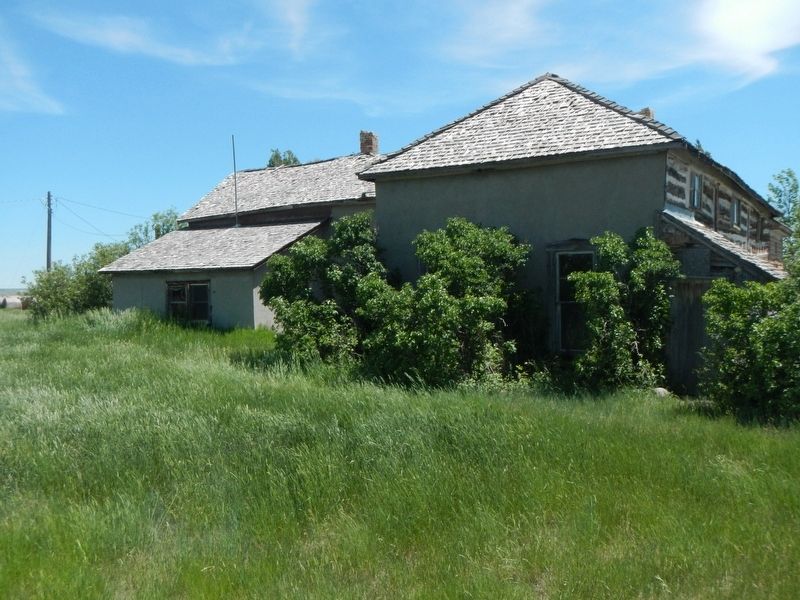
4. Hat Creek Stage Station
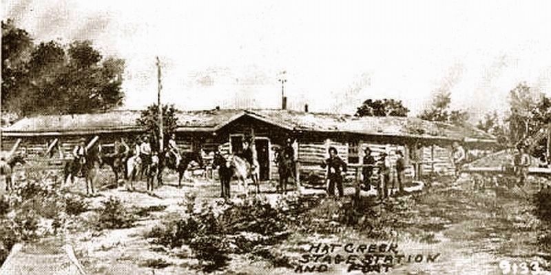
Photographed by Contemporary Photograph, circa 1880
5. Old Hat Creek Stage Station
Credits. This page was last revised on July 26, 2025. It was originally submitted on September 28, 2016, by Barry Swackhamer of Brentwood, California. This page has been viewed 4,752 times since then and 219 times this year. Last updated on April 9, 2021. Photos: 1, 2, 3, 4, 5. submitted on September 28, 2016, by Barry Swackhamer of Brentwood, California. • J. Makali Bruton was the editor who published this page.
