
Katy in Fort Bend County, Texas — The American South (West South Central)
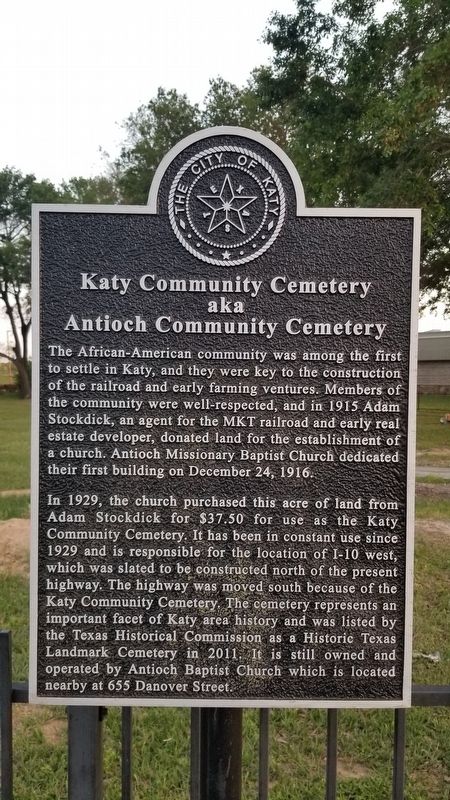
Katy Community Cemetery
aka Antioch Community Cemetery
Photographed by James Hulse, April 4, 2021
1. Katy Community Cemetery Marker
The African-American community was among the first to settle in Katy, and they were key to the construction of the railroad and early farming ventures. Members of the community were well-respected, and in 1915 Adam Stockdick, an agent for the MKT railroad and early real estate developer, donated land for the establishment of a church. Antioch Missionary Baptist Church dedicated their first building on December 24, 1916.
In 1929, the church purchased this acre of land from Adam Stockdick for $37.50 for use as the Katy Community Cemetery. It has been in constant use since 1929 and is responsible for the location of I-10 west, which was slated to be constructed north of the present highway. The highway was moved south because of the Katy Community Cemetery. The cemetery represents an important facet of Katy area history and was listed by the Texas Historical Commission as a Historic Texas Landmark Cemetery in 2011. It is still owned and operated by Antioch Baptist Church which is located nearby at 655 Danover Street.
Erected by The City of Katy.
Topics. This historical marker is listed in these topic lists: African Americans • Cemeteries & Burial Sites. A significant historical date for this entry is December 24, 1916.
Location. 29° 46.735′ N, 95° 49.811′ W. Marker is in Katy, Texas, in Fort Bend County. It is at the intersection of Stockdick Road and Farm to Market Road 1463, on the left when traveling west on Stockdick Road. Touch for map. Marker is in this post office area: Katy TX 77494, United States of America. Touch for directions.

Regionally, this marker is in the Houston Metropolitan Area. It is also on the American Gulf Coast. Globally, it is in North America, a Gulf of Mexico state, the Western Hemisphere, the Western World, and the Anglosphere. Historically, it finds itself in what was once
this page online
Other nearby markers. At least 8 other markers are within walking distance of this marker: First Baptist Church of Katy (approx. 0.7 miles away); The MKT Depot (approx. 0.7 miles away); The City of Katy (approx. ¾ mile away); Dube's Super Market (approx. ¾ mile away); The Romack Home (approx. 0.8 miles away); The Stewart-Lott Home (approx. 0.8 miles away); The Weller-Baird Home (approx. 0.9 miles away); The Old Post Office (approx. 0.9 miles away). Touch for a list and map of all markers in Katy.
Photographed by James Hulse, April 4, 2021
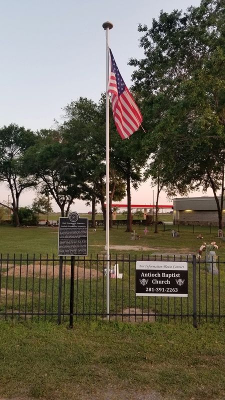
2. Katy Community Cemetery and Marker
Photographed by James Hulse, April 4, 2021
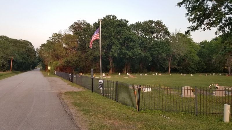
3. The view of the Katy Community Cemetery and marker from the road
Credits. This page was last revised on April 10, 2021. It was originally submitted on April 10, 2021, by James Hulse of Medina, Texas. This page has been viewed 1,011 times since then and 81 times this year. Photos: 1, 2, 3. submitted on April 10, 2021, by James Hulse of Medina, Texas.
