Near Charlottesville in Albemarle County, Virginia — The American South (Mid-Atlantic)
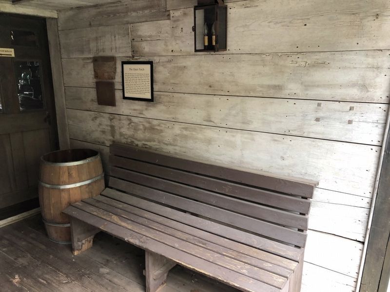
The Open Porch
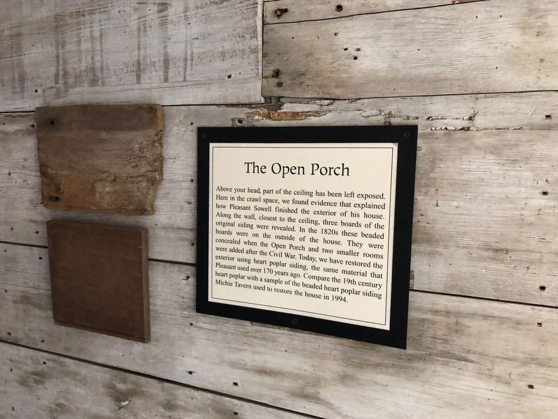
Erected by Michie Tavern.
Topics. This historical marker is listed in these topic lists: Architecture • Natural Resources. A significant historical year for this entry is 1994.
Location. 38° 0.498′ N, 78° 27.849′ W. Marker is near Charlottesville, Virginia, in Albemarle County. It can be reached from Thomas Jefferson Parkway (Virginia Route 53) 0.1 miles east of Michie Tavern Lane ( Route 1102), on the right when traveling east. Touch for map. Marker
this page online

Regionally, this marker is in the Piedmont and in Central Virginia. It is also in the American South and specifically in the Upper South. Globally, it is in North America, the Western Hemisphere, the Western World, and the Anglosphere. Historically, it finds itself in what was once the territory of the Mississippian Culture, one of the original Thirteen Colonies, one of the Confederate States of America, and the Antebellum South.
Other nearby markers. At least 8 other markers are within walking distance of this marker: The Sowell House Floor Plan (here, next to this marker); The Sowell House ca. 1822 (a few steps from this marker); Piney River Cabin ca. 1790 (within shouting distance of this marker); Tobacco Barn ca. 1790 (within shouting distance of this marker); Michie Tavern (within shouting distance of this marker); Historic Michie Tavern (about 300 feet away, measured in a direct line); Meadow Run Grist Mill ca. 1797 (about 400 feet away); The Monticello Graveyard (approx. half
Other markers no longer nearby. Piney River Cabin (was within shouting distance of this marker but has been replaced with another marker now near it); Tobacco Barn ca.1790 (was within shouting distance of this marker but has been replaced with another marker now near it); The Meadow Run Grist Mill (was about 400 feet away but has been replaced with another marker now near it).
Credits. This page was last revised on February 2, 2023. It was originally submitted on April 11, 2021, by Devry Becker Jones of Washington, District of Columbia. This page has been viewed 269 times since then and 17 times this year. Photos: 1, 2. submitted on April 11, 2021, by Devry Becker Jones of Washington, District of Columbia.
