Near Galena in Cherokee County, Kansas — The American Midwest (Upper Plains)
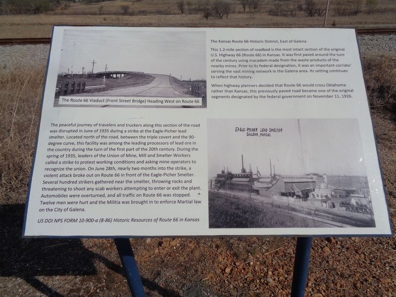
The Kansas Route 66 Historic District, East of Galena
Inscription.
This 1.2-mile section of roadbed is the most intact section of the original U.S. Highway 66 (Route 66) in Kansas. It was first paved around the turn of the century using macadam made from the waste products of the nearby mines. Prior to its federal designation, it was an important corridor serving the vast mining network in the Galena area. Its setting continues to reflect that history.
When highway planners decided that Route 66 would cross Oklahoma rather than Kansas, this previously paved road became one of the original segments designated by the federal government on November 11, 1926.
The peaceful journey of travelers and truckers along this section of the road was disrupted in June of 1935 during a strike at the Eagle-Picher lead smelter. Located north of the road, between the triple covert and the 90-degree curve, this facility was among the leading processors of lead ore in the country during the turn of the first part of the 20th century. During the spring of 1935, leaders of the Union of Mine, Mill and Shelter Workers called a strike to protest working conditions and asking mine operators to recognize the union. On June 28th, nearly two months into the strike, a violent attack broke out on Route 66 in front of the Eagle-Picher Smelter. Several hundred strikers gathered near the smelter, throwing rocks and threatening to shoot any scab workers attempting to enter or exit the plant. Automobiles were overturned, and all traffic on Route 66 was stopped. Twelve men were hurt and the Militia was brought in to enforce Martial law on the City of Galena.
Topics and series. This historical marker is listed in these topic lists: Industry & Commerce • Labor Unions • Roads & Vehicles. In addition, it is included in the U.S. Route 66 series list. A significant historical month for this entry is November 1926.
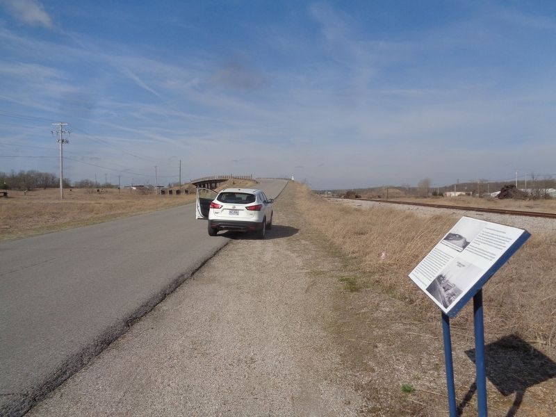
Location. 37° 4.971′ N, 94° 38.066′ W. Marker is near Galena, Kansas, in Cherokee County. Marker is on Front Street (Old U.S. 66) 0.3 miles east of Joplin Street, on the right when traveling west. Marker is on a roadside pullout east of Galena and west of the Missouri/Kansas border. Touch for map. Marker is at or near this postal address: 699-523 Front St, Galena KS 66739, United States of America. Touch for directions.
Other nearby markers. At least 8 other markers are within 3 miles of this marker, measured as the crow flies. Route 66 Howard 'Pappy' Litch Park (approx. half a mile away); Galena, Kansas (approx. half a mile away); Galena Growth And Change (approx. 0.6 miles away); Galena Chamber of Commerce, Galena, Kansas (approx. 0.6 miles away); Welcome To Galena (approx. 0.6 miles away); Mining And Its Impacts (approx. 0.6 miles away); War Memorial
(approx. 0.7 miles away); The Kansas Ozarks (approx. 2.8 miles away). Touch for a list and map of all markers in Galena.
Credits. This page was last revised on April 11, 2021. It was originally submitted on April 11, 2021, by Jason Voigt of Glen Carbon, Illinois. This page has been viewed 233 times since then and 25 times this year. Photos: 1, 2. submitted on April 11, 2021, by Jason Voigt of Glen Carbon, Illinois.

