Fort Wayne in Allen County, Indiana — The American Midwest (Great Lakes)
The Fur Traders and the Military at Fort Wayne
Inscription.
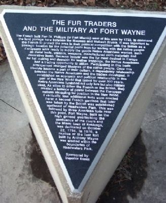
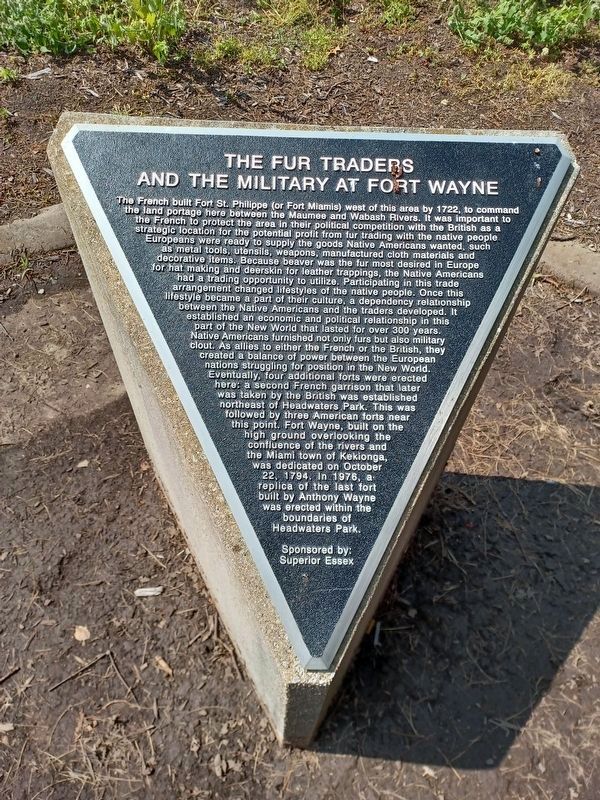
The French built Fort St. Philippe (Fort Miamis) west of this area by 1722, to command the land portage here between the Maumee and Wabash Rivers. It was important to the French to protect the area in their political competition with the British as a strategic location for the potential profit from fur trading with the native people Europeans were ready to supply the goods Native Americans wanted, such as metal tools, utensils, weapons, manufactured cloth materials and decorative items. Because beaver was the fur most desired in Europe for hat making and deerskin for leather trappings, the Native Americans had a trading opportunity to utilize. Participating in this trade arrangement changed lifestyles of the native people. Once this lifestyle became a part of their culture, a dependency relationship between the Native Americans and the traders developed. It established an economic and political relationship in this part of the New World that lasted for over 300 years. Native Americans furnished not only furs but also military clout. As allies to either the French or the British, they created a balance of power between the European nations struggling for position in the New World. Eventually, four additional forts were erected here: a second French garrison that later was taken by the British was established northeast of Headwaters Park.
This was followed by three American forts near this point. Fort Wayne, built on the high ground overlooking the confluence of the rivers and the Miami town of Kekionga, was dedicated on October 22, 1794. In 1976, a replica of the last fort built by Anthony Wayne was erected within the boundaries of Headwaters Park.
Erected by City of Fort Wayne and Superior Essex.
Topics. This historical marker is listed in these topic lists: Colonial Era • Forts and Castles • Industry & Commerce • Waterways & Vessels. A significant historical month for this entry is October 1815.
Location. 41° 5.109′ N, 85° 8.312′ W. Marker is in Fort Wayne, Indiana, in Allen County. Marker is one of a series that ring the Great Meadow in Headwaters Park, 333 S. Clinton Street. This marker is about 100 feet east of the Fountain Plaza. Touch for map. Marker is in this post office area: Fort Wayne IN 46802, United States of America. Touch for directions.
Other nearby markers. At least 8 other markers are within walking distance of this marker. First Americans (within shouting distance of this marker); Miami Legend of the Sandhill Crane (within shouting distance of this marker); Little Turtle (within shouting distance of this marker); Early Masonic Lodge (within shouting distance of this marker); Headwaters Park (within shouting distance of this marker); Early Effort To Build A Park
(within shouting distance of this marker); Flood Retention Walls (about 300 feet away, measured in a direct line); The Wabash & Erie Canal (about 300 feet away). Touch for a list and map of all markers in Fort Wayne.
Also see . . . Historic Old Fort Wayne. (Submitted on March 17, 2009, by William Fischer, Jr. of Scranton, Pennsylvania.)

Photographed By William Fischer, Jr., December 30, 2008
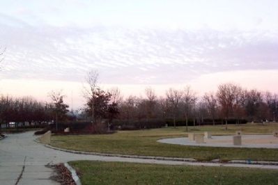
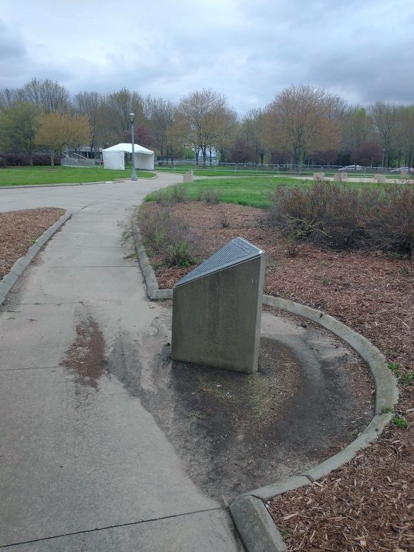
4. Great Meadow in Headwaters Park
Several markers along path circling the Great Meadow, looking north with Clinton Street on the extreme left and the Hamilton Women Plaza on extreme distant right of photo. Fountain Plaza area is in right foreground.
Credits. This page was last revised on August 31, 2023. It was originally submitted on March 15, 2009, by William Fischer, Jr. of Scranton, Pennsylvania. This page has been viewed 2,237 times since then and 45 times this year. Photos: 1. submitted on March 15, 2009, by William Fischer, Jr. of Scranton, Pennsylvania. 2. submitted on August 21, 2023, by Joel Seewald of Madison Heights, Michigan. 3. submitted on May 3, 2022, by Craig Doda of Napoleon, Ohio. 4. submitted on March 15, 2009, by William Fischer, Jr. of Scranton, Pennsylvania. • Bill Pfingsten was the editor who published this page.


