Downtown Springfield in Greene County, Missouri — The American Midwest (Upper Plains)
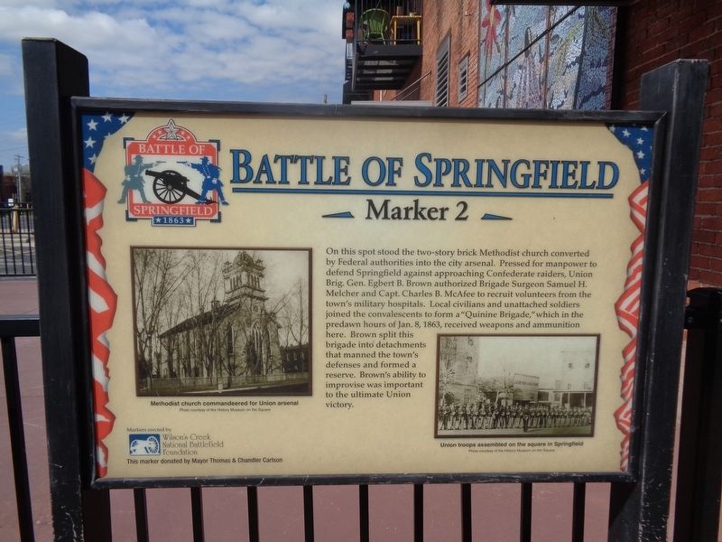
Battle of Springfield
Erected by Wilson's Creek National Battlefield Foundation, marker donated by Mayor Thomas & Chandler Carlson. (Marker Number 2.)
Topics and series. This historical marker is listed in these topic lists: Churches & Religion • War, US Civil. In addition, it is included in the Missouri, Battle of Springfield series list. A significant historical date for this entry is January 8, 1863.
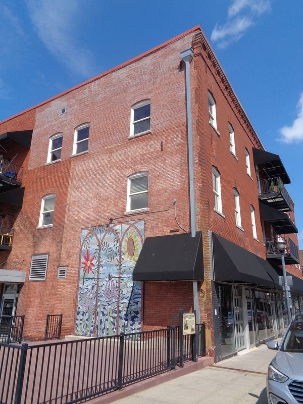
Location. 37° 12.404′ N, 93° 17.547′ W. Marker is in Springfield, Missouri, in Greene County. It is in Downtown Springfield. Marker is on South Avenue north of North Walnut Street , on the left when traveling north. Touch for map. Marker is at or near this postal address: 401 South Ave, Springfield MO 65806, United States of America. Touch for directions.
Other nearby markers. At least 8 other markers are within walking distance of this marker. The Landers Theatre (about 500 feet away, measured in a direct line); Wild Bill's Shootout (about 700 feet away); First Post Office in Springfield (about 700 feet away); Lynching in America / The Lynchings of Horace B. Duncan, Fred Coker and William Allen (about 700 feet away); 1971 Tumbler (about 700 feet away); a different marker also named Battle of Springfield (about 800 feet away); Three Black Men Lynched (about 800 feet away); History of Springfield Public Square (about 800 feet away). Touch for a list and map of all markers in Springfield.
Credits. This page was last revised on February 16, 2023. It was originally submitted on April 12, 2021, by Jason Voigt of Glen Carbon, Illinois. This page has been viewed 176 times since then and 26 times this year. Photos: 1, 2. submitted on April 12, 2021, by Jason Voigt of Glen Carbon, Illinois.

