Lakeside in Ottawa County, Ohio — The American Midwest (Great Lakes)
Lockwood
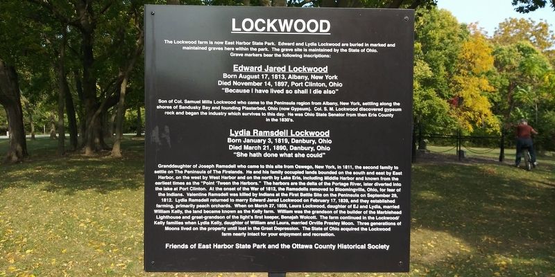
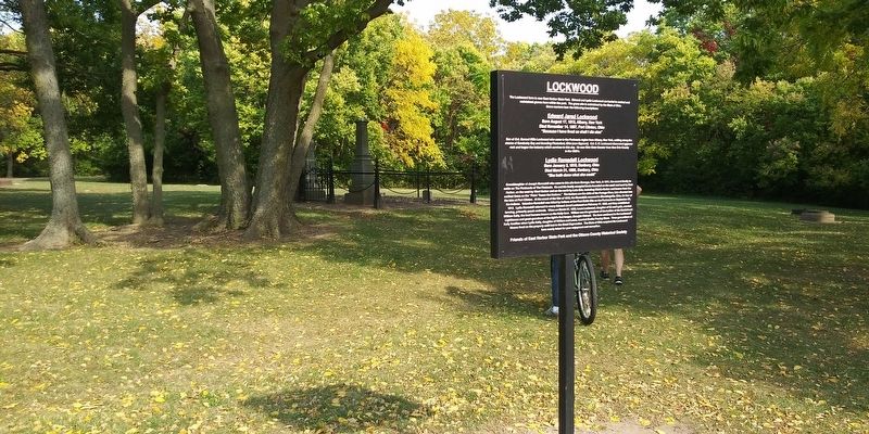
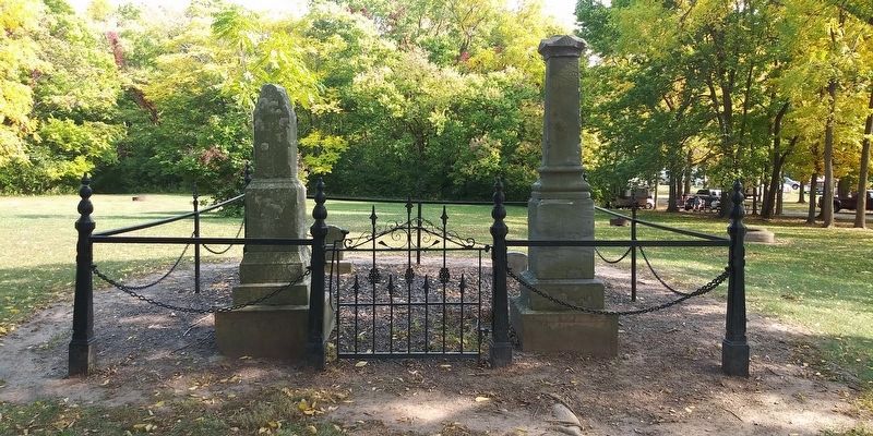
The Lockwood farm is now East Harbor State Park. Edward and Lydia Lockwood are buried in marked and maintained graves here within the park. The grave site is maintained by the State of Ohio. Grave markers bear the following inscriptions:
Born August 17, 1813, Albany, New York
Died November 14, 1897, Port Clinton, Ohio
"Because I have lived so shall I die also"
Son of Col. Samuel Mills Lockwood who came to the Peninsula region from Albany, New York, settling along the shores of Sandusky Bay and founding Plasterbed, Ohio (now Gypsum). Col. S. M. Lockwood discovered gypsum rock and began the industry which survives to this day. He was Ohio State Senator from then Erie County in the 1830's.
Born January 3, 1819, Danbury, Ohio
Died March 21, 1890, Danbury, Ohio
"She hath done what she could"
Granddaughter of Joseph Ramsdell who came to this site from Oswego, New York, in 1811, the second family to settle on The Peninsula of The Firelands. He and his family occupied lands bounded on the south and east by East Harbor, on the west by West Harbor and on the north by Lake Erie, including Middle Harbor and known from the earliest times as the "Point 'Tween the Harbors.” The harbors are the delta of the Portage River, later diverted into the lake at Port Clinton. At the onset of the War of 1812, the Ramsdells removed to Bloomingville, Ohio, for fear of the Indians. Valentine Ramsdell was killed by Indians at the First Battle Site on the Peninsula on September 29, 1812. Lydia Ramsdell returned to marry Edward Jared Lockwood on February 17, 1839, and they established farming, primarily peach orchards. When on March 27, 1859, Laura Lockwood, daughter of EJ and Lydia, married William Kelly, the land became known as the Kelly farm. William was the grandson of the builder of the Marblehead Lighthouse and great-grandson of the light's first keeper, Benajah Wolcott. The farm continued in the Lockwood/ Kelly families when Lydia Kelly, daughter of William and Laura, married Orville Presley Moon. Three generations of Moons lived on the property until lost in the Great Depression. The State of Ohio acquired the Lockwood farm nearly intact for your enjoyment and recreation.
Erected by Friends of East Harbor State Park and the Ottawa County Historical Society.
Topics. This historical marker is listed in these topic lists: Cemeteries & Burial Sites • Parks & Recreational Areas • Settlements & Settlers. A significant historical date for this entry is January 3, 1819.
Location. 41° 32.612′ N, 82° 48.98′ W. Marker is in Lakeside, Ohio, in Ottawa County. Marker can be reached from East Harbor State Park Road, half a mile Ohio Route 269, on the right when traveling east. Touch for map. Marker is in this post office area: Lakeside Marblehead OH 43440, United States of America. Touch for directions.
Other nearby markers. At least 8 other markers are within 4 miles of this marker, measured as the crow flies. Veterans Memorial (approx. 1.8 miles away); Boundary Marker (approx. 3 miles away); Danbury Township Veterans Memorial (approx. 3.3 miles away); Lakeside (approx. 3.4 miles away); a different marker also named Lakeside (approx. 3.4 miles away); Danbury Township World War Veterans Memorial (approx. 3.4 miles away); The Fire of October 20, 1929 / The Lakeside Volunteer Fire Protective Association (approx. 3.4 miles away); Hoover Potato Digger & Lakeside (approx. 3.4 miles away). Touch for a list and map of all markers in Lakeside.
Credits. This page was last revised on January 17, 2022. It was originally submitted on April 12, 2021, by Craig Doda of Napoleon, Ohio. This page has been viewed 249 times since then and 33 times this year. Photos: 1, 2, 3. submitted on April 12, 2021, by Craig Doda of Napoleon, Ohio. • Devry Becker Jones was the editor who published this page.


