Downtown Springfield in Greene County, Missouri — The American Midwest (Upper Plains)
Yellow Bonnet Girl
Photographed by Jason Voigt, April 5, 2021
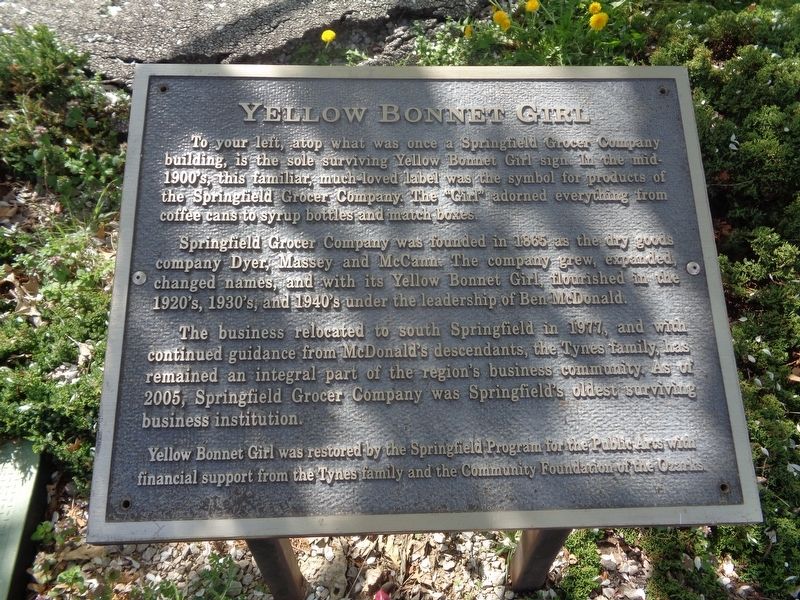
1. Yellow Bonnet Girl Marker
Springfield Grocer Company was founded in 1865 as the dry goods company Dyer, Massey and McCann. The company grew, expanded, changed names, and with its Yellow Bonnet Girl, flourished in the 1920's, 1930's, and 1940's under the leadership of Ben McDonald.
The business relocated to south Springfield in 1977, and with continued guidance from McDonald's descendants, the Tynes family, has remained an integral part of the region's business community. As of 2005, Springfield Grocer Company was Springfield's oldest surviving business institution.
Yellow Bonnet Girl was restored by the Springfield Program for the Public Area with financial support from the Tynes family and the Community Foundation of the Ozarks.
Topics. This historical marker is listed in these topic lists: Industry & Commerce • Women. A significant historical year for this entry is 1865.
Location. 37° 12.647′ N,
this page online

Regionally, this marker is in the American Ozarks, in the Lewis & Clark Corridor, and in the Corn Belt. Globally, it is in North America, the Western Hemisphere, the Western World, and the Anglosphere. Historically, it finds itself in what was once the territory of the Mississippian Culture, the Louisiana Purchase, and the Antebellum South.
Other nearby markers. At least 8 other markers are within walking distance of this marker: Butterfield Overland Stage (about 700 feet away, measured in a direct line); Here Dave Tutt Fell (about 700 feet away); Dedicated to the Loving Memory of Dr. R. Fred Schweitzer (about 800 feet away); 1971 Tumbler (approx. 0.2 miles away); Wild Bill's Shootout (approx. 0.2 miles away); History of Springfield Public Square
Photographed by Jason Voigt, April 5, 2021
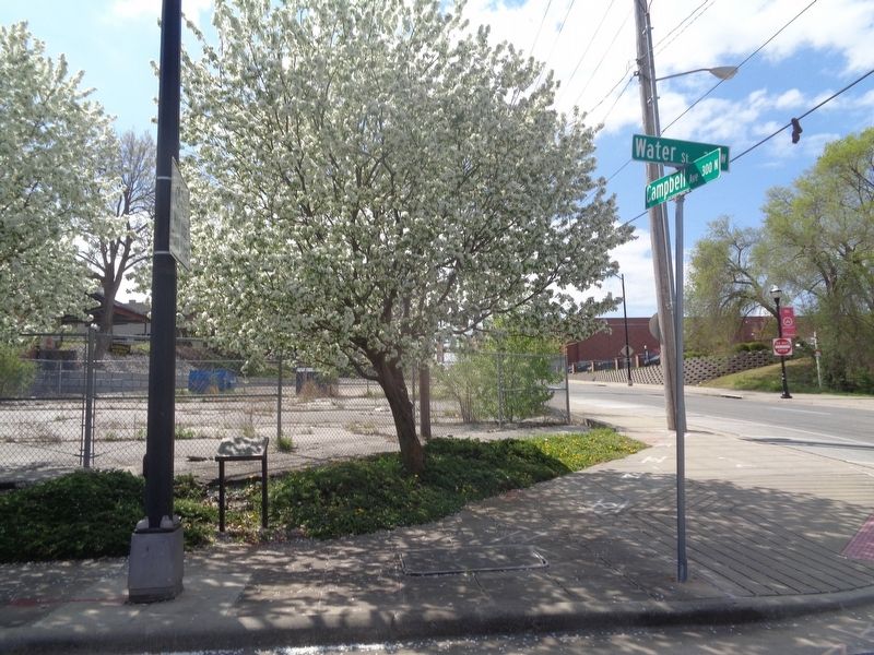
2. Yellow Bonnet Girl Marker
Photographed by Duane and Tracy Marsteller, June 29, 2024
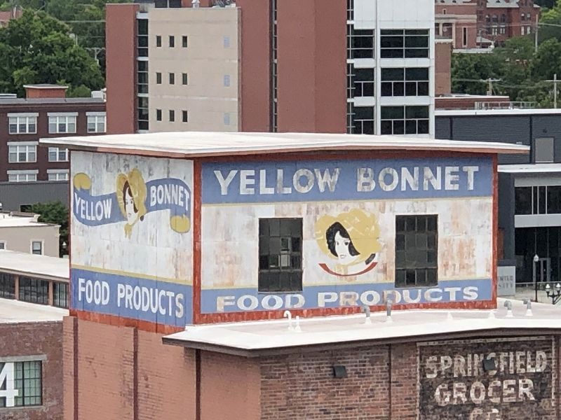
3. Yellow Bonnet Girl signs
Credits. This page was last revised on July 18, 2024. It was originally submitted on April 12, 2021, by Jason Voigt of Glen Carbon, Illinois. This page has been viewed 1,036 times since then and 65 times this year. Photos: 1, 2. submitted on April 12, 2021, by Jason Voigt of Glen Carbon, Illinois. 3. submitted on July 15, 2024, by Duane and Tracy Marsteller of Murfreesboro, Tennessee.
