Kyrock
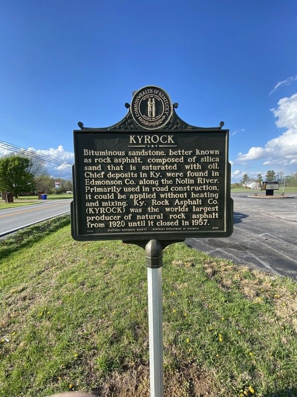
Bituminous sandstone, better known as rock asphalt, composed of silica sand that is saturated with oil. Chief deposits in Ky. were found in Edmonson Co. along the Nolin River. Primarily used in road construction, it could be applied without heating and mixing. Ky. Rock Asphalt Co. (KYROCK) was the world's largest producer of natural rock asphalt from 1920 until it closed in 1957.
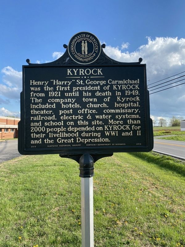
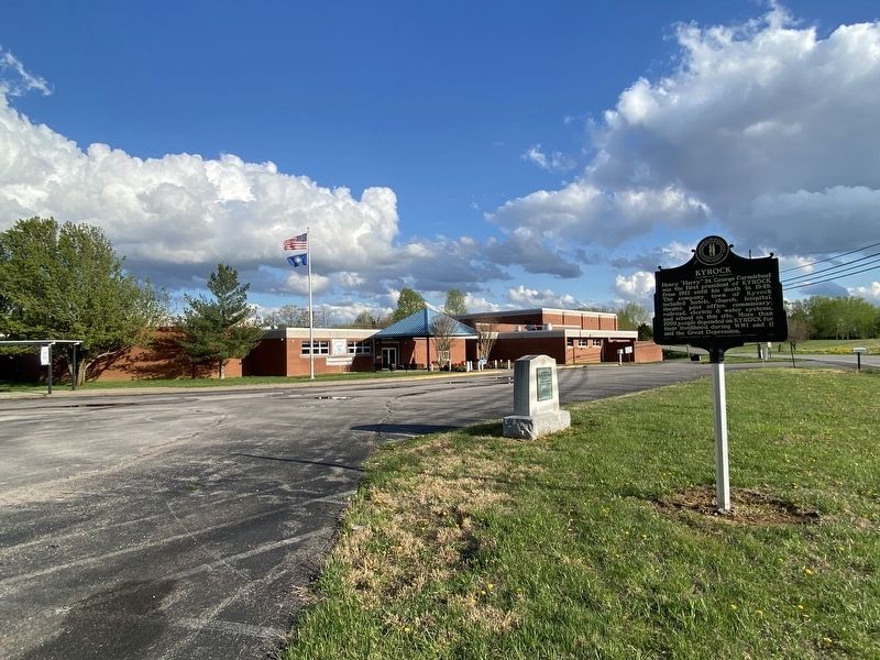
Henry "Harry” St. George Carmichael was the first president of KYROCK from 1921 until his death in 1949. The company town of Kyrock included hotels, church, hospital, theater, post office, commissary, railroad, electric & water systems, and school on this site. More than 2000 people depended on KYROCK for their livelihood during WWI and II and the Great Depression.
Erected 2013 by Kentucky Historical Society and Kentucky Department of Highways. (Marker Number 2415.)
Topics and series. This historical marker is listed in these topic lists: Industry & Commerce • Natural Resources • Roads & Vehicles. In addition, it is included in the Kentucky Historical Society series list. A significant historical year for this entry is 1920.
Location. 37° 15.617′ N, 86° 17.07′
Other nearby markers. At least 8 other markers are within 5 miles of this marker, measured as the crow flies. Nolin Dam at Work (approx. 2.3 miles away); In Honor of Sgt Pleas P. Sanders (approx. 4.7 miles away); Brownsville (approx. 4.7 miles away); Edmonson County Veterans Memorial (approx. 4.7 miles away); County Named, 1825 (approx. 4.7 miles away); Civil War Skirmish (approx. 4.7 miles away); Historic Entrance (approx. 4.7 miles away); Nolin River Lake History (approx. 4.7 miles away).
Additional commentary.
1.
Mr. Carmichael was not, nor never, the president of Kentucky Rock Company. He was the superintendent until his death in 1949.
Credits. This page was last revised on October 20, 2023. It was originally submitted on April 12, 2021, by Darren Jefferson Clay of Duluth, Georgia. This page has been viewed 490 times since then and 53 times this year. Photos: 1, 2, 3. submitted on April 12, 2021, by Darren Jefferson Clay of Duluth, Georgia. • Devry Becker Jones was the editor who published this page.


