Gaithersburg in Montgomery County, Maryland — The American Northeast (Mid-Atlantic)
Gaithersburg
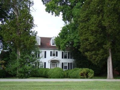
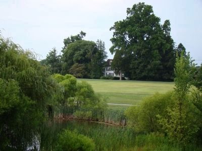
Summit Hall Farm
— Gettysburg Campaign —
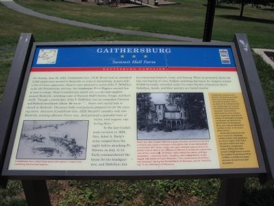
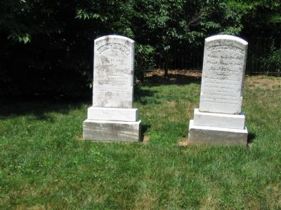
In the last Confederate invasion in 1864, Gen. Jubal A. Early’s army camped here the night before attacking Ft. Stevens on July 11-12. Early commandeered the house for his headquarters, and DeSellum lost his remaining livestock, crops, and fencing. When he protested, Early left him two barrels of corn. Soldiers searching the house for weapons missed $3,000 hurriedly concealed under his sister Sarah’s voluminous skirts. DeSellum, Sarah, and their parents are buried nearby.
(sidebar) Confederate resources were limited. Cavalrymen provided their own horses and tack, receiving horseshoes, feed, a per diem of 40 cents per horse, and compensation if a mount was killed (none if injured or captured). Units became undermanned when troopers left to search for replacement mounts. As shortages increased, cavalrymen cut hooves from dead horses for horseshoes. Many men impoverished their families to stay in the prestigious cavalry.
Union quartermasters had more resources, deploying rations, horses, and equipment by rail or wagon. Still, Federals and Confederates stole livestock to supplement rations. While both sides issued reimbursement receipts for supplies requisitioned from civilians, Confederate money was soon shunned and gold demanded.
Erected by Maryland Civil War Trails.
Topics and series. This historical marker is listed in this topic list: War, US Civil. In addition, it is included in the Maryland Civil War Trails series list. A significant historical date for this entry is June 28, 1738.
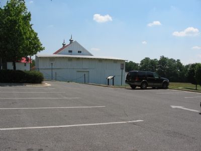
Location. 39° 7.997′ N, 77° 11.556′ W. Marker is in Gaithersburg, Maryland, in Montgomery County. Marker can be reached from South Frederick Ave (Route 355) just north of Fairbanks Drive, on the left when traveling north. Inside the Bohrer Park at Summit Hall Farm. Touch for map. Marker
is at or near this postal address: 506 South Frederick Avenue, Gaithersburg MD 20877, United States of America. Touch for directions.
Other nearby markers. At least 8 other markers are within walking distance of this marker. Summit Hall Farm Smokehouse (within shouting distance of this marker); Summit Hall Farm (within shouting distance of this marker); DeSellum Family Cemetery (approx. 0.2 miles away); General Edward Braddock (approx. 0.4 miles away); History and Purpose of the Gaithersburg Latitude Observatory (approx. 0.4 miles away); Meridian Mark Pier and Geodetic Survey Monuments (approx. 0.4 miles away); The Observatory (approx. 0.4 miles away); A Night at the Gaithersburg Latitude Observatory (approx. 0.4 miles away). Touch for a list and map of all markers in Gaithersburg.
More about this marker. The marker has two pictures. On the left is a drawing depicting action during the war captioned, “Confederates route a small Union guard and capture a wagon train containing much-needed supplies.”
On the right is a photograph of Summit Hall, “Built circa 1813, Summit Hall was a plain, two-story structure in the Federal style with massive chimneys at the gable ends. It was substantially renovated in 1887 (shown above) and again changed appearances to the present look in 1937. At an elevation of 500 feet, it commands a panoramic view of the countryside. DeSellum ‘daily beheld the smoke, and hazy atmosphere—caused by battle, campfires, and conflagrations’ in the August 1862 Battle of Cedar Mountain. ‘The reverberation of artillery was incessant’ during the Second Battle of Manassas, and he ‘heard firing’ in the 1864 Battle of Monocacy.”
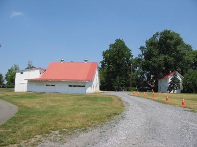
Regarding Gaithersburg. The Summit Hall house does stand adjacent to the park grounds, but is not open to the public.
Additional commentary.
1. Quotations from John T. DeSellum
It is rather intriguing the record of hearing battle related noises from these great distances. While the sound from the Battle of Monocacy is quite possible, it being only 20 miles away, the Second Manassas battlefield is nearly 40 miles distant across the Potomac. Cedar Mountain is further at nearly 80 miles away.
— Submitted July 15, 2007, by Craig Swain of Leesburg, Virginia.
Credits. This page was last revised on September 22, 2019. It was originally submitted on July 15, 2007, by Craig Swain of Leesburg, Virginia. This page has been viewed 2,579 times since then and 107 times this year. Photos: 1, 2, 3, 4. submitted on July 15, 2007, by Craig Swain of Leesburg, Virginia. 5, 6. submitted on July 26, 2009, by J. J. Prats of Powell, Ohio. • J. J. Prats was the editor who published this page.
