Near Resaca in Gordon County, Georgia — The American South (South Atlantic)
Resaca Battlefield State Historic Site
Photographed by Duane and Tracy Marsteller, April 11, 2021
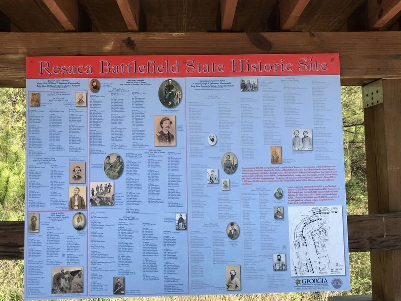
1. Resaca Battlefield State Historic Site Marker
Union regiments numbered about 328 at the Battle of Resaca — Confederate regiments about 257. None were at full strength; yet, this battlefield was crowded with men fighting for their cause. Those killed numbered about 6,000. Wounded numbered over 30,000. Those pictured on this panel are believed to have fought at Resaca. Some died on this battlefield.
Erected by Georgia Department of Natural Resources - State Parks and Historic Sites.
Topics. This historical marker is listed in this
this page online
Location. 34° 35.207′ N, 84° 57.309′ W. Marker is near Resaca, Georgia, in Gordon County. It can be reached from Resaca Lafayette Road Northwest (Georgia Route 136). Marker is at southern Red Battlefield Trailhead along entrance road to Resaca Battlefield State Historic Site. Touch for map. Marker is at or near this postal address: 6 GA-136, Resaca GA 30735, United States of America. Touch for directions.

Regionally, this marker is in the Mountains. It is also in the American South, specifically in the Deep South, in Appalachia, and specifically in Southern Appalachia. Globally, it is in North America, the Western Hemisphere, the Western World, and the Anglosphere. Historically, it finds itself in what was once the original Cherokee Nation, the territory of the Mississippian Culture, one of the original Thirteen Colonies, one of the Confederate States of America, and the Antebellum South.
Other nearby markers. At least 8 other markers are within walking distance of this marker: A different marker also named Resaca Battlefield State Historic Site (here,
Photographed by Duane and Tracy Marsteller, April 11, 2021
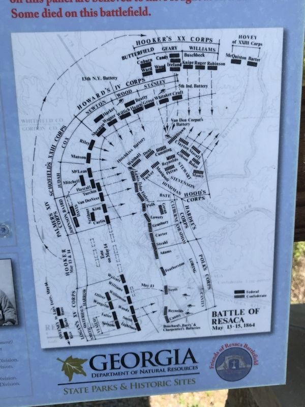
2. Resaca Battlefield State Historic Site Marker Detail
Battle map.
Also see . . . Order of Battle Marker Details. Photo bucket of 10 images from marker detailing the order of battle at Resaca. (Submitted on April 16, 2021, by Duane and Tracy Marsteller of Murfreesboro, Tennessee.)
Photographed by Duane and Tracy Marsteller, April 11, 2021
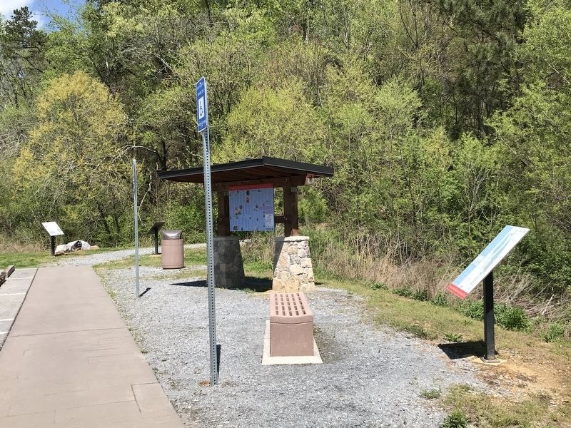
3. Resaca Battlefield State Historic Site Marker
Credits. This page was last revised on April 16, 2021. It was originally submitted on April 14, 2021, by Duane and Tracy Marsteller of Murfreesboro, Tennessee. This page has been viewed 562 times since then and 60 times this year. Photos: 1. submitted on April 14, 2021, by Duane and Tracy Marsteller of Murfreesboro, Tennessee. 2. submitted on April 16, 2021, by Duane and Tracy Marsteller of Murfreesboro, Tennessee. 3. submitted on April 14, 2021, by Duane and Tracy Marsteller of Murfreesboro, Tennessee.
