Near Baxter Springs in Cherokee County, Kansas — The American Midwest (Upper Plains)
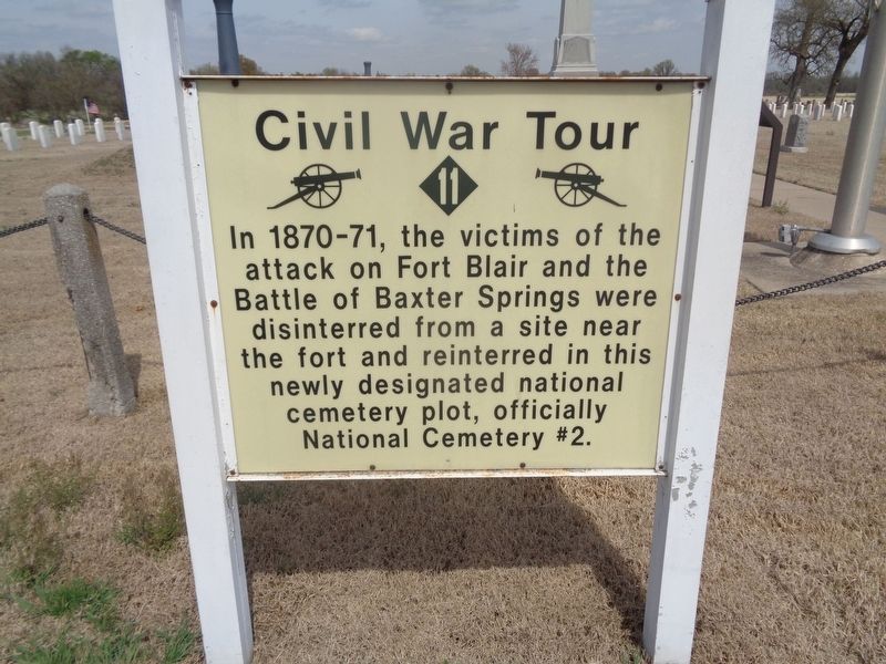
Civil War Tour
Topics and series. This historical marker is listed in these topic lists: Cemeteries & Burial Sites • War, US Civil. In addition, it is included in the Kansas, Baxter Springs Civil War Tour, and the National Cemeteries series lists. A significant historical year for this entry is 1870.
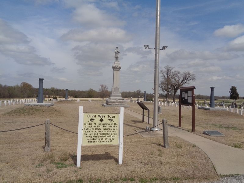
Location. 37° 1.924′ N, 94° 46.243′ W. Marker is near Baxter Springs, Kansas, in Cherokee County. Marker can be reached from West Avenue (U.S. 166). Marker is located in the Soldiers' Lot at Baxter Springs Cemetery. Touch for map. Marker is at or near this postal address: 166 West Ave, Baxter Springs KS 66713, United States of America. Touch for directions.
Other nearby markers. At least 8 other markers are within 2 miles of this marker, measured as the crow flies. Baxter Springs Soldiers' Lot (here, next to this marker); Baxter Springs Civil War Memorial (a few steps from this marker); Tbe Economic Engines (approx. 1.7 miles away); Baxter Springs: from Fort to Town (approx. 1.7 miles away); The Earliest Residents (approx. 1.7 miles away); a different marker also named Civil War Tour (approx. 1.7 miles away); Johnston Public Library (approx. 1.9 miles away); Baxter Springs Massacre (approx. 1.9 miles away). Touch for a list and map of all markers in Baxter Springs.
Credits. This page was last revised on April 14, 2021. It was originally submitted on April 14, 2021, by Jason Voigt of Glen Carbon, Illinois. This page has been viewed 162 times since then and 21 times this year. Photos: 1, 2. submitted on April 14, 2021, by Jason Voigt of Glen Carbon, Illinois.

