Near Chelsea in Rogers County, Oklahoma — The American South (West South Central)
Pryor Creek Bridge
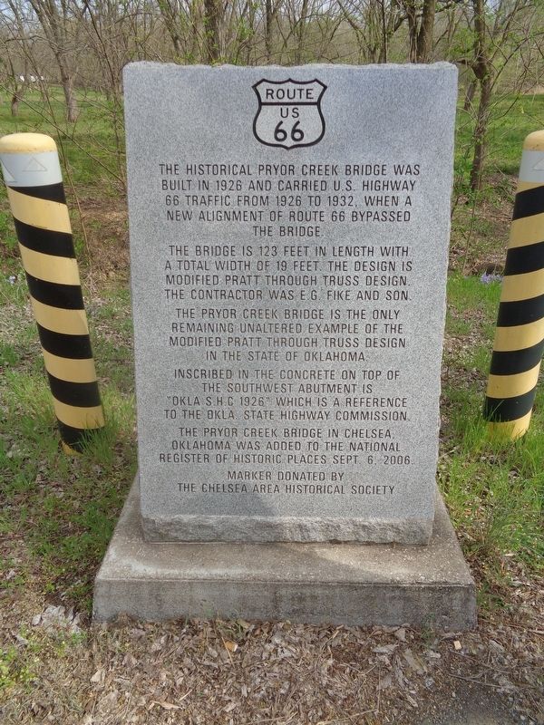
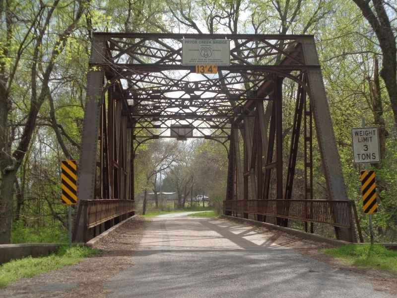
The bridge is 123 feet in length with a total width of 19 feet. The design is modified pratt through truss design. The contractor was E.G. Fike and Son.
The Pryor Creek Bridge is the only remaining unaltered example of the modified pratt through truss design in the State of Oklahoma.
Inscribed in the concrete on top of the southwest abutment is "Okla S.H.C. 1926" which is a reference to the Okla. State Highway Commission.
The Pryor Creek Bridge in Chelsea, Oklahoma was added to the National Register of Historic Places Sept. 6, 2006.
Erected by Chelsea Area Historical Society.
Topics and series. This historical marker is listed in these topic lists: Bridges & Viaducts • Roads & Vehicles. In addition, it is included in the U.S. Route 66 series list. A significant historical year for this entry is 1926.
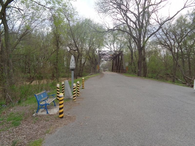
Location. 36° 32.316′ N, 95° 24.882′ W. Marker is near Chelsea, Oklahoma, in Rogers County. Marker is on S4260 Road north of State Highway 66, on the left when traveling south. Touch for map. Marker is at or near this postal address: 16 S4260 Rd, Chelsea OK 74016, United States of America. Touch for directions.
Other nearby markers. At least 4 other markers are within 10 miles of this marker, measured as the crow flies. Al-lu-we (approx. 7 miles away); 1928 Route 66 Footrace (approx. 9.3 miles away); Cabin Creek Battlefield (approx. 9.3 miles away); Andrew Hartley Payne (approx. 10 miles away).
Credits. This page was last revised on April 14, 2021. It was originally submitted on April 14, 2021, by Jason Voigt of Glen Carbon, Illinois. This page has been viewed 479 times since then and 135 times this year. Photos: 1, 2, 3. submitted on April 14, 2021, by Jason Voigt of Glen Carbon, Illinois.


