French Quarter in New Orleans in Orleans Parish, Louisiana — The American South (West South Central)
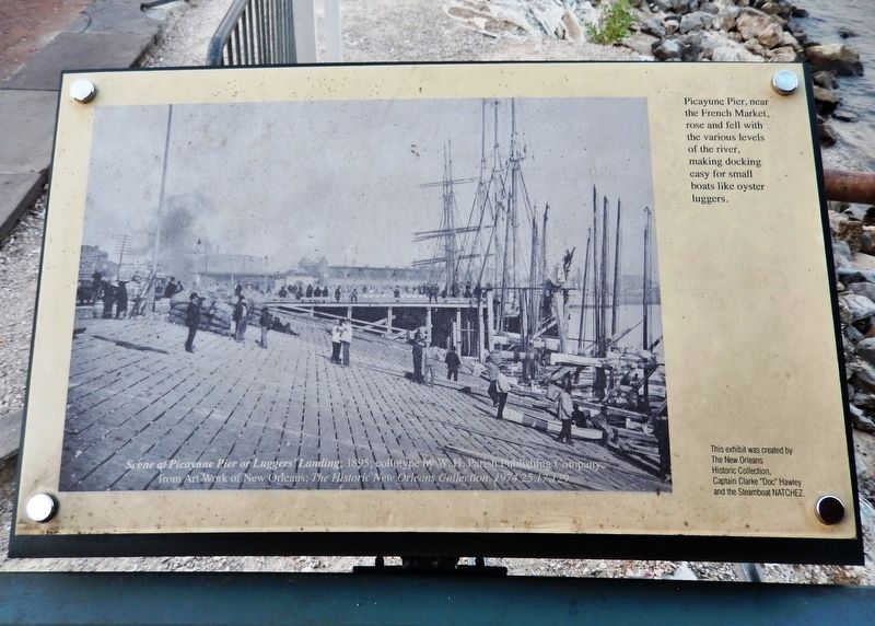
Picayune Pier
Photographed by Cosmos Mariner, May 10, 2018
1. Picayune Pier Marker
Erected by The New Orleans Historic Collection, Captain Clarke "Doc" Hawley and the Steamboat Natchez.
Topics. This historical marker is listed in these topic lists: Industry & Commerce • Waterways & Vessels.
Location. 29° 57.316′ N, 90° 3.752′ W. Marker is in New Orleans, Louisiana, in Orleans Parish. It is in the French Quarter. It can be reached from Toulouse Street east of Decatur Street. Marker is located along the Mississippi Riverwalk, on the Mississippi River Pier at Woldenberg Park. Touch for map. Marker is at or near this postal address: 400 Toulouse Street, New Orleans LA 70130, United States of America. Touch for directions.

Regionally, this marker is in one of Louisiana’s River Parishes. It is also in the American South, specifically in the Deep South, on the Gulf Coast, and in the Great River Road Region. Globally, it is in North America, a Gulf of Mexico state, the Western Hemisphere,
this page online
Other nearby markers. At least 8 other markers are within walking distance of this marker: Riverboat Cotton Bales (within shouting distance of this marker); Sugar Wharves at the Port (within shouting distance of this marker); Natchez Steamboats (within shouting distance of this marker); Work Begins on New Orleans, Spring 1718 (about 400 feet away, measured in a direct line); Transatlantic Slave Trade to Louisiana (about 500 feet away); Execution of Jean Baptiste Baudrau II (about 500 feet away); The Steamer New Orleans (about 600 feet away); Port of New Orleans (about 600 feet away). Touch for a list and map of all markers in New Orleans.
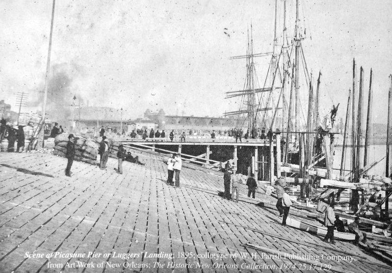
2. Marker detail: Scene at Picayune Pier or Lugers’ Landing; 1895
Photographed by Cosmos Mariner, May 10, 2018
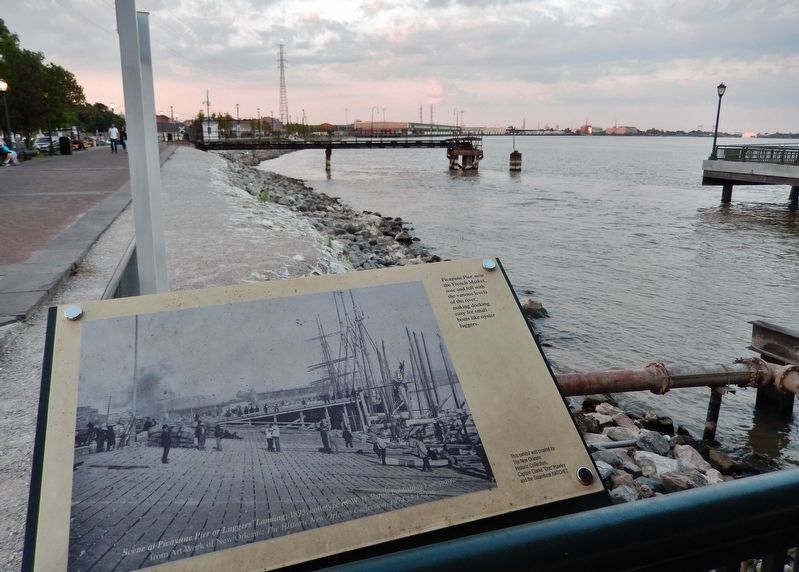
3. Picayune Pier Marker
Credits. This page was last revised on February 12, 2023. It was originally submitted on April 15, 2021, by Cosmos Mariner of Cape Canaveral, Florida. This page has been viewed 460 times since then and 23 times this year. Photos: 1, 2, 3. submitted on April 15, 2021, by Cosmos Mariner of Cape Canaveral, Florida.
