
Tazewell in Claiborne County, Tennessee — The American South (East South Central)
The Old Jail
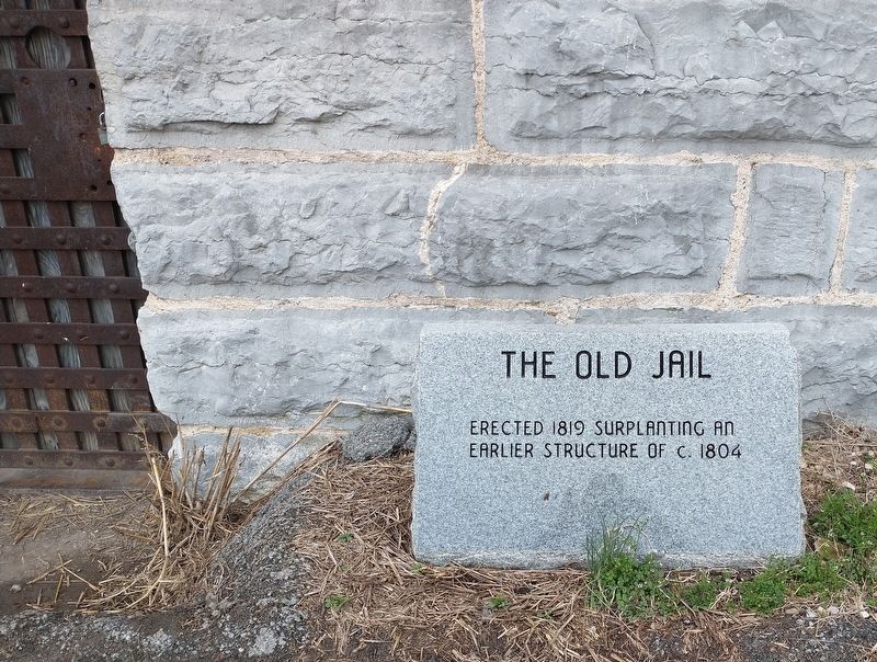
Photographed by Tom Bosse, March 17, 2021
1. The Old Jail Marker
Topics. This historical marker is listed in this topic list: Law Enforcement. A significant historical year for this entry is 1819.
Location. 36° 27.156′ N, 83° 34.122′ W. Marker is in Tazewell, Tennessee, in Claiborne County. It is on Spring Street just south of North Broad Street, on the left when traveling south. Touch for map. Marker is at or near this postal address: 160 Spring St, Tazewell TN 37879, United States of America. Touch for directions.

Regionally, this marker is in East Tennessee. It is also in the American South, specifically in the Upper South, in Appalachia, and specifically in Southern Appalachia. Globally, it is in North America, the Western Hemisphere, the Western World, and the Anglosphere. Historically, it finds itself in what was once the original Cherokee Nation, the territory of the Mississippian Culture, one of the Confederate States of America, and the Antebellum South.
Other nearby markers. At least 8 other markers are within 9 miles of this marker, measured as the crow flies: Graham – Kivett House (about 400 feet away,
this page online
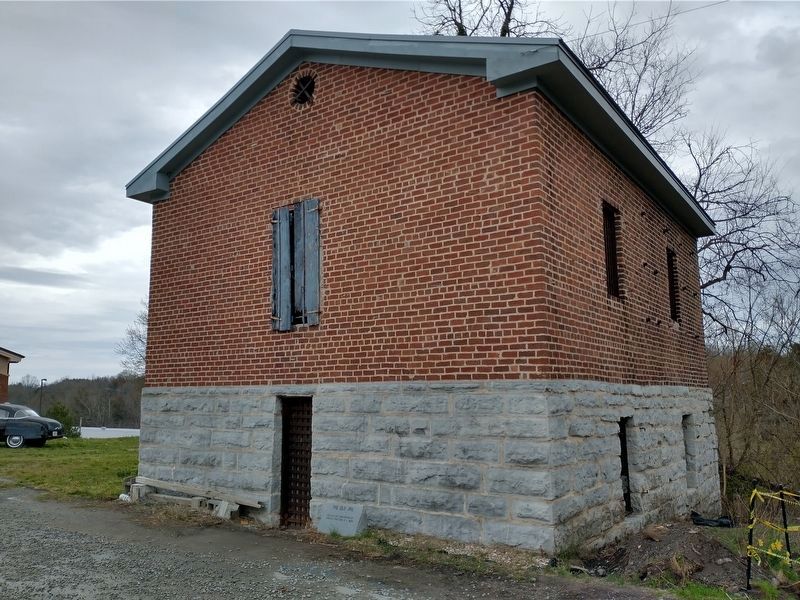
Photographed by Tom Bosse, March 17, 2021
2. The Old Jail
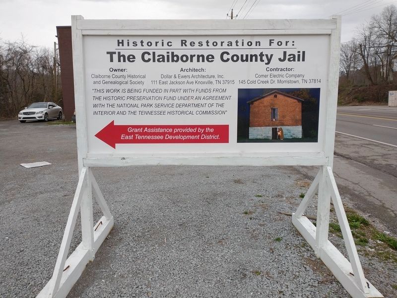
Photographed by Tom Bosse, March 17, 2021
3. Signage for the Old Jail
Credits. This page was last revised on April 16, 2021. It was originally submitted on April 15, 2021, by Tom Bosse of Jefferson City, Tennessee. This page has been viewed 505 times since then and 56 times this year. Photos: 1, 2, 3. submitted on April 15, 2021, by Tom Bosse of Jefferson City, Tennessee. • Devry Becker Jones was the editor who published this page.
