Elizabethtown in Hardin County, Kentucky — The American South (East South Central)
Van Meter Fort
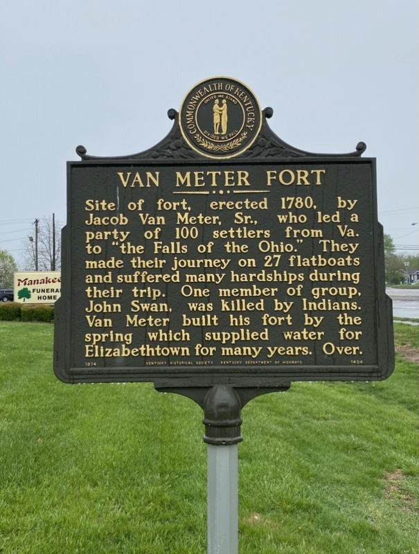
Photographed by Darren Jefferson Clay, April 10, 2021
1. Van Meter Fort Marker
Site of fort, erected 1780, by Jacob Van Meter, Sr., who led a party of 100 settlers from Va. to "the Falls of the Ohio.” They made their journey on 27 flatboats and suffered many hardships during their trip. One member of group, John Swan, was killed by Indians. Van Meter built his fort by the spring which supplied water for Elizabethtown for many years. Over.
Van Meter brought seed wheat from Virginia; built a grist mill. The fort, October, 1790, was scene of an Indian skirmish. Van Meter was a founder of Elizabethtown and Hardin Co. Helped organize Severn's Valley Baptist Church, 1781; served in Revolutionary War as Captain in Clark's Northwest expedition. Buried at fort; remains later moved to Elizabethtown Cemetery.
Erected 1974 by Kentucky Historical Society and Kentucky Department of Highways. (Marker Number 1494.)
Topics. This historical marker is listed in these topic lists: Cemeteries & Burial Sites • Forts and Castles • Settlements & Settlers • War, US Revolutionary. A significant historical month for this entry is October 1790.
Location. 37° 40.65′ N, 85° 53.429′ W. Marker is
this page online

Regionally, this marker is in the American South and specifically in the Upper South. Globally, it is in North America, the Western Hemisphere, the Western World, and the Anglosphere. Historically, it finds itself in what was once the territory of the Mississippian Culture and also the Antebellum South.
Other nearby markers. At least 8 other markers are within 2 miles of this marker, measured as the crow flies: First Presbyterian Church (approx. 2 miles away); Medicine (approx. 2 miles away); Industry (approx. 2 miles away); Post Civil War (approx. 2 miles away); Education (approx. 2 miles away); Civil Rights (approx. 2 miles away); The Military Presence (approx. 2 miles away); Civil War (approx. 2 miles away). Touch for a list and map of all markers in Elizabethtown.

Photographed by Darren Jefferson Clay, April 10, 2021
2. Van Meter Fort Marker

Photographed by Darren Jefferson Clay, April 10, 2021
3. Van Meter Fort Marker

Photographed by Darren Jefferson Clay, April 10, 2021
4. Van Meter Fort Marker
Credits. This page was last revised on July 6, 2025. It was originally submitted on April 17, 2021, by Darren Jefferson Clay of Duluth, Georgia. This page has been viewed 1,866 times since then and 133 times this year. Photos: 1, 2, 3, 4. submitted on April 17, 2021, by Darren Jefferson Clay of Duluth, Georgia. • J. Makali Bruton was the editor who published this page.
