Near Chester in Chesterfield County, Virginia — The American South (Mid-Atlantic)
Lee's Headquarters
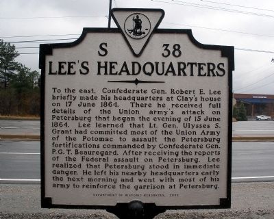
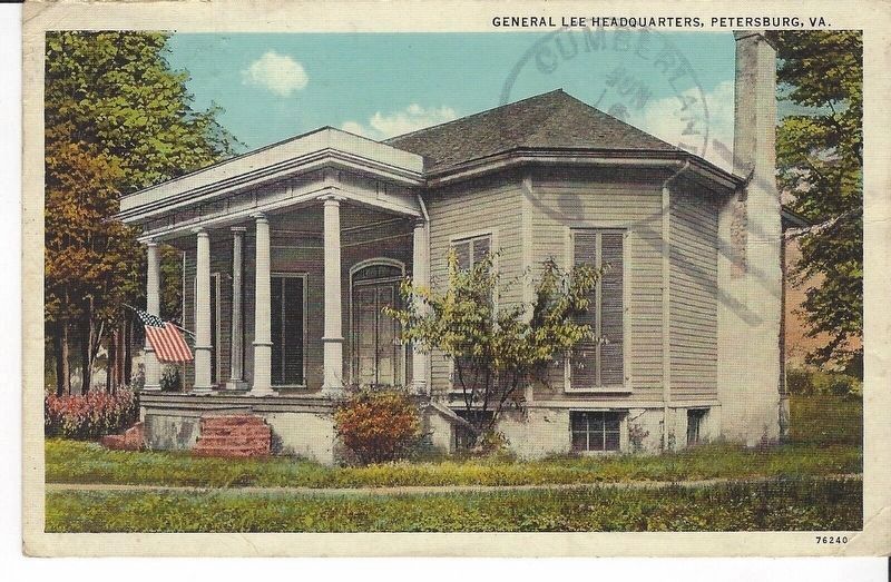
To the east, Confederate Gen. Robert E. Lee briefly made his headquarters at Clay's house on 17 June 1864. There he received full details of the Union army's attack on Petersburg that began the evening of 15 June 1864. Lee learned that Lt. Gen. Ulysses S. Grant had committed most of the Union Army of the Potomac to assault the Petersburg fortifications commanded by Confederate Gen. P. G. T. Beauregard. After receiving the reports of the Federal assault on Petersburg, Lee realized that Petersburg stood in immediate danger. He left his nearby headquarters early the next morning and went with most of his army to reinforce the garrison at Petersburg.
Erected 2002 by Department of Historic Resources. (Marker Number S-38.)
Topics and series. This historical marker is listed in this topic list: War, US Civil. In addition, it is included in the Virginia Department of Historic Resources (DHR) series list. A significant historical date for this entry is June 17, 1864.
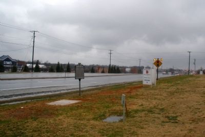
Location. 37° 20.841′ N, 77° 24.627′ W. Marker is near Chester, Virginia, in Chesterfield County. Marker is on Jefferson Davis Highway (U.S. 1) 0.4 miles north of Old Bermuda Hundred Road, on the right when traveling north. This marker is located near the entrance to John Tyler Community College. Touch for map. Marker is in this post office area: Chester VA 23831, United States of America. Touch for directions.
Other nearby markers. At least 8 other markers are within walking distance of this marker. Chester Station Fight (approx. 0.4 miles away); Confederate Reconnaissance Mission (approx. 0.8 miles away); The Howlett Line (approx. 0.8 miles away); Battery Dantzler (approx. 0.9 miles away); Battle of Chester Station (approx. 0.9 miles away); Parker’s Battery (approx. 0.9 miles away); Remembrance (approx. 0.9 miles away); a different marker also named Parker’s Battery (approx. 0.9 miles away). Touch for a list and map of all markers in Chester.
Credits. This page was last revised on February 16, 2023. It was originally submitted on March 17, 2009, by Bernard Fisher of Richmond, Virginia. This page has been viewed 1,649 times since then and 57 times this year. Photos: 1. submitted on March 17, 2009, by Bernard Fisher of Richmond, Virginia. 2. submitted on February 16, 2023, by Larry Gertner of New York, New York. 3. submitted on March 17, 2009, by Bernard Fisher of Richmond, Virginia.


