
Marblehead in Ottawa County, Ohio — The American Midwest (Great Lakes)
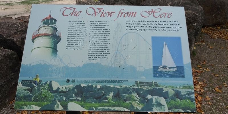
The View From Here
Photographed by Craig Doda, October 10, 2020
1. The View From Here Marker
During the great age of sail when shipping in the area flourished during the mid-1800s, wooden hulled schooners rounded this rocky tip of Marblehead Peninsula on their way to and from the bustling Port of Sandusky Bay, carrying limestone and lime, fish, apples, nails and most any other merchandise that could be shipped in a barrel. Until 1870, the Marblehead Lighthouse was known as the Sandusky Bay Light.
By the early 1900s steamboats had replaced the schooners, but the lighthouse continued to serve as an important navigational aid for decades. In more recent times, the Sandusky port has been used to load coal from southeast Ohio railcars to Great Lakes vessels. Modern electronic navigational aids have greatly reduced the importance of the lighthouse for commercial vessels. But the Marblehead Lighthouse continues to serve as an important visual reference for the many pleasure craft that frequent this popular resort area and warns boaters from the rocks as it has done for nearly two centuries.
As you face east, the popular amusement park, Cedar Point, is visible opposite Mosely Channel, a north-south shipping route
this page online
Topics and series. This historical marker is listed in these topic lists: Communications • Industry & Commerce • Waterways & Vessels. In addition, it is included in the Lighthouses series list. A significant historical year for this entry is 1870.
Location. 41° 32.169′ N, 82° 42.705′ W. Marker is in Marblehead, Ohio, in Ottawa County. It is on Lighthouse Drive 0.1 miles east of Ohio Route 163, on the right when traveling east. Touch for map. Marker is at or near this postal address: 110 Lighthouse Dr, Lakeside Marblehead OH 43440, United States of America. Touch for directions.

Regionally, this marker is on the Lake Erie Shore and in the Toledo Metropolitan Area. It is also in the American Midwest and in the Corn Belt. Globally, it is in North America, on the Great Lakes, in the Western Hemisphere, in the Western World, and in the Anglosphere. Historically, it finds itself in what was once the Viceroyalty of New France, the Haudenosaunee (Iroquois) Confederacy, the territory of the Mississippian Culture, and the Northwest
Photographed by Craig Doda, October 10, 2020
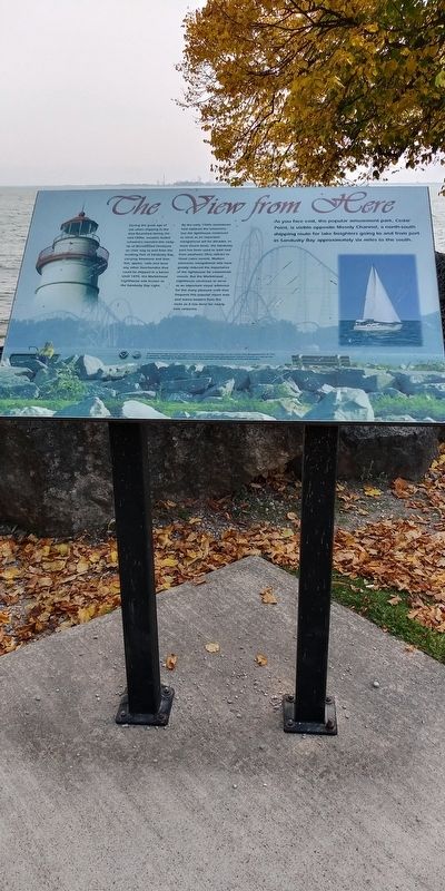
2. The View From Here Marker
Other nearby markers. At least 8 other markers are within walking distance of this marker: Marblehead Lighthouse (a few steps from this marker); Lake Erie (within shouting distance of this marker); a different marker also named Marblehead Lighthouse (within shouting distance of this marker); U.S. Lifesaving Station Marblehead, Ohio (within shouting distance of this marker); a different marker also named Marblehead Lighthouse (within shouting distance of this marker); a different marker also named The View From Here (within shouting distance of this marker); Winslow Griesser (about 300 feet away, measured in a direct line); The Light / The Keepers of the Light (about 300 feet away). Touch for a list and map of all markers in Marblehead.
Credits. This page was last revised on April 19, 2021. It was originally submitted on April 18, 2021, by Craig Doda of Napoleon, Ohio. This page has been viewed 214 times since then and 9 times this year. Photos: 1, 2. submitted on April 18, 2021, by Craig Doda of Napoleon, Ohio. • Devry Becker Jones was the editor who published this page.
