Eva in Benton County, Tennessee — The American South (East South Central)
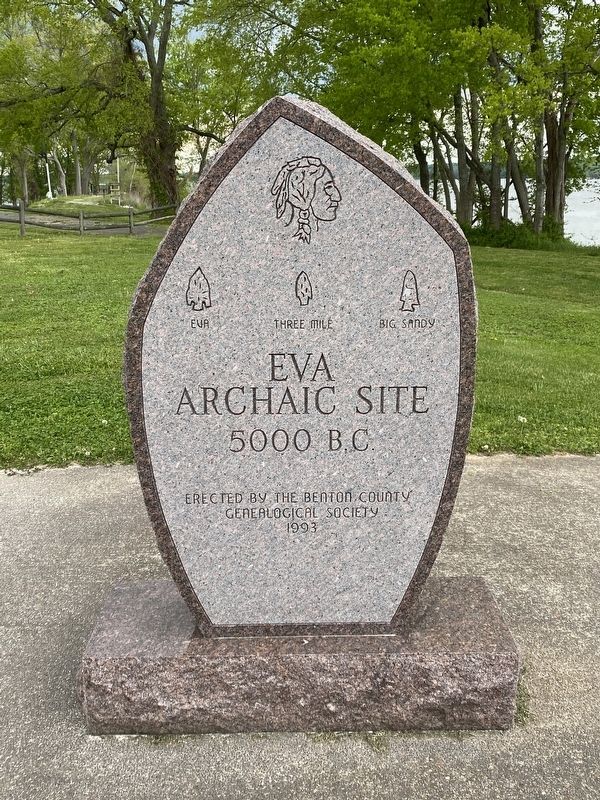
Eva Archaic Site
5000 B.C.
Eva • Three Mile • Big Sandy
Erected 1993 by Benton County Genealogical Society.
Topics. This historical marker is listed in these topic lists: Anthropology & Archaeology • Native Americans • Settlements & Settlers. A significant historical year for this entry is 5000 BCE.
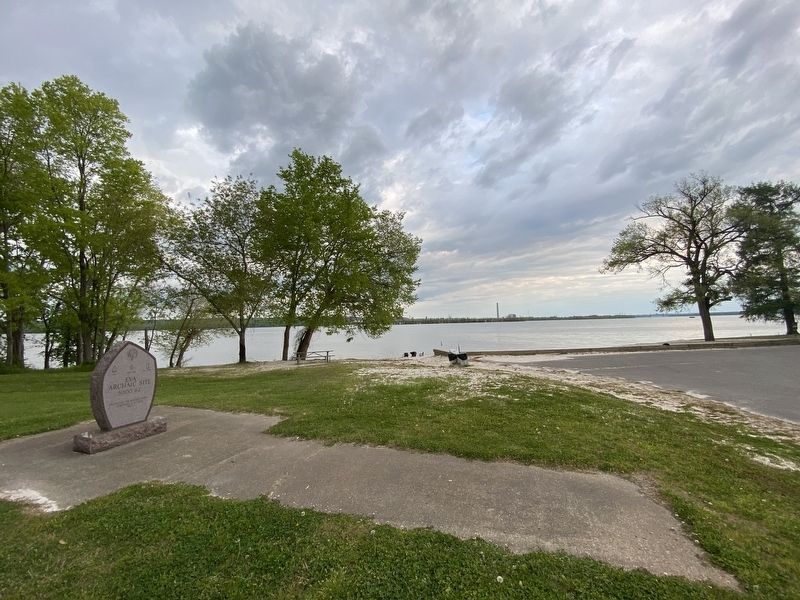
Location. 36° 3.601′ N, 87° 59.919′ W. Marker is in Eva, Tennessee, in Benton County. Marker is on Eva Beach Drive, 0.2 miles east of Lucas Road, on the right when traveling east. Touch for map. Marker is in this post office area: Eva TN 38333, United States of America. Touch for directions.
Other nearby markers. At least 8 other markers are within 2 miles of this marker, measured as the crow flies. Bombarding Johnsonville (about 300 feet away, measured in a direct line); Eva, A Community of the Western Banks of the Tennessee River (about 500 feet away); The Tennessee River Railroad Bridge (about 500 feet away); Railroads, A Force for Development (about 500 feet away); Winfrey Cemetery (approx. 1.8 miles away); Lower Redoubt (approx. 1.8 miles away); The Tennessee River in the Civil War (approx. 1.8 miles away); The Union Supply Depot (approx. 1.8 miles away). Touch for a list and map of all markers in Eva.
Credits. This page was last revised on April 19, 2021. It was originally submitted on April 18, 2021, by Darren Jefferson Clay of Duluth, Georgia. This page has been viewed 226 times since then and 24 times this year. Photos: 1, 2. submitted on April 18, 2021, by Darren Jefferson Clay of Duluth, Georgia. • Devry Becker Jones was the editor who published this page.

