St. Augustine in St. Johns County, Florida — The American South (South Atlantic)
Site of Fort Peyton
Photographed by Brandon D Cross, April 14, 2021
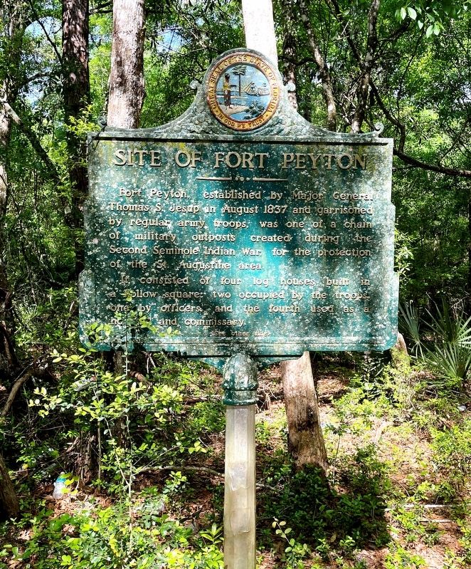
1. Site of Fort Peyton Marker
(side 1)
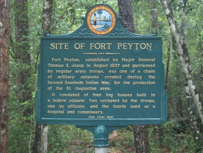
Fort Peyton, established by Major General Thomas S. Jesup in August 1837 and garrisoned by regular army troops, was one of a chain of military outposts created during the Second Seminole Indian War, for the protection of the St. Augustine area.
It consisted of four log houses built in a hollow square; two occupied by the troops, one by officers, and the fourth used as a hospital and commissary.
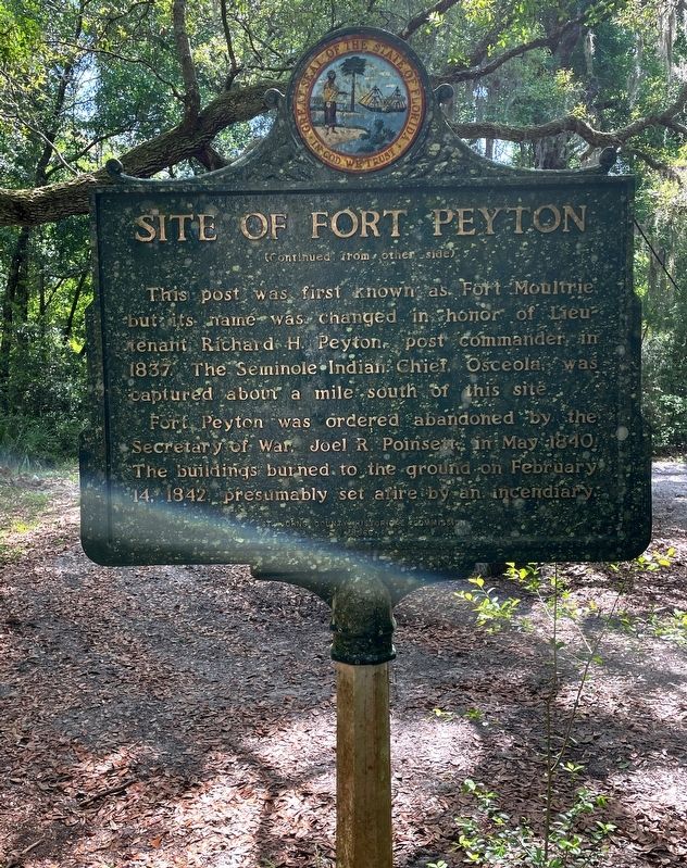
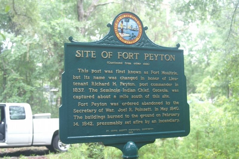
Fort Peyton was ordered abandoned by the Secretary of War, Joel R. Poinsett in May 1840. The buildings burned to the ground on February 14, 1842, presumably set afire by an incendiary.
Erected 1966 by St. Johns County Historical Commission.
Topics. This historical marker is listed in these topic lists: Forts and Castles • Wars, US Indian. A significant historical month for this entry is August 1837.
Location. 29° 49.3′ N, 81° 21.367′ W. Marker
this page online

Regionally, this marker is in First Coast and in Greater Jacksonville. It is also in the American South and on the Eastern Seaboard. Globally, it is in the North Atlantic Region, North America, a Gulf of Mexico state, the Western Hemisphere, the Western World, and the Anglosphere. Historically, it finds itself in what was once New Spain, the territory of the Mississippian Culture, one of the Confederate States of America, and the Antebellum South.
Other nearby markers. At least 8 other markers are within walking distance of this marker: A different marker also named Site of Fort Peyton (a few steps from this marker); Treaty of Moultrie Creek (approx. 0.8 miles away); Seminole War (Fort Peyton) (approx. 0.8 miles away); a different marker also named Treaty of Moultrie Creek (approx. 0.8 miles away); Capture of Osceola
Photographed by Brandon D Cross, April 14, 2021
2. Site of Fort Peyton Marker
Also see . . . Fort Peyton. Wikipedia (Submitted on April 19, 2021, by Brandon D Cross of Flagler Beach, Florida.)
Photographed by Tim Fillmon, July 16, 2008
3. Site of Fort Peyton Marker without lichens Side 1
Photographed by Tim Fillmon, July 16, 2008
4. Site of Fort Peyton Marker without lichens Side 2
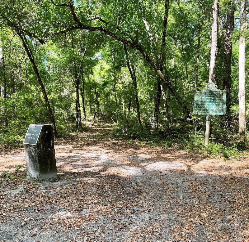
Photographed by Brandon D Cross, April 14, 2021
5. Site of Fort Peyton Marker
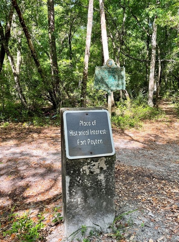
Photographed by Brandon D Cross, April 14, 2021
6. Place of Interest: Fort Peyton Stone Marker
Credits. This page was last revised on April 20, 2021. It was originally submitted on April 19, 2021, by Brandon D Cross of Flagler Beach, Florida. This page has been viewed 2,678 times since then and 220 times this year. Photos: 1, 2. submitted on April 19, 2021, by Brandon D Cross of Flagler Beach, Florida. 3, 4. submitted on April 20, 2021, by Tim Fillmon of Webster, Florida. 5, 6. submitted on April 19, 2021, by Brandon D Cross of Flagler Beach, Florida. • Bernard Fisher was the editor who published this page.
