Elizabethtown in Hardin County, Kentucky — The American South (East South Central)
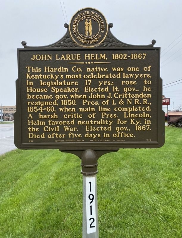
John Larue Helm, 1802-1867
Erected 1992 by Kentucky Historical Society and Kentucky Department of Highways. (Marker Number 1912.)
Topics and series. This historical marker is listed in these topic lists: Railroads & Streetcars • War, US Civil. In addition, it is included in the Kentucky Historical Society series list.
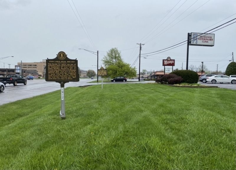
Location. 37° 42.481′ N, 85° 52.399′ W. Marker is in Elizabethtown, Kentucky, in Hardin County. Marker is on North Dixie Highway (U.S. 31W) north of Craddock Court, on the right when traveling north. Touch for map. Marker is at or near this postal address: 804 N Dixie Hwy, Elizabethtown KY 42701, United States of America. Touch for directions.
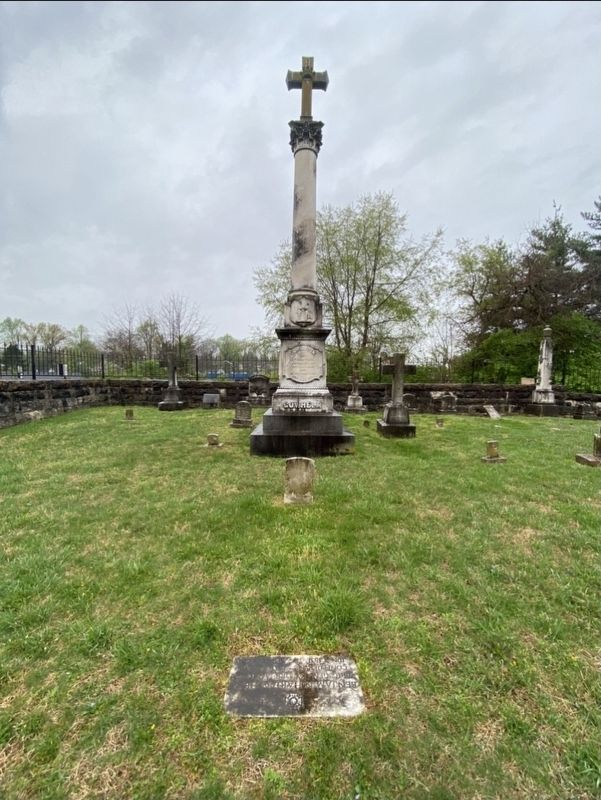
Other nearby markers. At least 8 other markers are within 2 miles of this marker, measured as the crow flies. Helm Cemetery (a few steps from this marker); John Young Brown (1835-1904) (approx. 0.4 miles away); Lincoln Heritage House (approx. 0.8 miles away); Sarah Bush Johnston Lincoln (approx. 0.8 miles away); Severns Valley Baptist Church (approx. 1.3 miles away); The Cannonball (approx. 1.3 miles away); Battle of Elizabethtown (approx. 1.3 miles away); Brown-Pusey House (approx. 1.3 miles away). Touch for a list and map of all markers in Elizabethtown.
Credits. This page was last revised on April 20, 2021. It was originally submitted on April 19, 2021, by Darren Jefferson Clay of Duluth, Georgia. This page has been viewed 150 times since then and 5 times this year. Photos: 1, 2, 3. submitted on April 19, 2021, by Darren Jefferson Clay of Duluth, Georgia. • Bernard Fisher was the editor who published this page.


