Woodville
First Waypoint to Gettysburg
— Gettysburg Campaign —
After Confederate Gen. Robert E. Lee's stunning victory at Chancellorsville in May 1863, he led the Army of Northern Virginia west to the Shenandoah Valley, then north through central Maryland and across the Mason-Dixon line into Pennsylvania. Union Gen. George G. Meade, who replaced Gen. Joseph Hooker on June 28, led the Army of the Potomac in pursuit. Confederate cavalry commander Gen. J.E.B. Stuart cut Federal communications and rail lines and captured supplies. The armies collided at Gettysburg on July 1, starting a battle that neither general planned to fight there. Three days later, the defeated Confederates retreated, crossing the Potomac River into Virginia on July 14.
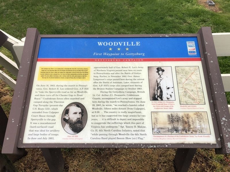
On June 16, 1863, during the march to Pennsylvania, Gen. Robert E. Lee ordered Gen. A.P. Hill to "take the Sperryville road as far as Woodville, and there turn off for for Chester Gap to Front Royal." Confederate forces often marched and camped along the Thornton Gap Turnpike (present-day U.S. Route 522), which extended from Culpeper Court House through Sperryville to the gap. It was a macadamized (hard-surfaced) road that was ideal for artillery and large bodies of troops. In June and July 1863, approximately half of Gen. Robert E. Lee's Army of Northern Virginia paused near here en route to Pennsylvania and after the Battle
of Gettysburg. Earlier, in November 1862, Gen. James Longstreet's corps passed here during the retreat after the Battle of Antietam. Later, elements of Gen. A.P. Hill's corps also camped here during the Bristoe Station Campaign in October 1863.
During the Gettysburg Campaign, British Lt. Col. Arthur J.L. Fremantle, Coldstream Guards, accompanied Lee's army and stopped here during the march to Pennsylvania. On June 20, 1863, he wrote, "we reached a hamlet called Woodville, fifteen miles distant [from Culpeper], at 9:30. … The country is really magnificent, but as it has supported two large armies for two years, … it is difficult to depict and impossible to exaggerate the sufferings which this part of Virginia has undergone." Sgt. Yancey B. Malone, Co. H, 6th North Carolina Infantry, noted that "while passing through Woodville the 6th North Carolina Band played Bonnie Blew [sic] Flag."
Erected by Virginia Civil War Trails.
Topics and series. This historical marker is listed in these topic lists: Roads & Vehicles • War, US Civil. In addition, it is included in the Virginia Civil War Trails series list. A significant historical month for this entry is May 1863.
Location. 38° 36.329′ N, 78° 10.538′ W. Marker is in Woodville, Virginia, in Rappahannock County. Marker is on Hawlin Road

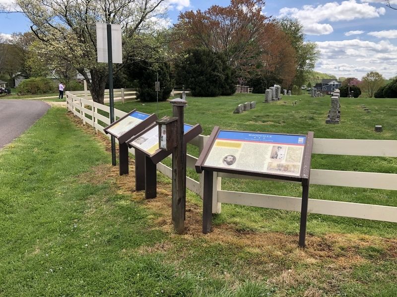
Other nearby markers. At least 8 other markers are within 5 miles of this marker, measured as the crow flies. Mosby and Sneden (here, next to this marker); Milroy's Camp (here, next to this marker); John Jackson—Traditional Musician (approx. ¼ mile away); Advent of the "German" Corps (approx. 4.2 miles away); Rehearsals for Fame (approx. 4.2 miles away); Rappahannock County / Culpeper County (approx. 4.2 miles away); Pope’s Army of Virginia (approx. 4.4 miles away); Sigels' Corps (approx. 4½ miles away). Touch for a list and map of all markers in Woodville.
Credits. This page was last revised on April 19, 2021. It was originally submitted on April 19, 2021, by Devry Becker Jones of Washington, District of Columbia. This page has been viewed 428 times since then and 67 times this year. Photos: 1, 2. submitted on April 19, 2021, by Devry Becker Jones of Washington, District of Columbia.
