
Near Locust Grove in Orange County, Virginia — The American South (Mid-Atlantic)
Germanna
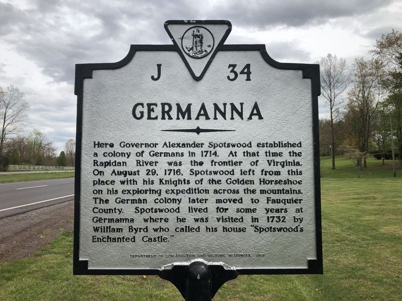
Erected 1986 by Department of Conservation and Historic Resources. (Marker Number J-34.)
Topics and series. This historical marker is listed in these topic lists: Colonial Era • Exploration • Settlements & Settlers. In addition, it is included in the Virginia Department of Historic Resources (DHR) series list. A significant historical year for this entry is 1714.
Location. 38° 22.663′ N, 77° 46.906′ W. Marker is near Locust Grove, Virginia, in Orange County. It is at the intersection of Germanna Highway (Virginia Route 3) and College Drive ( Road 375), on the right when traveling east on Germanna Highway. Touch for map. Marker is at or near
this page online

Regionally, this marker is in Northern Virginia and in the Piedmont. It is also in the American South and specifically in the Upper South. Globally, it is in North America, the Western Hemisphere, the Western World, and the Anglosphere. Historically, it finds itself in what was once the territory of the Mississippian Culture, one of the original Thirteen Colonies, one of the Confederate States of America, and the Antebellum South.
Other nearby markers. At least 8 other markers are within walking distance of this marker: Germanna Ford (here, next to this marker); a different marker also named Germanna Ford (about 300 feet away, measured in a direct line); Grant Takes Command (about 300 feet away); Fort Germanna (about 400 feet away); Alexander Spotswood's Enchanted Castle (about 400 feet away); Fort Germanna Visitor Center (about 400 feet away); Hans Conrad Amberger (about 500 feet away); Giuseppe Oddenino (about 600 feet away). Touch for a list and map of all markers in Locust Grove.
Other markers no
Photographed by Craig Swain, November 10, 2007
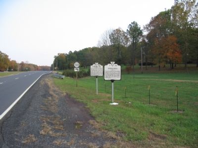
2. Germanna Marker
This is a photo of the marker in its previous configuration, with the previous iteration of the nearby Germanna Ford marker.
Related marker. Click here for another marker that is related to this marker. To better understand the relationship, study the marker shown.
Also see . . .
1. The Germanna Foundation. Honoring and celebrating the heritage of Virginia's first organized settlement of German colonists. (Submitted on January 13, 2008, by Craig Swain of Leesburg, Virginia.)
2. Welcome to the Germanna Exhibit! | The Rise and Fall of Alexander Spotswood's Germanna. Germanna is located West of Fredericksburg, Virginia. The land has served as a frontier fort and the mansion of former Royal Governor Alexander Spotswood in the 18th century, a town of German immigrants, a place of agricultural activity, and a site of heavy military activity during the American Civil War.
Photographed by PaulwC3, April 3, 2013
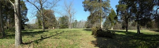
3. Panorama of the "Enchanted Castle"/Fort Germanna site
Looking west across the raised terrace of "Enchanted Castle" toward the Rapidan River. On the right are the some of the remnants of Avenue of Cedars. On the left in the distance are the covered archeological excavation pits.
3. Inquiry: Germanna’s Treasure Trove of History: A Journey of Discovery. If you heard that there was an Enchanted Castle and a 300-year-old fort called Fort Germanna in some woods across the street from your community college, would you want to go to see them? Well, of course! (Submitted on April 4, 2013, by PaulwC3 of Northern, Virginia.)
Photographed by PaulwC3, April 3, 2013
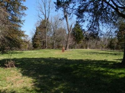
4. The "Enchanted Castle" at Germanna view
Aside from 20th Century archeological excavations, the open area is punctuated by depressions and furrowed trails, in the ground, left by inhabitants from Fort Germanna and Spotswood's "Enchanted Castle" through the Civil War.
Photographed by PaulwC3, April 3, 2013
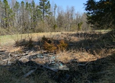
5. The "Enchanted Castle" at Germanna archeological dig pit
An overgrown excavation site from the 1985 to 1991 effort.
Photographed by Craig Swain, January 5, 2008
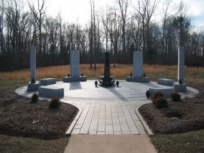
6. The Memorial Gardens
Photographed by Craig Swain, January 5, 2008
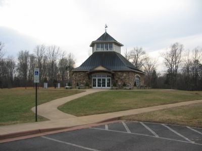
7. Germanna Visitors Center
The nearby Germanna Visitors Center offers information about the Germanna community particularly the cultural links from the German ancestry. The cupola offers views of Germanna Ford and portions of the surrounding Civil War battlefields.
Credits. This page was last revised on July 8, 2021. It was originally submitted on December 1, 2007, by Craig Swain of Leesburg, Virginia. This page has been viewed 2,872 times since then and 96 times this year. Last updated on April 19, 2021, by Bradley Owen of Morgantown, West Virginia. Photos: 1. submitted on April 19, 2021, by Devry Becker Jones of Washington, District of Columbia. 2. submitted on December 1, 2007, by Craig Swain of Leesburg, Virginia. 3, 4, 5. submitted on April 4, 2013, by PaulwC3 of Northern, Virginia. 6. submitted on January 13, 2008, by Craig Swain of Leesburg, Virginia. 7. submitted on January 12, 2008, by Craig Swain of Leesburg, Virginia. • J. Makali Bruton was the editor who published this page.
