Locust Grove in Orange County, Virginia — The American South (Mid-Atlantic)
Alexander Spotswood's Enchanted Castle

Photographed by Devry Becker Jones (CC0), April 17, 2021
1. Alexander Spotswood's Enchanted Castle Marker
"Then I came to Germanna. This famous town consists of Col. Spotswood's enchanted castle on one side of the street, and a baker's dozen of ruinous tenements on the other, where so many German families had dwelt some years ago."
— William Byrd II, The Westover Manuscripts
Around 1720, Virginia's Lt. Governor, Alexander Spotswood, had the wooden walls of the 1714 Fort removed to make space for constructing a new mansion for himself. It was to be the center of his vast landholdings which included several plantations, his "Tubal" Iron Works, forests for lumber and fuel, as well as shipping operations at Massapponax on the Rappahannock River.
Spotswood's stately mansion stood out on the frontier. The house was built with local stone for its foundations and fired clay brick walls. The exterior was decorated with richly carved sandstone and even had slate shingles for the roof.
A town grew up around the mansion. The town of Germanna served as Spotsylvania County's first county seat from 1721-1728.
In 1732, William Byrd II visited Spotswood's Germanna home and called it an "Enchanted Castle." The name stuck. At
this page online
Spotswood died in 1740. His widow, Butler Brayne, stayed in the house with her children until she remarried. Alexander's son John lived at Germanna until 1748, when he moved to another family home.
Archaeologists determined that the Enchanted Castle burned to the ground sometime around 1750. They found the remains of the Enchanted Castle in the late 1960s. A variety of excavations were carried out at the site starting in the 1960s and continuing through 1995.
The Germanna Foundation took over stewardship of the property in 2013 and stabilized the Enchanted Castle Site protecting it for future generations.
[Timeline:]
1720: Spotswood removes the fort's palisade walls to make space to build a Georgian style mansion. William Byrd II later calls it the "Enchanted Castle."
1720s: Spotswood's Tubal Furnace, east of Germanna, begins operations.
1721: Spotswood succeeds in making Germanna county seat for newly formed Spotsylvania County.
1726:
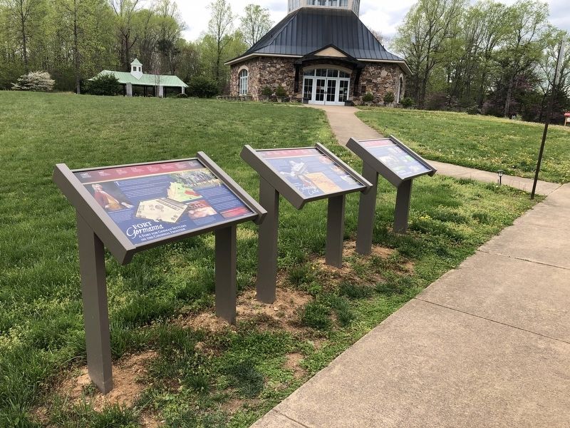
Photographed by Devry Becker Jones (CC0), April 17, 2021
2. Alexander Spotswood's Enchanted Castle Marker
1740: Alexander Spotswood dies.
1742: Spotswood's widow, Butler Brayne, marries the Reverend John Thompson.
1748: Spotswood's son, John, moves away from Germanna. He died in 1758 and in 2002, his remains were reburied in the Germanna Memorial Garden.
1750: The Enchanted Castle burns to the ground around this time.
1757: Rev. John Thompson and Butler Brayne complete construction of Salubria.
Erected by the Germanna Foundation.
Topics. This historical marker is listed in these topic lists: Architecture • Colonial Era • Forts and Castles • Settlements & Settlers. A significant historical year for this entry is 1720.
Location. 38° 22.666′ N, 77° 46.984′ W. Marker is in Locust Grove, Virginia, in Orange County. It is on College Drive (Virginia Route 375) 0.2 miles west of Germanna Highway ( Route 3), on the right when traveling west. Touch for map. Marker is at or near this postal address: 2062 Germanna Hwy, Locust Grove VA 22508, United States of America. Touch for directions.

Regionally, this marker is in Northern Virginia and in the Piedmont. It is also in the American South and specifically in the Upper South. Globally, it is in North America, the Western Hemisphere, the Western World, and the Anglosphere. Historically, it finds itself in what was once the territory of the Mississippian Culture, one of the original Thirteen Colonies, one of the Confederate States of America, and the Antebellum South.
Other nearby markers. At least 8 other markers are within walking distance of this marker: Fort Germanna (here, next to this marker); Fort Germanna Visitor Center (here, next to this marker); Grant Takes Command (within shouting distance of this marker); Germanna Ford (within shouting distance of this marker); Hans Conrad Amberger (within shouting distance of this marker); Giuseppe Oddenino (within shouting distance of this marker); Spotswood (within shouting distance of this marker); Site of the First German Reformed Church (about 300 feet away, measured in a direct line). Touch for a list and map of all markers in Locust Grove.
Credits. This page was last revised on November 3, 2024. It was originally submitted on April 19, 2021, by Devry Becker Jones of Washington, District of Columbia. This page has been viewed 3,947 times since then and 259 times this year. Photos: 1, 2. submitted on April 19, 2021, by Devry Becker Jones of Washington, District of Columbia.
