Turner Park in Tulsa in Tulsa County, Oklahoma — The American South (West South Central)
The Fabric of a Community
Route 66 Tulsa
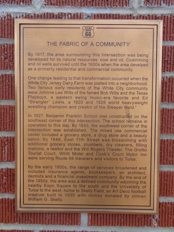
One change leading to that transformation occurred when the White City Jersey Dairy Farm was platted into a neighborhood. Two famous early residents of the White City community were Johnnie Lee Wills of the famed Bob Wills and the Texas Playboys, a western swing music-era favorite and Ed "Strangler" Lewis, a 1920 and 1928 world heavyweight wrestling champion and creator of the Sleeper Hold".
In 1927, Benjamin Franklin School was constructed on the southeast corner of this intersection. The school remains in operation to this day. By 1943, the southwest corner of the intersection was established. The mixed use commercial center included a grocery store, a drug store and a beauty salon. By 1946, East 11th Street was blossoming with additional grocery stores, plumbers, dry cleaners, filling stations, a realtor and the Will Rogers Theater. The Grotto Tourist Court, Whitt Motel and Cook's Court Motor Inn were serving Route 66 travelers and visitors to Tulsa.
By the early 1950s, the range of services broadened and included insurance agents, bookkeepers, an architect, dentists and a financial investment company. By the end of the 1950s, the area was a defined community adjoining the nearby Expo Square to the south and the University of Tulsa to the west, home to Skelly Field, an Art Deco football stadium built in 1930 with money donated by oilman William G. Skelly.
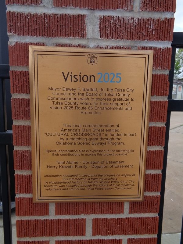
Erected by Vision 2025.
Topics and series. This historical marker is listed in these topic lists: Arts, Letters, Music • Education • Industry & Commerce • Roads & Vehicles. In addition, it is included in the U.S. Route 66 series list. A significant historical year for this entry is 1917.
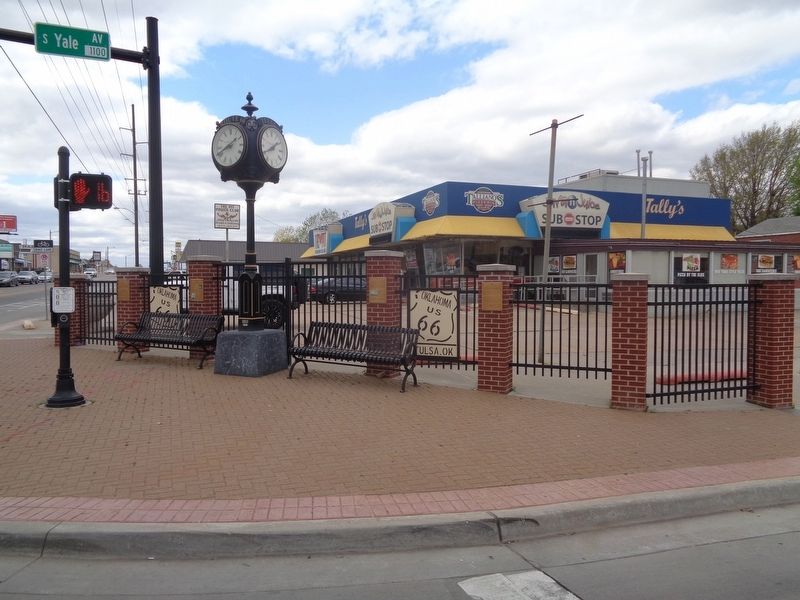
Location. 36° 8.878′ N, 95° 55.359′ W. Marker is in Tulsa, Oklahoma, in Tulsa County. It is in Turner Park. Marker is at the intersection of South Yale Avenue and East 11th Street (Old U.S. 66), on the left when traveling north on South Yale Avenue. Touch for map. Marker is at or near this postal address: 1009 S Yale Ave, Tulsa OK 74112, United States of America. Touch for directions.
Other nearby markers. At least 8 other markers are within walking distance of this marker. Pearls Along the Route 66 Highway (here, next to this marker); Expo Square (here, next to this marker); The Golden Drumstick Restaurant (within shouting distance of this marker); White City Historic District Neighborhood (within shouting distance of this marker); The American Milkman
(within shouting distance of this marker); The Era of World War II (within shouting distance of this marker); Auto Dealerships (approx. 0.2 miles away); Cyrus Avery (approx. 0.9 miles away). Touch for a list and map of all markers in Tulsa.
Additional keywords. country music
Credits. This page was last revised on February 16, 2023. It was originally submitted on April 20, 2021, by Jason Voigt of Glen Carbon, Illinois. This page has been viewed 170 times since then and 12 times this year. Photos: 1, 2, 3. submitted on April 20, 2021, by Jason Voigt of Glen Carbon, Illinois.


