Near Teague in Freestone County, Texas — The American South (West South Central)
Salem Predestinarian Baptist Church and Cemetery
Photographed by James Hulse, April 19, 2021
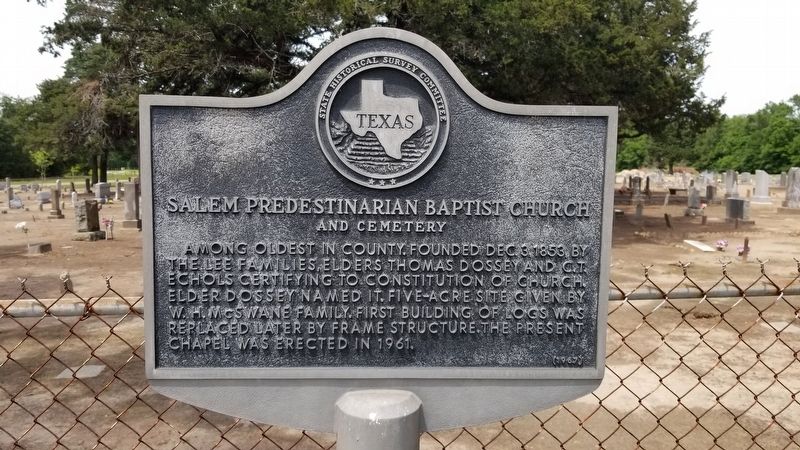
1. Salem Predestinarian Baptist Church and Cemetery Marker
Among oldest in county. Founded Dec. 3, 1853, by the Lee families, Elders Thomas Dossey and C.T. Echols certifying to constitution of church. Elder Dossey named it. Five-acre site given by W.H. McSwane family. First building of logs was replaced later by frame structure. The present chapel was erected in 1961.
Erected 1967 by State Historical Survey Committee. (Marker Number 9901.)
Topics. This historical marker is listed in these topic lists: Cemeteries & Burial Sites • Religion & Religious Structures. A significant historical date for this entry is December 3, 1853.
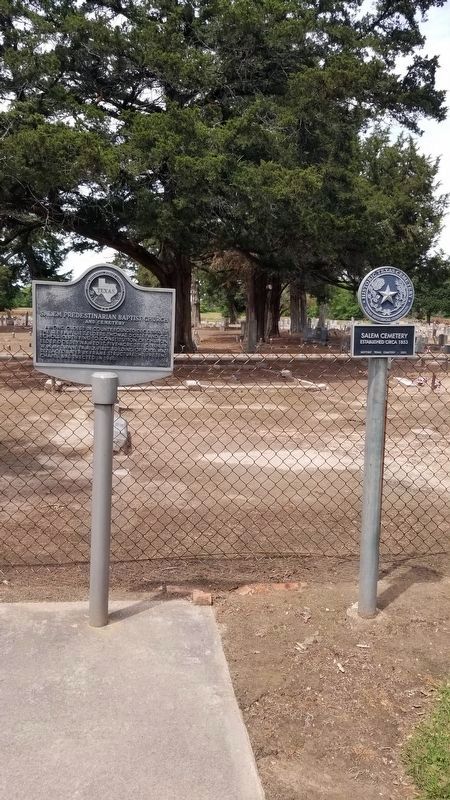
Location. 31° 34.309′ N, 96° 15.916′ W. Marker is near Teague, Texas, in Freestone County. It is on County Highway 731 1.2 miles east of Farm to Market Road 80. The marker is located west of the front gate of the Salem cemetery. Touch for map. Marker is in this post office area: Teague TX 75860, United States of America. Touch for directions.

Regionally, this marker is in the Prairies & Lakes Region. It is also in the American South. Globally, it is in North America, a Gulf of Mexico state, the Western Hemisphere, the Western World, and the Anglosphere.
this page online
Other nearby markers. At least 8 other markers are within 4 miles of this marker, measured as the crow flies: Captain Richard B. Haley (within shouting distance of this marker); Union Cemetery (approx. 3.2 miles away); The Dr. Emmet Headlee House (approx. 3.6 miles away); John F. Wallace House (approx. 3.9 miles away); William Rufus Boyd, Jr. (approx. 3.9 miles away); The “Boll Weevil” Railway (approx. 3.9 miles away); Town of Teague (approx. 3.9 miles away); Llewellyn Notley (approx. 4 miles away). Touch for a list and map of all markers in Teague.
Photographed by James Hulse, April 19, 2021
2. The Salem Marker is the marker on the left of the two markers
Photographed by James Hulse, April 19, 2021
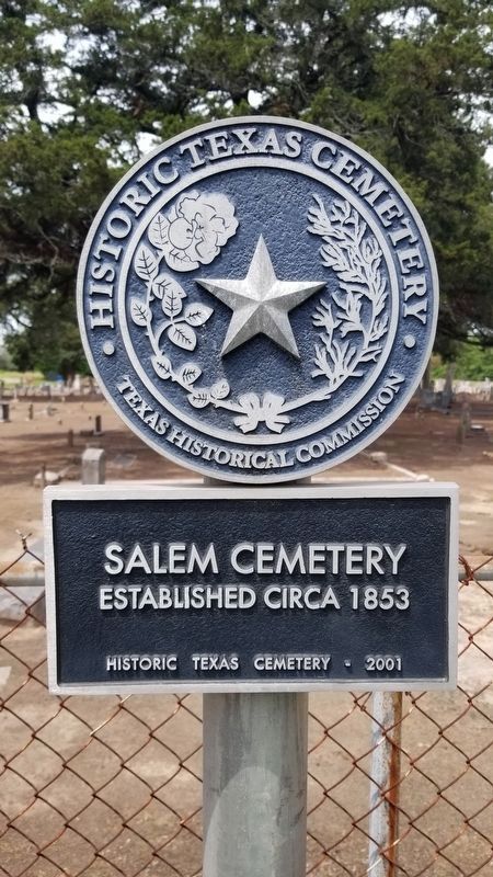
3. Historic Texas Cemetery- Salem Cemetery 1853
Photographed by James Hulse, April 19, 2021
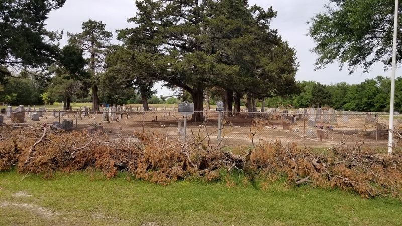
4. Salem Predestinarian Baptist Church and Cemetery Marker
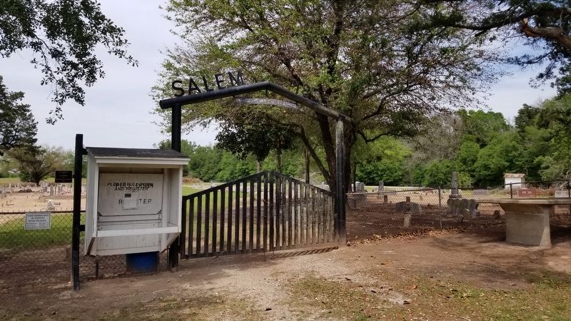
Photographed by James Hulse, April 19, 2021
5. Salem Cemetery Entrance
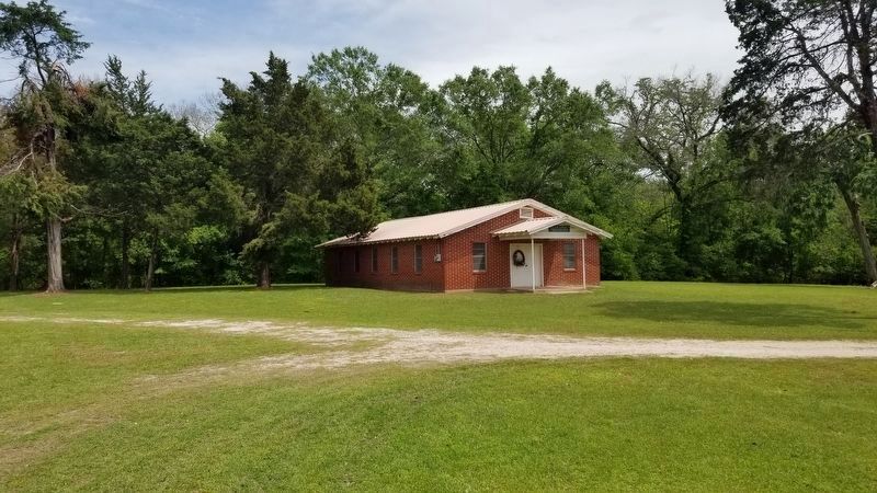
Photographed by James Hulse, April 19, 2021
6. Salem Predestinarian Baptist Church
The Church is located to the south of the Cemetery.
Credits. This page was last revised on April 21, 2021. It was originally submitted on April 21, 2021, by James Hulse of Medina, Texas. This page has been viewed 547 times since then and 64 times this year. Photos: 1, 2, 3, 4, 5, 6. submitted on April 21, 2021, by James Hulse of Medina, Texas.
