Jacob Wolf House
Visitors Over the Years
Wolf Family Home
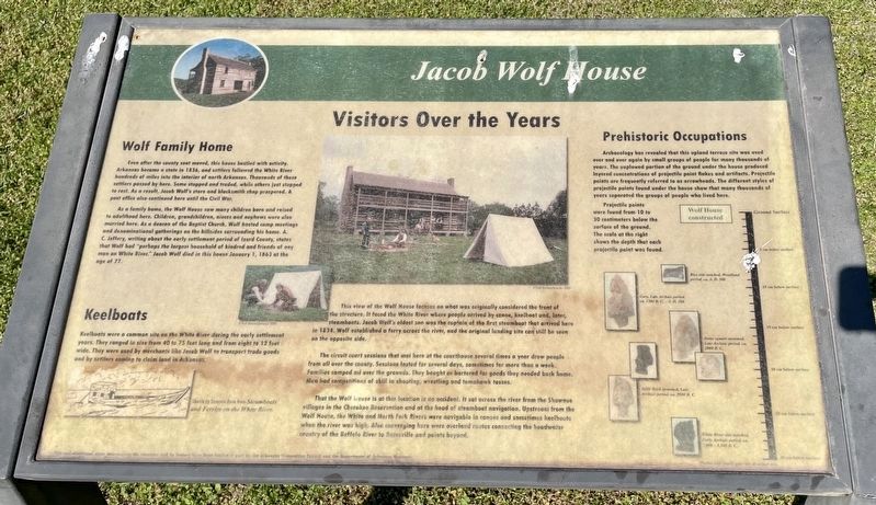
Even after the county seat moved, this house bustled with activity. Arkansas became a state in 1836, and settlers followed the White River hundreds of miles into the interior of north Arkansas. Thousands of these settlers passed by here. Some stopped and traded, while others just stopped to rest. As a result, Jacob Wolf's store and blacksmith shop prospered. A post office also continued here until the Civil War.
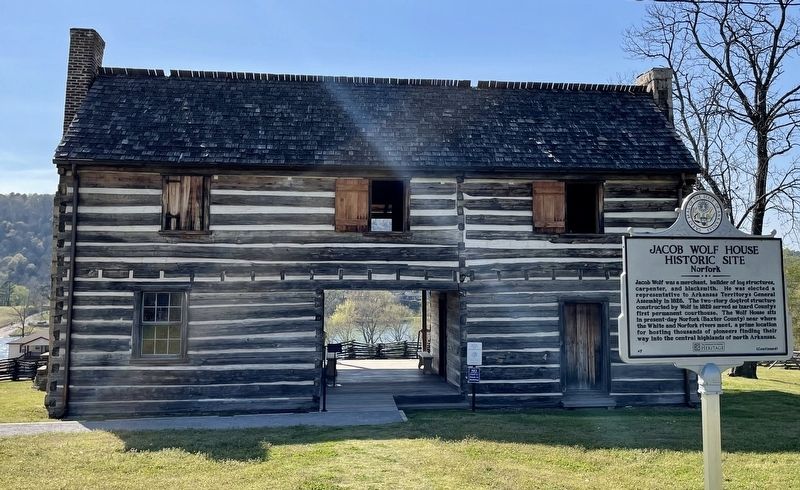
As a family home, the Wolf House saw many children born and raised to adulthood here. Children, grandchildren, nieces and nephews were also married here. As a deacon of the Baptist Church, Wolf hosted camp meetings and denominational gatherings on the hillsides surrounding his home. A. C. Jeffery, writing about the early settlement period of Izard County, states that Wolf had "perhaps the largest household of kindred and friends of any man on White River." Jacob Wolf died in this house January 1, 1863 at the age of 77.
Keelboats
Keelboats were a common site on the White River during the early settlement
years. They ranged in size from 40 to 75 feet long and from eight to 12 feet
wide. They were used by merchants like Jacob Wolf to transport trade goods
and by settlers coming to claim land in Arkansas.
This view of the Wolf House focuses on what was originally
considered the front of the structure. I faced the White River where people arrived by canoe, keelboat and, later, steamboats. Jacob Wolf's oldest son was the captain of the first steamboat that arrived here in 1834. Wolf established a terry across the river, and the original landing site can still be seen on the opposite side.The circuit court sessions that met here at the courthouse several times a year drew people from all over the county. Sessions lasted for several days, sometimes for more than a week. Families camped oil over the grounds. They bought or bartered for goods they needed back home. Men had competitions of skill in shooting, wrestling and tomahawk tosses.
That the Wolf house is at this location is no accident. It sat across the river from the Shawnee villages in the Cherokee Reservation and at the head of steamboat navigation. Upstream from the Wolf House, the White and North Fork Rivers were navigable in canoes and sometimes keelboats when the river was high. Also converging here were overland routes connecting the headwater country of the Buffalo River to Batesville and points beyond.
Prehistoric Occupations
Archaeology has revealed that this upland terrace site was used
over and over again by small groups of people for many thousands of
years. The unplowed portion of the ground under the house produced
layered concentrations
Projectile points were found from 10 to 30 centimeters below the surface of the ground. The scale at the right shows the depth that each projectile point was found.
Erected by Arkansas Humanities Council; Department of Arkansas Heritage.
Topics. This historical marker is listed in these topic lists: Settlements & Settlers • Waterways & Vessels. A significant historical date for this entry is January 1, 1863.
Location. 36° 12.621′ N, 92° 17.234′ W. Marker is in Norfork, Arkansas, in Baxter County. Marker can be reached from the intersection of Arkansas Route 5 and Wolf Street. Touch for map. Marker is at or near this postal address: 13775 Highway 5, Norfork AR 72658, United States of America. Touch for directions.
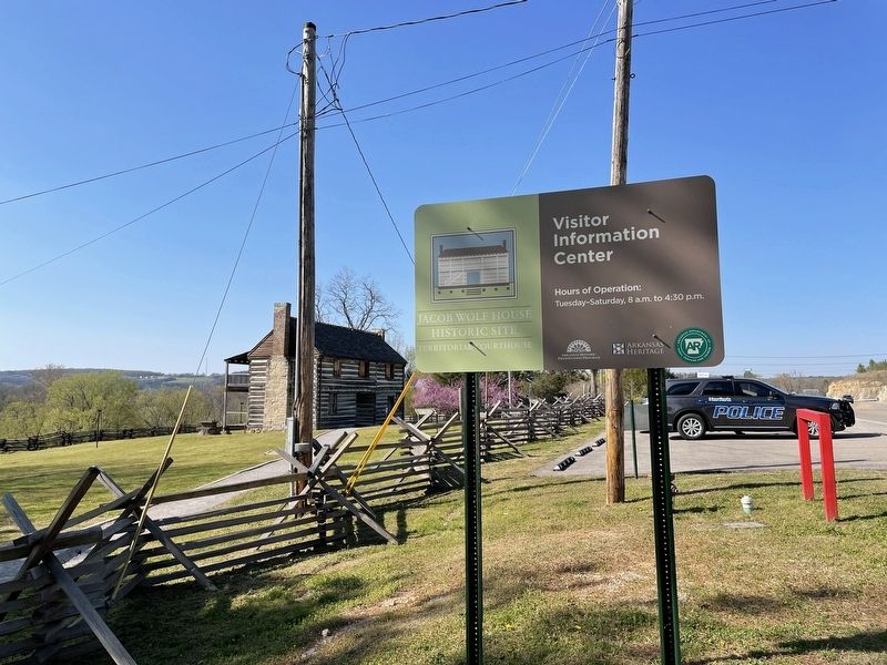
Other nearby markers. At least 8 other markers are within 11 miles of this marker, measured as the crow flies. Jacob Wolf House Historic Site (within shouting distance of this marker); a different marker also named Jacob Wolf House (within shouting distance of this marker); a different marker also named Jacob Wolf House (within shouting distance of this marker); Old Military Road (approx. 5.9 miles away); Mountain Home Cemetery
Regarding Jacob Wolf House. The house was listed on the National Register of Historic Places in 1973.
Credits. This page was last revised on April 22, 2021. It was originally submitted on April 21, 2021, by Mark Hilton of Montgomery, Alabama. This page has been viewed 213 times since then and 14 times this year. Photos: 1, 2, 3. submitted on April 21, 2021, by Mark Hilton of Montgomery, Alabama.


