Central Park in Tulsa in Tulsa County, Oklahoma — The American South (West South Central)
History of This Site
Land donation by Markham D. Ferrell
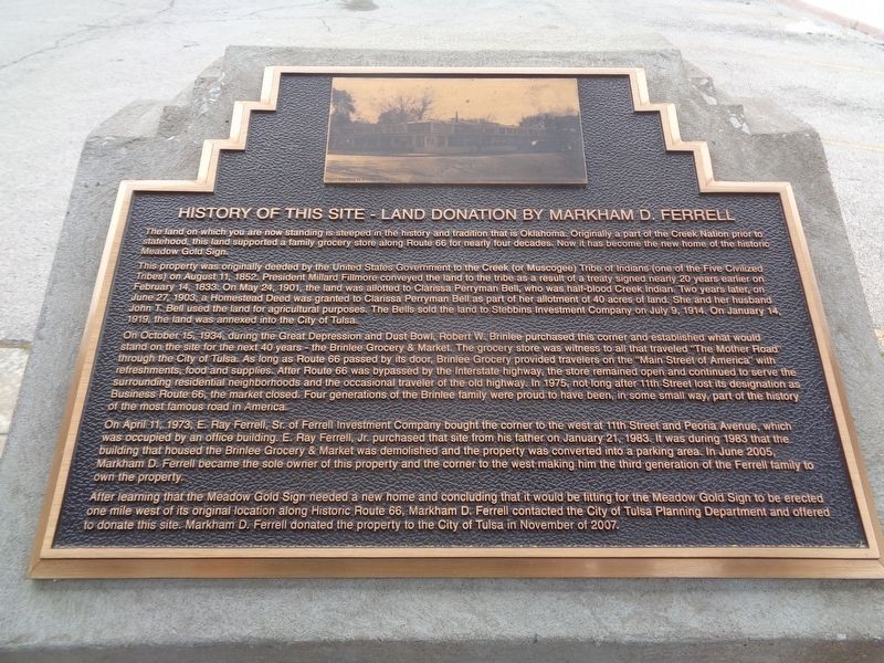
This property was originally deeded by the United States Government to the Creek (or Muscogee) Tribe of Indians (one of the Five Civilized Tribes) on August 11, 1852. President Millard Fillmore conveyed the land to the tribe as a result of a treaty signed nearly 20 years earlier on February 14, 1833. On May 24, 1901, the land was allotted to Clarissa Perryman Bell, who has half-blood Creek Indian. Two years later, on June 27, 1903, a Homestead Deed was granted to Clarissa Perryman Bell as part of her allotment of 40 acres of land. She and her husband John T. Bell used the land for agricultural purposes. The Bells sold the land to Stebbins Investment Company on July 9, 1914. On January 14, 1919, the land was annexed into the City of Tulsa.
On October 14, 1934, during the Great Depression and Dust Bowl, Robert W. Brinlee purchased this corner and established what would stand on the site for the next 40 years - the Brinlee Grocery & Market. The grocery store was witness to all that traveled "The Mother Road" through the City of Tulsa. As long as Route 66 passed by its door, Brinlee Grocery provided travelers on the "Main Street of America" with refreshments, food and supplies. After Route 66 was bypassed by the Interstate highway, the store remained open and continued to serve the surrounding residential neighborhoods and the occasional traveler of the old highway. In 1975, not long after 11th Street lost its designation as Business Route 66, the market closed. Four generations of the Brinlee family were proud to have been, in some small way, part of the history of the most famous road in America.
On April 11, 1973, E. Ray Ferrell, Sr. of Ferrell Investment Company bought the corner to the west at 11th Street and Peoria Avenue, which was occupied by an office building. E. Ray Ferrell, Jr. purchased that site from his father on January 21, 1983. It was during 1983 that the building that housed the Brinlee Grocery & Market was demolished and the property was converted into a parking area. In June 2005, Markham D. Ferrell became the sole owner of this property and the corner to the west making him the third generation of the Ferrell family to own the property.
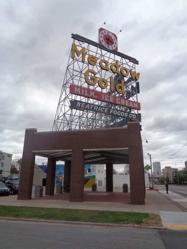
After learning that the Meadow Gold Sign needed a new home and concluding that it would be fitting for the Meadow Gold Sign to be erected one mile west of its original location along Historic Route 66, Markham D. Ferrell contacted the City of Tulsa Planning Department and offered to donate this site. Markham D. Ferrell donated the property to the City of Tulsa in November of 2007.
Erected by Vision 2025.
Topics and series. This historical marker is listed in these topic lists: Industry & Commerce • Native Americans • Roads & Vehicles. In addition, it is included in the U.S. Route 66 series list. A significant historical date for this entry is August 11, 1852.
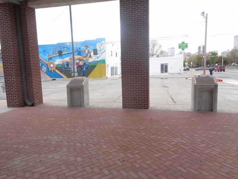
Location. 36° 8.866′ N, 95° 58.488′ W. Marker is in Tulsa, Oklahoma, in Tulsa County. It is in Central Park. Marker is on East 11th Street (Old U.S. 66) west of South Quaker Avenue, on the left when traveling west. Marker is under a structure which holds the Meadow Gold sign. Touch for map. Marker is at or near this postal address: 1324 E 11th St, Tulsa OK 74120, United States of America. Touch for directions.
Other nearby markers. At least 8 other markers are within walking distance of this marker. The History of Neon Signs (here, next to this marker); The History of Meadow Gold (a few steps from this marker); Saving the Meadow Gold Sign (a few steps from this marker); Leyh Building (approx. 0.4 miles away); Warehouse Market (approx. 0.4 miles away); Tulsa Monument Company (approx. half a mile away); Dry Cleaners (approx. half a mile away); Elliott Building (approx. 0.6 miles away). Touch for a list and map of all markers in Tulsa.
Credits. This page was last revised on February 16, 2023. It was originally submitted on April 22, 2021, by Jason Voigt of Glen Carbon, Illinois. This page has been viewed 270 times since then and 22 times this year. Photos: 1, 2, 3. submitted on April 22, 2021, by Jason Voigt of Glen Carbon, Illinois.


