St. Albans in Kanawha County, West Virginia — The American South (Appalachia)
Bangor Cemetery
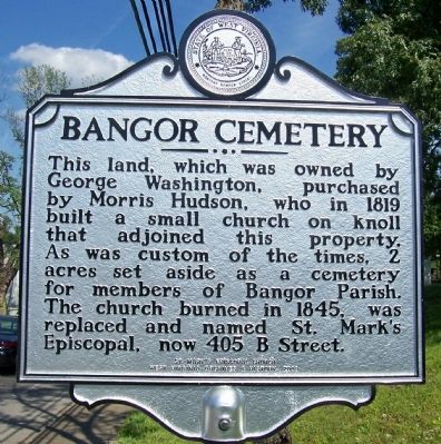
Photographed by Forest McDermott, June 24, 2008
1. Bangor Cemetery Marker
Erected 2008 by St. Mark's Episcopal Church, West Virginia Archives & History.
Topics and series. This historical marker is listed in this topic list: Cemeteries & Burial Sites. In addition, it is included in the West Virginia Archives and History series list. A significant historical year for this entry is 1819.
Location. 38° 22.622′ N, 81° 48.409′ W. Marker is in St. Albans, West Virginia, in Kanawha County. It is at the intersection of Kanawha Terrace and Walnut Street, on the right when traveling east on Kanawha Terrace. Next to a bus stop shelter. Touch for map. Marker is in this post office area: Saint Albans WV 25177, United States of America. Touch for directions.

Regionally, this marker is in Greater Charleston Area. It is also in the American South, specifically in the Upper South,
this page online
Other nearby markers. At least 8 other markers are within 2 miles of this marker, measured as the crow flies: Birkett Davenport Fry (approx. ¼ mile away); Morgan Kitchen Museum (approx. 0.6 miles away); St. Albans Archeological Site (approx. 0.6 miles away); George Washington (approx. 1.2 miles away); Washington's Land (approx. 1.3 miles away); Old St. Albans Post Office (approx. 1.7 miles away); First Baptist Church (approx. 1.7 miles away); World War I Memorial (approx. 1.7 miles away). Touch for a list and map of all markers in St. Albans.
Additional keywords. Warth Cemetery
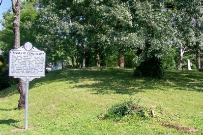
Photographed by Forest McDermott, June 24, 2008
2. Bangor Cemetery Marker
Bangor Cemetery is in the background.
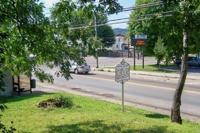
Photographed by Forest McDermott, June 24, 2008
3. Bangor Cemetery Marker
Photo taken from within cemetery looking toward Kanawha Terrace.
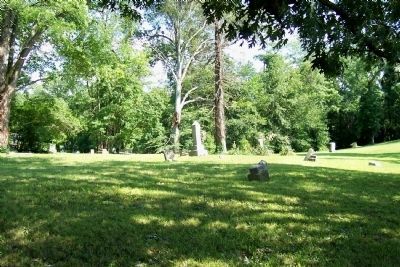
Photographed by Forest McDermott, June 24, 2008
4. Bangor Cemetery
photo of Bangor Cemetery taken up the knoll from the marker.
Credits. This page was last revised on April 24, 2021. It was originally submitted on November 27, 2011, by Forest McDermott of Masontown, Pennsylvania. This page has been viewed 1,193 times since then and 53 times this year. Last updated on April 23, 2021, by Sandy Cunningham of South Charleston. Photos: 1, 2, 3, 4. submitted on November 27, 2011, by Forest McDermott of Masontown, Pennsylvania. • Devry Becker Jones was the editor who published this page.
