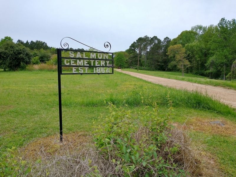
Near Randolph in Pontotoc County, Mississippi — The American South (East South Central)
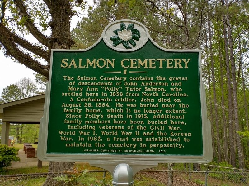
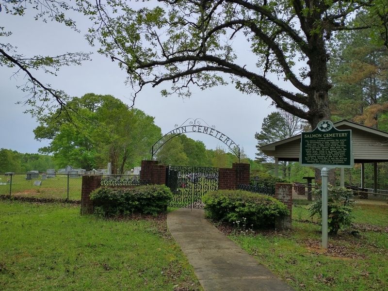
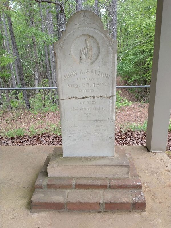
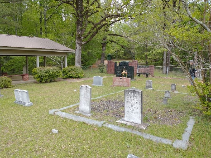
Salmon Cemetery
Erected 2020 by Mississippi Department of Archives and History.
Topics. This historical marker is listed in these topic lists: Cemeteries & Burial Sites • Settlements & Settlers • War, US Civil. A significant historical date for this entry is August 28, 1864.
Location. 34° 11.022′ N, 89° 11.602′ W. Marker is near Randolph, Mississippi, in Pontotoc County. Marker can be reached from the intersection of Lindsey Loop (County Highway 186) and Boy Scout Road (County Highway 185), on the left when traveling north. This marker and cemetery are located at the end of a gravel road that begins at the end of a private drive. The private drive is located near the intersection of County Roads 185 and 186. Touch for map. Marker is in this post office area: Randolph MS 38864, United States of America. Touch for directions.
Other nearby markers. At least 8 other markers are within 12 miles of this marker, measured as the crow flies. A different marker also named Salmon Cemetery (here, next to this marker); Randolph School (approx. 1.3 miles away); Betty Allen (approx. 5.6 miles away); a different marker also named Betty Allen (approx. 7.9 miles away); Thaxton Cemetery (approx. 8.7 miles away); Lochinvar (approx. 11.3 miles away); Toxish Baptist Church (approx. 11.7 miles away); Chickasaw Female College (approx. 12 miles away). Touch for a list and map of all markers in Randolph.
Credits. This page was last revised on April 25, 2021. It was originally submitted on April 24, 2021, by Tom Bosse of Jefferson City, Tennessee. This page has been viewed 176 times since then and 32 times this year. Photos: 1, 2, 3, 4, 5. submitted on April 24, 2021, by Tom Bosse of Jefferson City, Tennessee. • Bernard Fisher was the editor who published this page.
