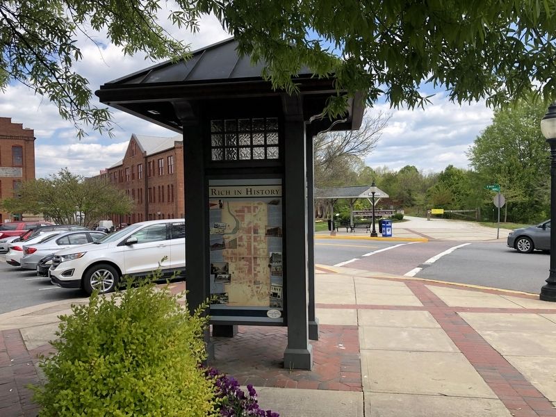
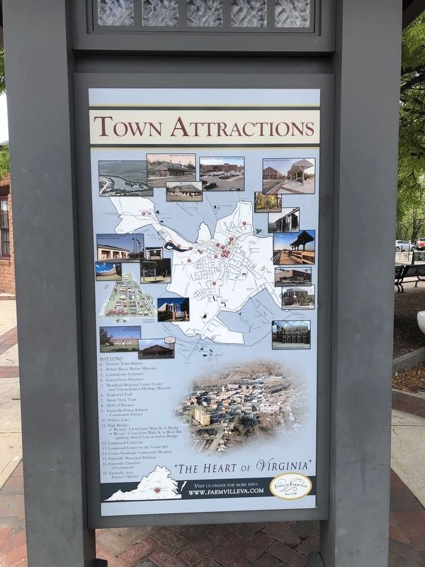
Rich in History
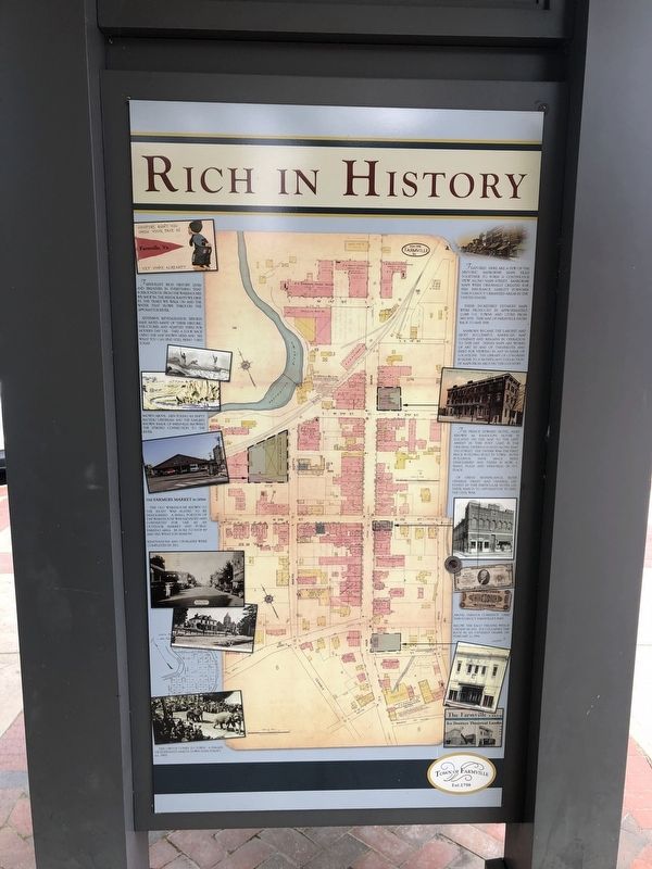
Farmville's rich history lives and breathes in everything that surrounds us, from the warehouses we shop in, the restaurants we dine in, the trails we walk on and the water that flows through the Appomattox River.
Extensive revitalization efforts have saved many of these historic structures and adapted them for modern day use. Take a look back using the map here and see what you can still find today.
Shown above: men poling an empty batteau upstream and the earliest known image of Farmville showing the strong connection to the river.
The Farmers Market Is Open!
The old warehouse shown to the right was slated to be demolished. A small portion of the warehouse was salvaged and converted for use as an outdoor market and public parking area. Be sure to stop by and see what's in season!
Renovations and upgrades were completed in 2012.
The circus comes to town! A parade of elephants march down Main Street (ca. 1907)
Featured here are a few of the historic Sanborn© maps tiled together to form a continuous view along Main Street. Sanborn© maps were originally created for fire insurance liability purposes throughout urbanized areas in the United States. These incredibly detailed maps were produced in approximately 12,000 U.S. towns and cities from 1867-1970. This map of Farmville dates back
to May 1918.Sanborn became the largest and most successful American map company and remains in operation to this day. These maps are works of art in and of themselves and exist for viewing with any number of locations. The Library of Congress is home to a significant collection of maps from around the country.
The Prince Edward Hotel, also known as Randolph House is located in this post card is the original tavern located along East 2nd Street. The tavern was the first brick building built in town. Both buildings have since been demolished and there is now a small plaza and memorial in it's place.
Of great significance, both General Grant and General Lee stayed in this particular hotel on their march to Appomattox to end the Civil War.
Above: various currency used throughout Farmville's past.
Below: The Eaco Theatre which opened in 1921. Ice collapsed the roof in an untimely demise on February 11, 1994.
Erected by Town of Farmville, Virginia.
Topics. This historical marker is listed in these topic lists: Industry & Commerce • Settlements & Settlers • War, US Civil. A significant historical date for this entry is February 11, 1994.
Location. 37° 18.275′ N, 78° 23.465′ W. Marker is in Farmville, Virginia, in Prince Edward County. Marker is at the intersection of North
Other nearby markers. At least 8 other markers are within walking distance of this marker. High Bridge Trail (here, next to this marker); The Crallé Family (here, next to this marker); Site of the Randolph House (about 300 feet away, measured in a direct line); Farmville (about 600 feet away); a different marker also named Farmville (about 600 feet away); The Light of Reconciliation / Now, Therefore Be It Resolved, (approx. 0.2 miles away); Veterans Memorial (approx. ¼ mile away); World War I Memorial (approx. ¼ mile away). Touch for a list and map of all markers in Farmville.
Additional keywords. cartography
Credits. This page was last revised on April 25, 2021. It was originally submitted on April 25, 2021, by Devry Becker Jones of Washington, District of Columbia. This page has been viewed 96 times since then and 9 times this year. Photos: 1, 2, 3. submitted on April 25, 2021, by Devry Becker Jones of Washington, District of Columbia.


