Near Paris in Bourbon County, Kentucky — The American South (East South Central)
Colville Covered Bridge / Covered Bridges
Colville Covered Bridge
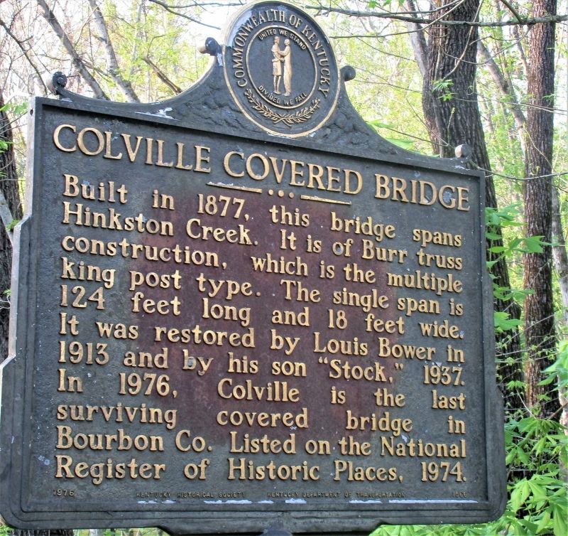
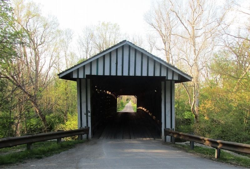
Built in 1877, this bridge spans Hinkston Creek. It is of Burr truss construction, which is the multiple king post type. The single span is 124 feet long and 18 feet wide. It was restored by Louis Bower in 1913 and by his son "Stock," 1937. In 1976, Colville is the last surviving bridge in Bourbon Co. Listed on the National Register of Historic Places, 1974.
Covered Bridges
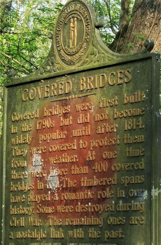
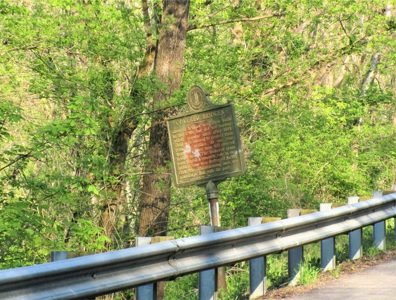
Covered bridges were first built in the 1790s but did not become widely popular until after 1814. They were covered to protect them from the weather. At one time there were more than 400 covered bridges in Ky. The timbered spans have played a romantic role in our history. Some were destroyed during the Civil War. The remaining ones are a nostalgic link with the past.
Erected 1976 by Kentucky Historical Society Kentucky Department of Highways. (Marker Number 1566.)
Topics and series. This historical marker is listed in these topic lists: Bridges & Viaducts • Roads & Vehicles. In addition, it is included in the Covered Bridges, and the Kentucky Historical Society series lists.
Location. 38° 19.447′ N, 84° 12.174′ W. Marker is near Paris, Kentucky, in Bourbon County. Marker is on Colville Road (Kentucky Route 3118) north of Endicott Lane, on the right when traveling north. bridge crosses the South Fork of the Licking River. Touch for map. Marker is at or near this postal address: 509 Colville Road, Paris KY 40361, United States of America. Touch for directions.
Other nearby markers. At least 8 other markers are within 6 miles of this marker, measured as the crow flies. Ruddells Mills (approx. 2.4 miles away); Mae Street Kidd (approx. 3.4 miles away); Millersburg Military Institute (approx. 3.4 miles away); Tollgate House (approx. 3.7 miles away); Major John Miller / Millersburg, Kentucky (approx. 3.7 miles away); Site of 1792 Church (approx. 5.4 miles away); Site of Mt. Gilead Methodist Church (approx. 5.4 miles away); Ruddle's Station (approx. 5.8 miles away). Touch for a list and map of all markers in Paris.
Credits. This page was last revised on April 27, 2021. It was originally submitted on April 25, 2021, by Rev. Ronald Irick of West Liberty, Ohio. This page has been viewed 239 times since then and 31 times this year. Photos: 1, 2, 3, 4. submitted on April 25, 2021, by Rev. Ronald Irick of West Liberty, Ohio. • J. Makali Bruton was the editor who published this page.


