Brownsville in Edmonson County, Kentucky — The American South (East South Central)
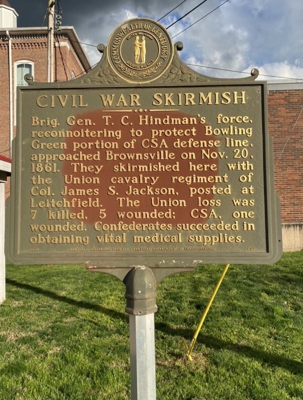
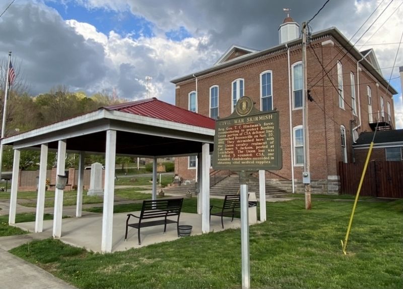
Civil War Skirmish
Erected 1979 by Kentucky Historical Society and Kentucky Department of Transportation. (Marker Number 607.)
Topics. This historical marker is listed in this topic list: War, US Civil. A significant historical date for this entry is November 20, 1861.
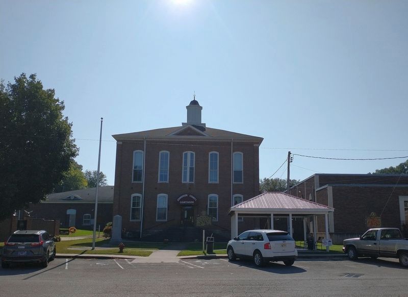
Location. 37° 11.616′ N, 86° 16.094′ W. Marker is in Brownsville, Kentucky, in Edmonson County. Marker is at the intersection of Main Street (Kentucky Route 70/259) and Main Cross Street, on the left when traveling east on Main Street. Touch for map. Marker is at or near this postal address: 108 Main St, Brownsville KY 42210, United States of America. Touch for directions.
Other nearby markers. At least 8 other markers are within 5 miles of this marker, measured as the crow flies. Brownsville (a few steps from this marker); Historic Entrance (a few steps from this marker); Edmonson County Veterans Memorial (a few steps from this marker); County Named, 1825 (within shouting distance of this marker); In Honor of Sgt Pleas P. Sanders (within shouting distance of this marker); Marvel Mills Logan (approx. 1.7 miles away); Kyrock (approx. 4.7 miles away); Chalybeate Springs / Chameleon Springs (approx. 4.9 miles away). Touch for a list and map of all markers in Brownsville.
Credits. This page was last revised on September 24, 2023. It was originally submitted on April 25, 2021, by Darren Jefferson Clay of Duluth, Georgia. This page has been viewed 289 times since then and 28 times this year. Photos: 1, 2. submitted on April 25, 2021, by Darren Jefferson Clay of Duluth, Georgia. 3. submitted on September 23, 2023, by Tom Bosse of Jefferson City, Tennessee. • Bernard Fisher was the editor who published this page.


